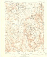
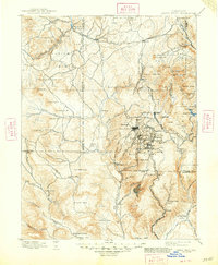
1901 Map of Pikes Peak
USGS Topo · Published 1951About this map
Pikes Peak anchors the eastern edge of this high-altitude landscape, overlooking the intense industrial cluster of the Cripple Creek mining district. At the turn of the century, this region was a hive of activity, with dense settlements like Cripple Creek, Victor, and Goldfield supported by a complex network of rail lines. The Midland Terminal Railroad snakes through the rugged terrain, connecting the gold-producing hubs to the outside world.
Find a feature on this map
97 named features on this map. Tap any name to fly to it.
Don’t see what you’re looking for? This feature index may not catch every label — zoom into the map to look around manually.
Map Details
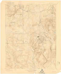
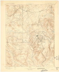
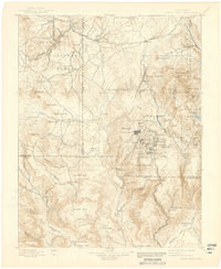
Editions of this 1901 Pikes Peak Map
6 editions found

Other maps of this area

1889 · Canon City
USGS Topo · 1:125,000

1891 · Pueblo
USGS Topo · 1:125,000

1892 · Canon City
USGS Topo · 1:125,000

1893 · Platte Canyon
USGS Topo · 1:125,000

1893 · Colorado Springs
USGS Topo · 1:125,000

1894 · Pikes Peak
USGS Topo · 1:125,000

1894 · Castle Rock
USGS Topo · 1:125,000

1894 · Pueblo
USGS Topo · 1:125,000

1896 · Pueblo
USGS Topo · 1:125,000

1897 · Pueblo
USGS Topo · 1:125,000