2020s Maps of Phillips County, Colorado
Explore 18 historic maps of Phillips County from the 2020s. These maps offer a rare glimpse into what life looked like during the 2020s — showing old roads, neighborhoods, homes, and landmarks that have changed or disappeared over time.
Whether you're researching your family's past, planning a metal detecting trip, or studying how Phillips County's landscape evolved across the 2020s, these high-resolution maps are a powerful tool for exploring the history of this region.
- Focus on a specific era: All maps on this page are from the 2020s, giving you a focused view of this time period.
- See what’s changed: Compare century-old streets, trails, and buildings to today's modern landscape using overlays and satellite layers.
- Research with precision: Use these maps for genealogy, historical research, land use analysis, or educational projects.
- View, download, or print: Maps are fully viewable online in high resolution, and can be downloaded or printed for your own records.
Start exploring Phillips County's history through authentic maps from the 2020s. This is your window into the past.
Phillips County, CO maps
(18)- 2022 Map of Amherst SW, 2022 Print
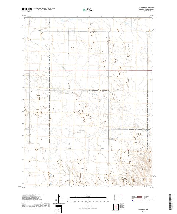 2022 Amherst SW2022 Print · USGSNortheastern Colorado’s high plains are captured here in the early twenty-first century, showing a landscape defined by water and the section grid. Researchers can trace the paths of Frenchman Cr and Wildhorse Cr as they cross CO RD 20.
 - 2022 Map of Haxtun East, 2022 Print
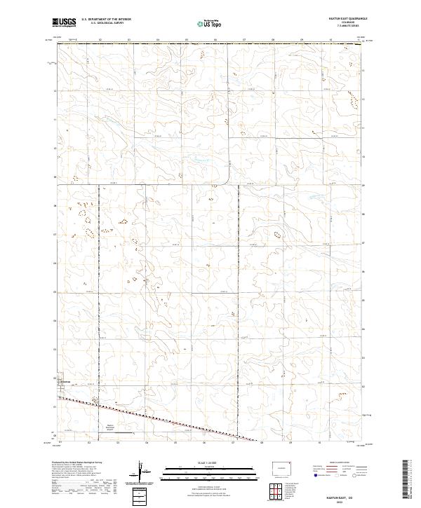 2022 Haxtun East2022 Print · USGSEastern Colorado's agricultural heartland is captured in this 2022 survey, showing the corner of Haxtun and its surrounding plains. Researchers can trace the area's infrastructure from the Haxtun Municipal Airport to the path of Wildhorse Cr.
 - 2022 Map of Paoli, 2022 Print
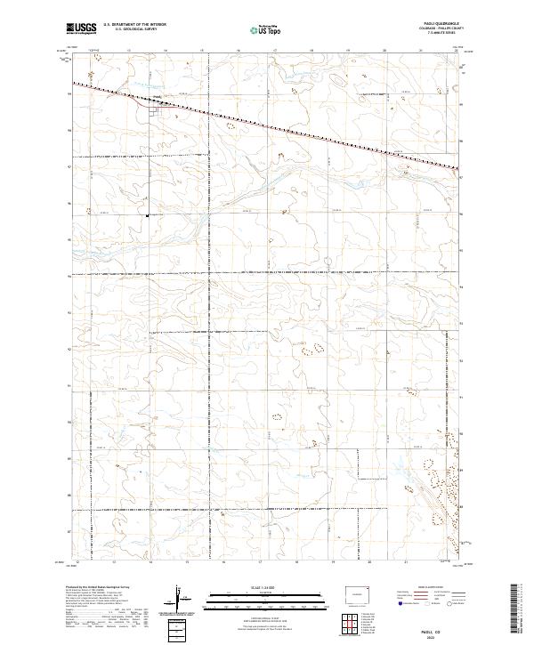 2022 Paoli2022 Print · USGSThe rural community of Paoli and the surrounding Phillips County plains are captured here in the early twenty-first century. Researchers can locate the Posegate Cem and trace the many branches of South Fork Frenchman Creek across the section-line grid.
 - 2022 Map of Holyoke NW, 2022 Print
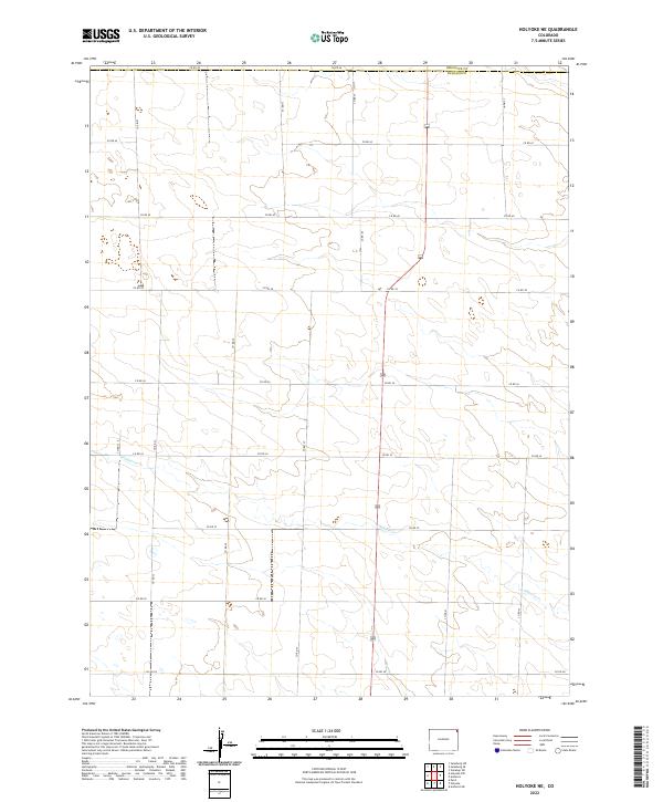
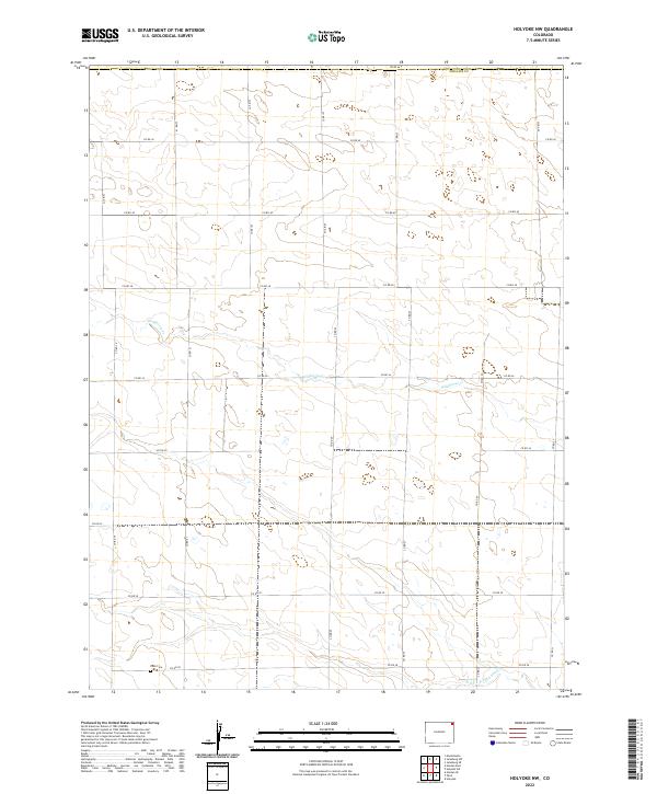 2022 Holyoke NW2022 Print · USGSPhillips County in the contemporary era remains a landscape of meticulously gridded rural life on the Colorado High Plains. Genealogists and researchers can locate family sites near Paoli Cem or trace the drainage of Wildhorse Cr and N Fork Frenchman Cr.
 - 2022 Map of Haxtun West, 2022 Print
 2022 Haxtun West2022 Print · USGSHaxtun and the surrounding High Plains of Logan County are shown here in the 2020s. Researchers can locate the Haxtun Cem, the settlement of Dailey, and the intermittent flow of Wildhorse Cr across the agricultural sections.
 - 2022 Map of Alvin NW, 2022 Print
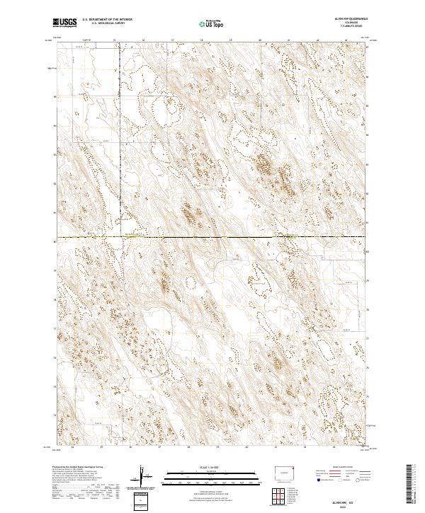 2022 Alvin NW2022 Print · USGSThe Colorado High Plains at the Phillips Co Yuma Co border are captured here in the early 2020s. Researchers can trace the enduring grid of section-line roads like Co Rd 49 and Co Rd HH across the distinct sandhill topography.
 - 2022 Map of Clarkville, 2022 Print
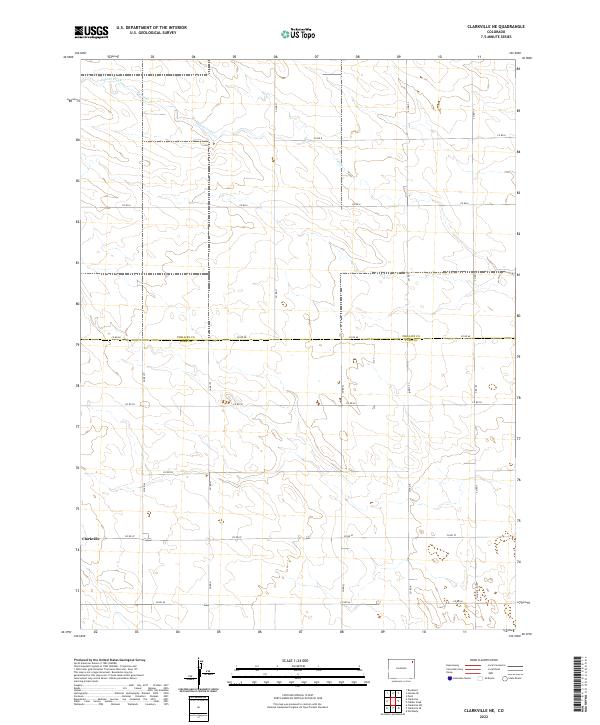
 2022 Clarkville2022 Print · USGSEastern Colorado farm country is captured here in the early twenty-first century, showing the intersection of three counties. Researchers can locate the Bryant Cem and Rockland Cem, or trace the paths of Coyote Creek and Patent Creek.
 - 2022 Map of Alvin NE, 2022 Print
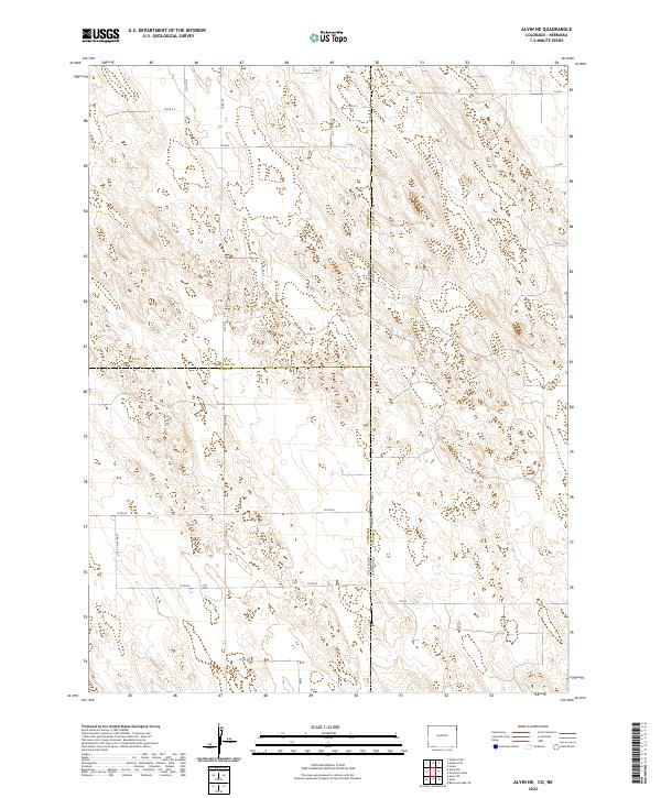 2022 Alvin NE2022 Print · USGSThe high plains of the Colorado and Nebraska borderlands are captured here in the early twenty-first century. Researchers can trace the tri-county intersection of Phillips, Yuma, and Chase counties along section roads like Co Rd 10 and 736 Rd.
 - 2022 Map of Holyoke, 2022 Print
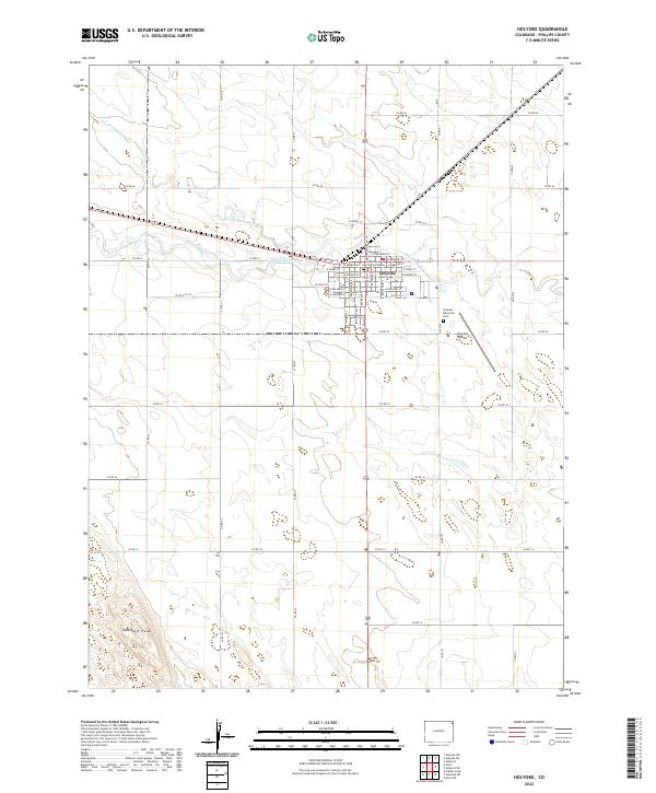 2022 Holyoke2022 Print · USGSPhillips County ranching and farming lands surround the county seat in the early 2020s. Researchers can trace local landmarks like the Phillips County Courthouse and Goddard Peak, or follow the winding South Fork Frenchman Creek.
 - 2022 Map of Rockland, 2022 Print
 2022 Rockland2022 Print · USGSEastern Colorado high plains agriculture and drainage patterns are on display in this contemporary survey of the Rockland area. Genealogists and local historians can trace the intersection of county lines and watercourses like Sandy Cr and S Fork Frenchman Cr.
 - 2022 Map of Clarkville NE, 2022 Print
 2022 Clarkville NE2022 Print · USGSNortheastern Colorado agriculture defines this landscape at the county line between Phillips Co and Yuma Co. Genealogists and researchers can trace the rural road grid surrounding Clarkville and follow the seasonal course of Patent Creek.
 - 2022 Map of Holyoke NE, 2022 Print
 2022 Holyoke NE2022 Print · USGSPhillips County in the early 2020s remains a landscape of vast agricultural grids and quiet prairie drainages. Researchers can trace the path of Wildhorse Cr or locate specific sections along the border of Sedgwick Co and Phillips Co.
 - 2022 Map of Fiddler Peak, 2022 Print
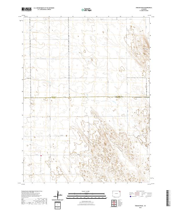 2022 Fiddler Peak2022 Print · USGSEastern Colorado's rural landscape at the Phillips and Yuma county line is captured in this recent survey. Researchers can trace the section-line road network and the winding path of Patent Cr as it flows past Fiddler Peak.
 - 2022 Map of Amherst SE, 2022 Print
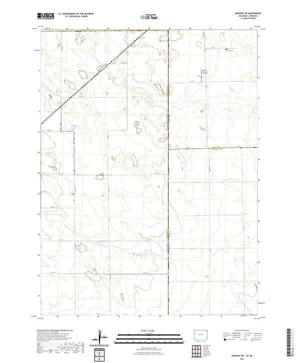
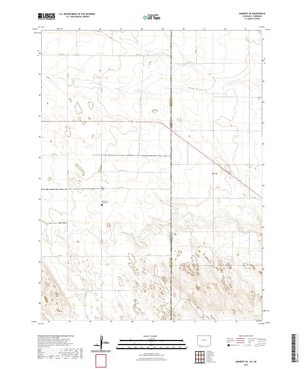 2022 Amherst SE2022 Print · USGSThe Colorado and Nebraska borderlands are captured here in the early twenty-first century, showcasing a landscape of high plains agriculture and drainage basins. Genealogists and local historians can locate Pleasant Valley Cem and trace the paths of Frenchman Cr and Wildhorse Cr.
 - 2022 Map of Amherst, 2022 Print
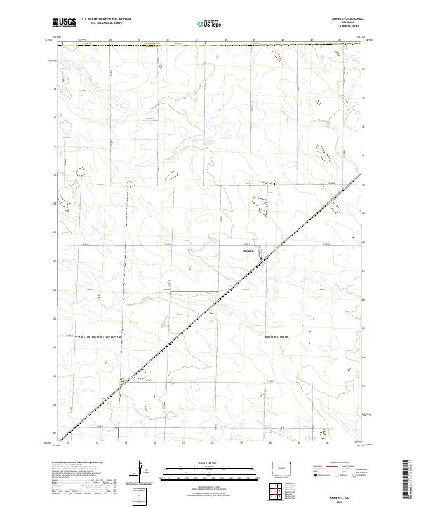 2022 Amherst2022 Print · USGSAmherst and the surrounding Phillips County plains are captured here in the early twenty-first century as a landscape defined by industrial-scale agriculture. Genealogists and local historians can trace the grid-work of section roads to find landmarks like Amherst Cem, Monmouth Ave, and the course of Wildhorse Cr.
 - 2022 Map of Wauneta NE, 2022 Print
 2022 Wauneta NE2022 Print · USGSThe High Plains on the border of Phillips and Yuma counties appear here in the early 2020s, revealing a landscape defined by its grid. Researchers can trace the vast network of rural routes such as Co Rd BB, Co Rd 2, and Co Rd 10.
 - 2022 Map of Haxtun SE, 2022 Print
 2022 Haxtun SE2022 Print · USGSPhillips County reveals its agricultural grid and prairie drainages during the early twenty-first century. Researchers can trace the family history at Jarvis Cem and follow the routes of Sandy Creek and the S Fork Frenchman Cr.
 - 2022 Map of Amherst NE, 2022 Print
 2022 Amherst NE2022 Print · USGSThe Colorado-Nebraska borderlands are documented here at the intersection of three counties as they appeared recently. Genealogists and local historians can locate Venango Cem and trace rural routes like State Line Rd or Co Rd 42.
End of results
Showing maps 1-18 of 18
Top cities of Phillips County
Frequently asked questions
- What are the different types of historical maps available for Phillips County?
- What is the oldest map of Phillips County?
- Where can I purchase historical maps of Phillips County for my home or office?
- Where can I download high-res historical maps of Phillips County?
- Are there historical topographic maps available for Phillips County?
- Is there historical aerial imagery available for Phillips County?
- Where are historical maps of Phillips County sourced from?