Old Maps of Phillips County, Colorado for Metal Detecting
Plan your next treasure hunt with 112 historic maps of Phillips County. Find old homesites, ghost towns, trails, and gathering spots that may be lost to time — perfect for identifying promising metal detecting locations.
- Locate forgotten sites: Uncover places like long-lost settlements, abandoned rail lines, or gathering spots.
- Plan better hunts: Use map overlays combined with LiDAR or satellite views to narrow in on historically rich areas.
- Made for detectorists: Thousands of hobbyists use these maps to discover relics, coins, and hidden history.
Use these historic maps to boost your research and find new opportunities beneath the surface of Phillips County.
Phillips County, CO maps
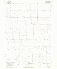
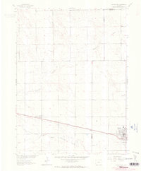
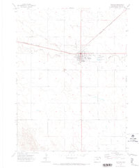
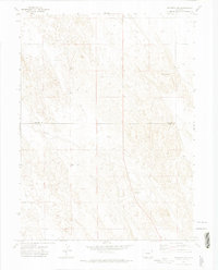
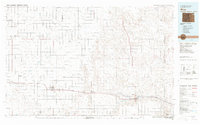
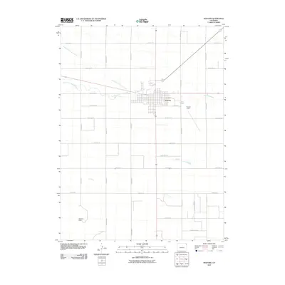
(112)- 1954 Map of Sterling
 1954 Sterling1954 Print · USGSNortheastern Colorado and the Nebraska borderlands are defined by the river-and-rail corridors of the mid-twentieth century. Researchers can trace the development of agricultural hubs from Sterling and Fort Morgan to smaller rail stops along the Union Pacific and Burlington Northern lines.3 unique versions available
 - 1958 Map of Sterling
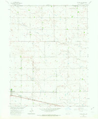
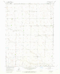
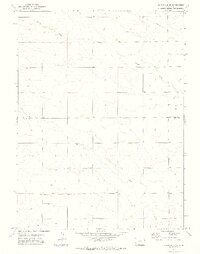
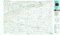
 1958 Sterling1958 Print · USGSNortheastern Colorado thrived along the river and rail corridors during the late fifties. Genealogists and historians can trace family-named irrigation works like Davis Brothers Ditch and agricultural hubs from Peetz to Fort Morgan.
 - 1962 Map of Holyoke NE, 1963 Print
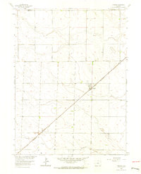
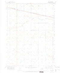
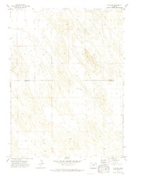
 1962 Holyoke NE1963 Print · USGSPhillips County in the early sixties reveals a landscape of High Plains agriculture and local industry. Genealogists and historians can trace the cultural developments of the era through features like Wildhorse Creek, scattered grain Storage Bins, and the northern Gravel Pits.2 unique versions available
 - 1962 Map of Haxtun East, 1964 Print
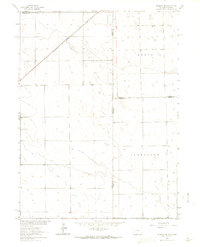
 1962 Haxtun East1964 Print · USGSPhillips and Sedgwick Counties are captured here in the early sixties as rural agricultural life centered on the railroad. Genealogists and local historians can trace the original layout of Haxtun, locate the Fairfield Cem, and follow the Chicago Burlington and Quincy rail line.2 unique versions available
 - 1962 Map of Amherst, 1964 Print
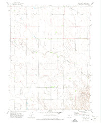
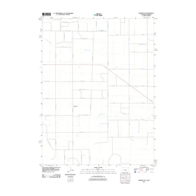
 1962 Amherst1964 Print · USGSThe High Plains of Phillips County are captured here in the early sixties, showing the tight relationship between the railroad and local settlement. Genealogists can locate the Amherst Cem and trace the path of the CHICAGO BURLINGTON AND QUINCY railroad through Amherst.3 unique versions available
 - 1962 Map of Amherst NE, 1964 Print
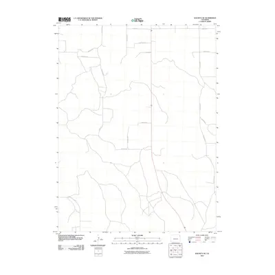
 1962 Amherst NE1964 Print · USGSHigh plains ranching and rail transport define this interstate borderland during the early sixties. Researchers can trace the Chicago Burlington and Quincy rail line and locate the Venango Cem near the Colorado Nebraska line.3 unique versions available
 - 1962 Map of Haxtun West, 1964 Print
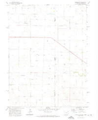
 1962 Haxtun West1964 Print · USGSNortheastern Colorado in the early sixties centers on the rail-and-oil economy of Logan and Phillips counties. Genealogists and historians can locate family landmarks in Haxtun and Dailey, or trace the path of the Chicago Burlington and Quincy railroad.2 unique versions available
 - 1962 Map of Holyoke NW, 1964 Print
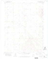
 1962 Holyoke NW1964 Print · USGSPhillips County's high plains come into focus in the early sixties as a landscape of isolated farmsteads and community hubs. Genealogists and local historians can trace family locations near Fairview Ch, Paoli Cem, and the Fairfield Community Hall.2 unique versions available
 - 1971 Map of Paoli, 1973 Print
 1971 Paoli1973 Print · USGSPhillips County plains life in the early seventies centers on the small rail-town of Paoli. Genealogists and local researchers can locate the Posegate Cem and trace the path of the Burlington Northern railroad through the forks of Frenchman Creek.2 unique versions available
 - 1971 Map of Amherst SW, 1973 Print
 1971 Amherst SW1973 Print · USGSThe high plains of Phillips County are captured here in the early seventies, showing a landscape defined by water rights and ranching. Genealogists and researchers can trace the drainage of Frenchman Creek and Wildhorse Creek alongside numerous named water wells.
 - 1971 Map of Holyoke, 1973 Print
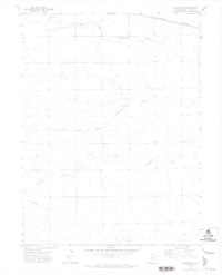
 1971 Holyoke1973 Print · USGSIn the early seventies, the Phillips County seat thrived as a rail and agricultural hub along the Burlington Northern. Local historians can trace the town's mid-century footprint through the County Fairground, the High Sch, and the local Cem.
 - 1971 Map of Alvin NW, 1974 Print
 1971 Alvin NW1974 Print · USGSThe Colorado plains at the border of Phillips and Yuma counties are captured in the early seventies, showcasing a landscape defined by cattle ranching and energy. Researchers can trace the subterranean water network through numerous Wells and the prominent diagonal path of the Pipeline near Vogus.3 unique versions available
 - 1971 Map of Amherst SE, 1974 Print
 1971 Amherst SE1974 Print · USGSThe Colorado and Nebraska state line meets in the early 1970s, showing a high plains landscape shaped by ranching and resource extraction. Researchers can trace rural landmarks like Pleasant Valley Cem, Roadside Park, and the courses of Frenchman Creek and Wildhorse Creek.
 - 1971 Map of Fiddler Peak, 1974 Print
 1971 Fiddler Peak1974 Print · USGSThe Phillips and Yuma County line in the early 1970s shows a landscape of cattle ranching and scattered prairie outposts. Researchers can locate the community around Wages, the Wages Ch, and natural landmarks like Patent Creek and Fiddler Peak.
 - 1971 Map of Wauneta NE, 1974 Print
 1971 Wauneta NE1974 Print · USGSEastern Colorado land use comes into focus during the early 1970s along the Phillips and Yuma county line. Researchers can trace local names and infrastructure such as Sheridan, Hargreaves, and numerous Well sites across this section of the plains.
 - 1971 Map of Clarkville NE, 1974 Print
 1971 Clarkville NE1974 Print · USGSThe high plains of eastern Colorado are captured here in the early seventies, showing the sparse but organized settlement of the borderlands. Genealogists and researchers can trace rural landmarks like Ford Ch, a remote Landing Strip, and the winding path of Patent Creek.2 unique versions available
 - 1971 Map of Haxtun SE, 1974 Print
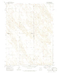
 1971 Haxtun SE1974 Print · USGSPhillips County in the early seventies is defined by the braided drainage of the Frenchman Creek system and the open stretches of the High Plains. Family historians and researchers can locate the Jarvis Cem and trace the route of the Burlington Northern railroad.
 - 1971 Map of Alvin NE, 1974 Print
 1971 Alvin NE1974 Print · USGSThe tri-state borderland between Colorado and Nebraska comes alive in this early 1970s survey of the High Plains. Genealogists and land researchers can trace property boundaries across Colorado and Nebraska near a Gravel Pit and numerous wells.3 unique versions available
 - 1972 Map of Clarkville, 1975 Print
 1972 Clarkville1975 Print · USGSEastern Colorado ranching country is documented here in the early 1970s, at the junction of three counties. Local historians and genealogists can trace family landmarks like Rockland Cem and Bryant Cem, or locate the site of Almhof.2 unique versions available
 - 1972 Map of Rockland, 1975 Print
 1972 Rockland1975 Print · USGSThe Colorado plains at the Logan and Phillips County line appear in the early seventies as a landscape of remote ranching outposts and ephemeral waterways. Genealogists and local historians can trace the locations of Rockland, Hunt, and the seasonal flows of Sandy Creek.
 - 1981 Map of Wray, 1982 Print
 1981 Wray1982 Print · USGSThe high plains at the meeting of Colorado, Nebraska, and Kansas are documented here in the early 1980s. Local researchers can trace the Burlington Northern rail corridor and locate rural landmarks like Lone Star, Glocken Hill, and Dearing Lake.
 - 1983 Map of Julesburg
 1983 Julesburg1983 Print · USGSNortheastern Colorado and the Nebraska borderlands are captured here in the early eighties, centered on the vital South Platte River valley. Researchers can trace the path of the Union Pacific through towns like Julesburg or explore the rural layout of Peetz Table.
 - 2010 Map of Amherst SE, 2010 Print
 2010 Amherst SE2010 Print · USGSCovers Phillips County, including Chase County, United States, and other nearby areas
 - 2010 Map of Wauneta NE, 2010 Print
 2010 Wauneta NE2010 Print · USGSCovers Phillips County, including Yuma County, United States, and other nearby areas
 - 2010 Map of Holyoke, 2010 Print
 2010 Holyoke2010 Print · USGSCovers Phillips County, including Holyoke, United States, and other nearby areas
Showing maps 1-25 of 112
Top cities of Phillips County
Frequently asked questions
- What are the different types of historical maps available for Phillips County?
- What is the oldest map of Phillips County?
- Where can I purchase historical maps of Phillips County for my home or office?
- Where can I download high-res historical maps of Phillips County?
- Are there historical topographic maps available for Phillips County?
- Is there historical aerial imagery available for Phillips County?
- Where are historical maps of Phillips County sourced from?