
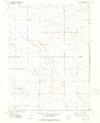
1972 Map of Clarkville
USGS Topo · Published 1975About this map
Clarkville sits in the corner of this high-plains landscape, where the borders of Phillips, Logan, and Yuma counties converge in the early 1970s. The topography is defined by the ephemeral drainages of Patent Creek in the north and the winding course of Coyote Creek that cuts through the center of the sheet. Notable for its isolated agricultural settlements, the map documents the small community of Almhof and family or community landmarks such as Rockland Cem and Bryant Cem, which provide specific points of interest for genealogists tracing local history.
Find a feature on this map
13 named features on this map. Tap any name to fly to it.
Don’t see what you’re looking for? This feature index may not catch every label — zoom into the map to look around manually.
Map Details
Editions of this 1972 Clarkville Map
2 editions found
Other maps of this area

1954 · Sterling
USGS Topo · 1:250,000

1958 · Sterling
USGS Topo · 1:250,000

1971 · Clarkville NE
USGS Topo · 1:24,000

1971 · Haxtun SE
USGS Topo · 1:24,000

1971 · Clarkville SE
USGS Topo · 1:24,000

1972 · New Haven
USGS Topo · 1:24,000

1972 · St Petersburg
USGS Topo · 1:24,000

1972 · Rockland
USGS Topo · 1:24,000

1972 · Lone Star
USGS Topo · 1:24,000

1972 · Clarkville SW
USGS Topo · 1:24,000