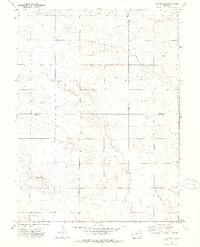
1972 Map of Clarkville
USGS Topo · Published 1975About this map
Clarkville stands as the primary hub in this eastern Colorado high plains landscape, mapped during a field check in the early 1970s. The region is defined by its wide, open drainage patterns where Patent Creek and Coyote Creek cut across the terrain. Small rural settlements like Imhof are connected by a network of section roads that navigate the subtle elevation changes near Antelope Gap.
Find a feature on this map
13 named features on this map. Tap any name to fly to it.
Don’t see what you’re looking for? This feature index may not catch every label — zoom into the map to look around manually.
Map Details
Editions of this 1972 Clarkville Map
2 editions found
Other maps of this area

1954 · Sterling
USGS Topo · 1:250,000

1958 · Sterling
USGS Topo · 1:250,000

1971 · Clarkville NE
USGS Topo · 1:24,000

1971 · Haxtun SE
USGS Topo · 1:24,000

1971 · Clarkville SE
USGS Topo · 1:24,000

1972 · Clarkville
USGS Topo · 1:24,000

1972 · New Haven
USGS Topo · 1:24,000

1972 · St Petersburg
USGS Topo · 1:24,000

1972 · Rockland
USGS Topo · 1:24,000

1972 · Lone Star
USGS Topo · 1:24,000