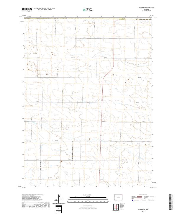
2022 Map of Holyoke NE
USGS Topo · Published 2022About this map
Wildhorse Cr meanders across the southern half of this landscape, carving a subtle path through the high plains of northeastern Colorado. This 2022 survey captures the expansive rural grid system of Phillips County, defined by a meticulously surveyed network of roads like Co Rd 44 and Co Rd 28. The map documents the boundary where Sedgwick Co meets Phillips Co along the northern edge, showing a terrain shaped by the Public Land Survey System. The absence of dense settlements highlights the agricultural and open-range character of the region, where the primary infrastructure remains the vital county roads and the natural drainage of the creek bed.
Find a feature on this map
22 named features on this map. Tap any name to fly to it.
Don’t see what you’re looking for? This feature index may not catch every label — zoom into the map to look around manually.
Map Details
Editions of this 2022 Holyoke NE Map
This is the sole edition of this map. No revisions or reprints were ever made.
Other maps of this area

1952 · Julesburg SW
USGS Topo · 1:24,000

1952 · Julesburg SE
USGS Topo · 1:24,000

1954 · Sterling
USGS Topo · 1:250,000

1958 · Sterling
USGS Topo · 1:250,000

1962 · Venango SW
USGS Topo · 1:24,000

1962 · Holyoke NE
USGS Topo · 1:24,000

1962 · Amherst
USGS Topo · 1:24,000

1962 · Holyoke NW
USGS Topo · 1:24,000

1971 · Paoli
USGS Topo · 1:24,000

1971 · Amherst SW
USGS Topo · 1:24,000