Old Maps of Haxtun, Colorado for Academic Research
Study the evolution of Haxtun with 15 high-resolution historic maps. Whether you're teaching, researching, or modeling changes in land use, these maps provide essential visual documentation of urban, environmental, and geographic change.
- Analyze long-term change: Track patterns in development, transportation, and natural features.
- Ideal for environmental or urban studies: Support academic projects with primary historical map data.
- Use in the classroom or lab: Educators and researchers rely on these maps to bring historical context to life.
These maps are a powerful tool for teaching, research, and visualizing how Haxtun has changed over the decades.
Haxtun, CO maps
(15)- 1954 Map of Sterling
 1954 Sterling1954 Print · USGSNortheastern Colorado and the Nebraska borderlands are defined by the river-and-rail corridors of the mid-twentieth century. Researchers can trace the development of agricultural hubs from Sterling and Fort Morgan to smaller rail stops along the Union Pacific and Burlington Northern lines.3 unique versions available
 - 1958 Map of Sterling
 1958 Sterling1958 Print · USGSNortheastern Colorado thrived along the river and rail corridors during the late fifties. Genealogists and historians can trace family-named irrigation works like Davis Brothers Ditch and agricultural hubs from Peetz to Fort Morgan.
 - 1962 Map of Haxtun East, 1964 Print
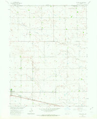 1962 Haxtun East1964 Print · USGSPhillips and Sedgwick Counties are captured here in the early sixties as rural agricultural life centered on the railroad. Genealogists and local historians can trace the original layout of Haxtun, locate the Fairfield Cem, and follow the Chicago Burlington and Quincy rail line.2 unique versions available
 - 1962 Map of Haxtun West, 1964 Print
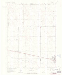 1962 Haxtun West1964 Print · USGSNortheastern Colorado in the early sixties centers on the rail-and-oil economy of Logan and Phillips counties. Genealogists and historians can locate family landmarks in Haxtun and Dailey, or trace the path of the Chicago Burlington and Quincy railroad.2 unique versions available
 - 1983 Map of Julesburg
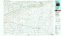 1983 Julesburg1983 Print · USGSNortheastern Colorado and the Nebraska borderlands are captured here in the early eighties, centered on the vital South Platte River valley. Researchers can trace the path of the Union Pacific through towns like Julesburg or explore the rural layout of Peetz Table.
 - 2010 Map of Haxtun East, 2010 Print
 2010 Haxtun East2010 Print · USGSCovers Haxtun, including Sedgwick County, Phillips County, and other nearby areas
 - 2010 Map of Haxtun West, 2010 Print
 2010 Haxtun West2010 Print · USGSCovers Haxtun, including Dailey, Logan County, and other nearby areas
 - 2013 Map of Haxtun East, 2013 Print
 2013 Haxtun East2013 Print · USGSCovers Haxtun, including Sedgwick County, Phillips County, and other nearby areas
 - 2013 Map of Haxtun West, 2013 Print
 2013 Haxtun West2013 Print · USGSCovers Haxtun, including Dailey, Logan County, and other nearby areas
 - 2016 Map of Haxtun East, 2016 Print
 2016 Haxtun East2016 Print · USGSCovers Haxtun, including Sedgwick County, Phillips County, and other nearby areas
 - 2016 Map of Haxtun West, 2016 Print
 2016 Haxtun West2016 Print · USGSCovers Haxtun, including Dailey, Logan County, and other nearby areas
 - 2019 Map of Haxtun West, 2019 Print
 2019 Haxtun West2019 Print · USGSCovers Haxtun, including Dailey, Logan County, and other nearby areas
 - 2019 Map of Haxtun East, 2019 Print
 2019 Haxtun East2019 Print · USGSCovers Haxtun, including Sedgwick County, Phillips County, and other nearby areas
 - 2022 Map of Haxtun East, 2022 Print
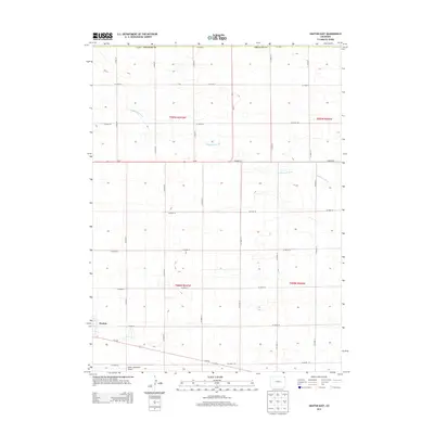
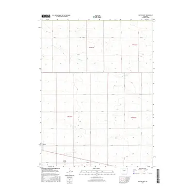
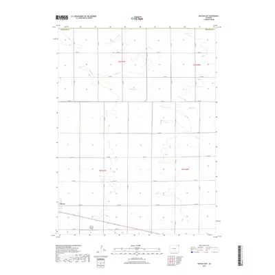
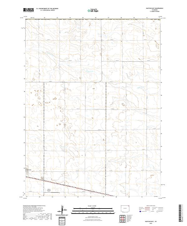 2022 Haxtun East2022 Print · USGSEastern Colorado's agricultural heartland is captured in this 2022 survey, showing the corner of Haxtun and its surrounding plains. Researchers can trace the area's infrastructure from the Haxtun Municipal Airport to the path of Wildhorse Cr.
 - 2022 Map of Haxtun West, 2022 Print
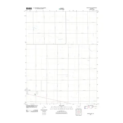
 2022 Haxtun West2022 Print · USGSHaxtun and the surrounding High Plains of Logan County are shown here in the 2020s. Researchers can locate the Haxtun Cem, the settlement of Dailey, and the intermittent flow of Wildhorse Cr across the agricultural sections.
End of results
Showing maps 1-15 of 15
Top cities near Haxtun
Frequently asked questions
- What are the different types of historical maps available for Haxtun?
- What is the oldest map of Haxtun?
- Where can I purchase historical maps of Haxtun for my home or office?
- Where can I download high-res historical maps of Haxtun?
- Are there historical topographic maps available for Haxtun?
- Is there historical aerial imagery available for Haxtun?
- Where are historical maps of Haxtun sourced from?