Old Maps of Meeker, Colorado for Academic Research
Study the evolution of Meeker with 23 high-resolution historic maps. Whether you're teaching, researching, or modeling changes in land use, these maps provide essential visual documentation of urban, environmental, and geographic change.
- Analyze long-term change: Track patterns in development, transportation, and natural features.
- Ideal for environmental or urban studies: Support academic projects with primary historical map data.
- Use in the classroom or lab: Educators and researchers rely on these maps to bring historical context to life.
These maps are a powerful tool for teaching, research, and visualizing how Meeker has changed over the decades.
Meeker, CO maps
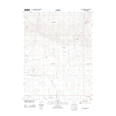
(23)- 1910 Map of Danforth Hills
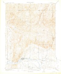
 1910 Danforth Hills1910 Print · USGSNorthwest Colorado is surveyed here in the early 1900s, showing a landscape defined by the rugged Danforth Hills and the early ranching outposts of Routt and Rio Blanco counties. Genealogists can locate family holdings like Edinger's Ranch and Maudlin's Ranch or trace the early post offices at Lay PO and Hamilton PO.
 - 1912 Map of Meeker, 1954 Print
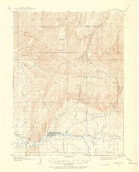 1912 Meeker1954 Print · USGSThe White River valley near Meeker comes alive in the early twentieth century, showing a landscape of pioneer ranching and early rural schooling. Researchers can locate family landmarks like the Uehlein Ranch and trace the footprints of the Powell Park School or Coal Creek School.2 unique versions available
 - 1914 Map of Meeker
 1914 Meeker1914 Print · USGSThe White River valley in northwestern Colorado appears here just before the First World War, when ranching and small rural schoolhouses defined the landscape. Researchers can trace early family homesteads like Valentine Ranch and James Ranch or locate the Powell Park School.
 - 1954 Map of Craig, 1973 Print
 1954 Craig1973 Print · USGSNorthwest Colorado and the high mountain parks are captured in the mid-fifties, showing the region's ranching, mining, and timber centers. Genealogists and historians can trace rail corridors like the Denver and Rio Grande Western and old towns such as Axial, Milner, and Coalmont.3 unique versions available
 - 1957 Map of Craig
 1957 Craig1957 Print · USGSNorthwest Colorado in the mid-fifties is a landscape of mountain ranching and rail-dependent river towns. Researchers can trace historic coal mining at the Sudduth Mine, follow the Denver and Rio Grande Western tracks, and locate vanished settlements like Pearl.
 - 1958 Map of Craig
 1958 Craig1958 Print · USGSNorthwest Colorado and the High Rockies are captured here in the mid-fifties, showing a landscape of burgeoning water projects and mountain ranching. Genealogists and historians can trace old homesteads and mountain outposts from Grand Lake to Meeker, alongside industrial landmarks like Uranium Mines and the Denver and Rio Grande Western railroad.
 - 1960 Map of Craig
 1960 Craig1960 Print · USGSNorthwest Colorado in the 1950s is a landscape of mountain summits and industrial growth at the headwaters of the West. Genealogists and historians can trace rail-town development along the Denver and Salt Lake line, while locating Uranium Mines and settlements like Craig, Meeker, and Steamboat Springs.
 - 1962 Map of Craig
 1962 Craig1962 Print · USGSNorthwest Colorado in the early sixties is a land of high-elevation ranching and remote river valleys. Genealogists and historians can trace the Denver and Rio Grande Western rail lines and locate early settlements like Hahns Peak, Meeker, and Juniper Springs.
 - 1964 Map of Craig
 1964 Craig1964 Print · USGSNorthwestern Colorado's high country is captured here during the mid-sixties, from the Yampa River valley to the high peaks of the Park Range. Local researchers can trace the Denver and Rio Grande Western rail line and locate Uranium Mines near Lay.
 - 1965 Map of Craig
 1965 Craig1965 Print · USGSNorthwest Colorado in the mid-sixties is defined by its massive river basins and high mountain ranges flanking the Continental Divide. Trace the routes of the Denver and Rio Grande Western through old settlements like McCoy and Kremmling.
 - 1966 Map of Meeker, 1969 Print
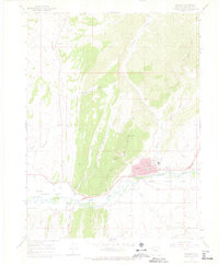 1966 Meeker1969 Print · USGSMeeker and the surrounding White River valley are captured in the mid-1960s, showing a landscape shaped by ranching, mining, and frontier history. Researchers can locate the Meeker Massacre (Historical Site), the Black Diamond Mine, and family-named landmarks like Strawberry Cem.2 unique versions available
 - 1966 Map of Rattlesnake Mesa, 1970 Print
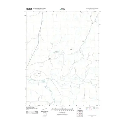
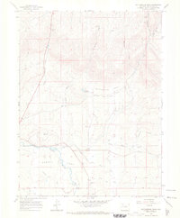 1966 Rattlesnake Mesa1970 Print · USGSRio Blanco County’s rugged river valley and high mesa terrain are captured here in the mid-1960s. Genealogists and historians can trace the irrigation networks of Agency Park and locate industrial sites like the Rienau Mine or the Mc Hatton Reservoir.
 - 1979 Map of Meeker
 1979 Meeker1979 Print · USGSNorthwestern Colorado in the late seventies reveals a landscape of high-country wilderness and expanding energy production. Researchers can trace the Denver and Rio Grande Western RR as it serves the Energy Mine and Coal View Mine, or locate the Thornburgh Historical Site and Meeker Cemetery.
 - 2010 Map of Rattlesnake Mesa, 2010 Print
 2010 Rattlesnake Mesa2010 Print · USGSCovers Meeker, including Rio Blanco County, United States, and other nearby areas
 - 2010 Map of Meeker, 2010 Print
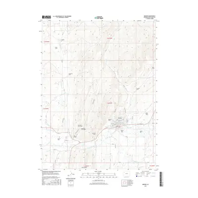
 2010 Meeker2010 Print · USGSCovers Meeker, including Rio Blanco County, United States, and other nearby areas
 - 2013 Map of Meeker, 2013 Print
 2013 Meeker2013 Print · USGSCovers Meeker, including Rio Blanco County, United States, and other nearby areas
 - 2013 Map of Rattlesnake Mesa, 2013 Print
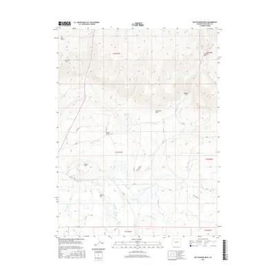
 2013 Rattlesnake Mesa2013 Print · USGSCovers Meeker, including Rio Blanco County, United States, and other nearby areas
 - 2016 Map of Meeker, 2016 Print
 2016 Meeker2016 Print · USGSCovers Meeker, including Rio Blanco County, United States, and other nearby areas
 - 2016 Map of Rattlesnake Mesa, 2016 Print
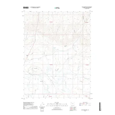
 2016 Rattlesnake Mesa2016 Print · USGSCovers Meeker, including Rio Blanco County, United States, and other nearby areas
 - 2019 Map of Rattlesnake Mesa, 2019 Print
 2019 Rattlesnake Mesa2019 Print · USGSCovers Meeker, including Rio Blanco County, United States, and other nearby areas
 - 2019 Map of Meeker, 2019 Print
 2019 Meeker2019 Print · USGSCovers Meeker, including Rio Blanco County, United States, and other nearby areas
 - 2022 Map of Rattlesnake Mesa, 2022 Print
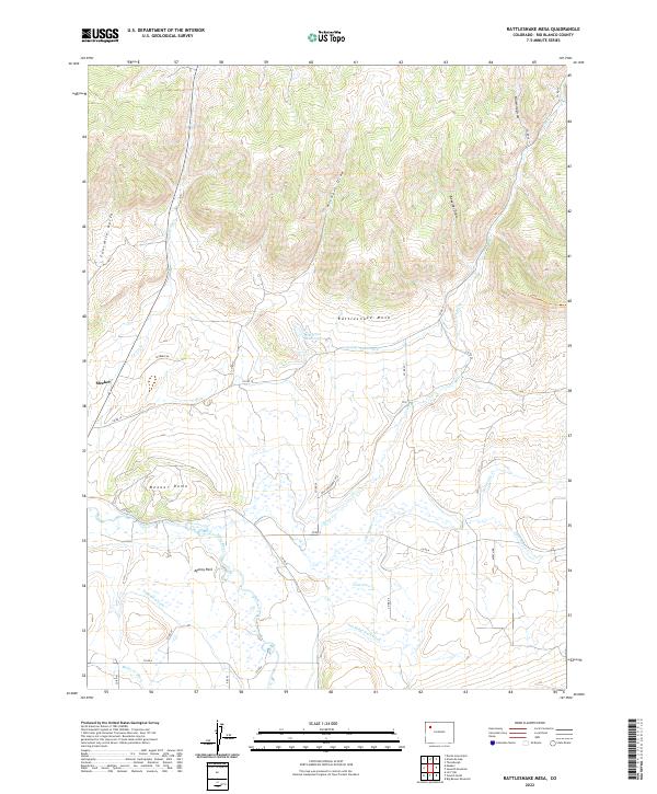 2022 Rattlesnake Mesa2022 Print · USGSThe valley surrounding Meeker and the White River is captured here in the early twenty-first century, highlighting the area's intricate irrigation history. Researchers can trace historic water rights and land use through the Highland Ditch, the notable Meeker Dome, and the riverside site of Agency Park.
 - 2022 Map of Meeker, 2022 Print
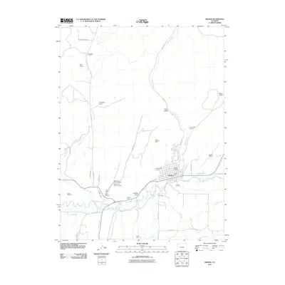
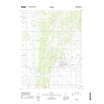
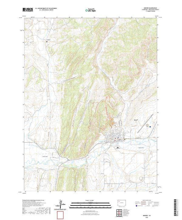 2022 Meeker2022 Print · USGSMeeker and the White River valley are captured here in the early twenty-first century, showing the intersection of ranching heritage and modern recreation. Trace local family history at Strawberry Creek Cem or explore the irrigation network of the Grand Hogback and Powell Park Ditch.
End of results
Showing maps 1-23 of 23
Frequently asked questions
- What are the different types of historical maps available for Meeker?
- What is the oldest map of Meeker?
- Where can I purchase historical maps of Meeker for my home or office?
- Where can I download high-res historical maps of Meeker?
- Are there historical topographic maps available for Meeker?
- Is there historical aerial imagery available for Meeker?
- Where are historical maps of Meeker sourced from?