2000s (21st Century) Maps of Baxterville, South Fork
Explore 6 historic maps of Baxterville from the 2000s (21st Century). These maps offer a rare glimpse into what life looked like during the 2000s — showing old roads, neighborhoods, homes, and landmarks that have changed or disappeared over time.
Whether you're researching your family's past, planning a metal detecting trip, or studying how Baxterville's landscape evolved across the 2000s, these high-resolution maps are a powerful tool for exploring the history of this region.
- Focus on a specific era: All maps on this page are from the 2000s, giving you a focused view of this time period.
- See what’s changed: Compare century-old streets, trails, and buildings to today's modern landscape using overlays and satellite layers.
- Research with precision: Use these maps for genealogy, historical research, land use analysis, or educational projects.
- View, download, or print: Maps are fully viewable online in high resolution, and can be downloaded or printed for your own records.
Start exploring Baxterville's history through authentic maps from the 2000s. This is your window into the past.
Baxterville, South Fork maps
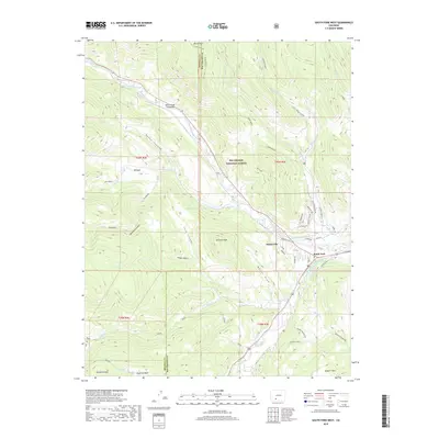
(6)- 2001 Map of South Fork West, 2005 Print
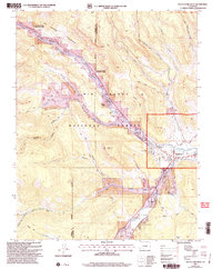 2001 South Fork West2005 Print · USGSThe confluence of the Rio Grande and its southern fork comes into sharp focus during the late twentieth century. Genealogists and local historians can trace the development of seasonal retreats like Alamo Summer Homes and Masonic Park alongside the vital Highline Ditch.
 - 2011 Map of South Fork West, 2011 Print
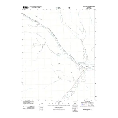 2011 South Fork West2011 Print · USGSCovers Baxterville, including South Fork, Mineral County, and other nearby areas
 - 2013 Map of South Fork West, 2013 Print
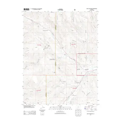 2013 South Fork West2013 Print · USGSCovers Baxterville, including South Fork, Mineral County, and other nearby areas
 - 2016 Map of South Fork West, 2016 Print
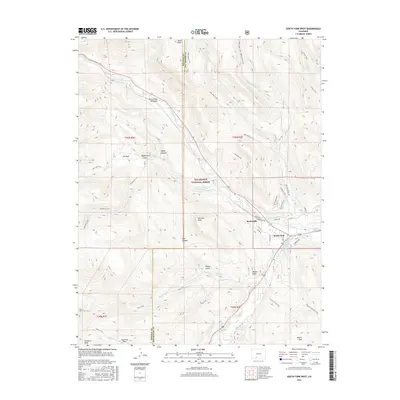 2016 South Fork West2016 Print · USGSCovers Baxterville, including South Fork, Mineral County, and other nearby areas
 - 2019 Map of South Fork West, 2019 Print
 2019 South Fork West2019 Print · USGSCovers Baxterville, including South Fork, Mineral County, and other nearby areas
 - 2022 Map of South Fork West, 2022 Print
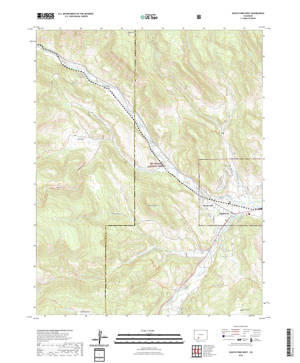 2022 South Fork West2022 Print · USGSSettled at the confluence of mountain waters, this Rio Grande region in the early 2020s shows a landscape of timbered peaks and vital irrigation. Researchers can trace the legacy of water rights and early settlements through the South Fork Highline Ditch, the community of Baxterville, and landmark trails like the Beaver Mountain Trl.
End of results
Showing maps 1-6 of 6
Top cities near Baxterville
Frequently asked questions
- What are the different types of historical maps available for Baxterville?
- What is the oldest map of Baxterville?
- Where can I purchase historical maps of Baxterville for my home or office?
- Where can I download high-res historical maps of Baxterville?
- Are there historical topographic maps available for Baxterville?
- Is there historical aerial imagery available for Baxterville?
- Where are historical maps of Baxterville sourced from?