Old Maps of Yampa, Colorado for Genealogy
Trace your family roots with 15 historic maps of Yampa. These high-res maps reveal old neighborhoods, homesites, landmarks, and streets — helping you uncover where your ancestors lived and how the area evolved over time.
- Explore historic neighborhoods: Identify where your relatives may have lived in the 1800s or 1900s.
- Compare maps over time: Trace the changes in streets, buildings, and landmarks for multi-generational research.
- Perfect for genealogy & ancestry research: Used by family historians and researchers to map out lineage and migration.
These maps are an incredible resource for exploring your personal connection to Yampa's past.
Yampa, CO maps
(15)- 1954 Map of Craig, 1973 Print
 1954 Craig1973 Print · USGSNorthwest Colorado and the high mountain parks are captured in the mid-fifties, showing the region's ranching, mining, and timber centers. Genealogists and historians can trace rail corridors like the Denver and Rio Grande Western and old towns such as Axial, Milner, and Coalmont.3 unique versions available
 - 1957 Map of Craig
 1957 Craig1957 Print · USGSNorthwest Colorado in the mid-fifties is a landscape of mountain ranching and rail-dependent river towns. Researchers can trace historic coal mining at the Sudduth Mine, follow the Denver and Rio Grande Western tracks, and locate vanished settlements like Pearl.
 - 1958 Map of Craig
 1958 Craig1958 Print · USGSNorthwest Colorado and the High Rockies are captured here in the mid-fifties, showing a landscape of burgeoning water projects and mountain ranching. Genealogists and historians can trace old homesteads and mountain outposts from Grand Lake to Meeker, alongside industrial landmarks like Uranium Mines and the Denver and Rio Grande Western railroad.
 - 1960 Map of Craig
 1960 Craig1960 Print · USGSNorthwest Colorado in the 1950s is a landscape of mountain summits and industrial growth at the headwaters of the West. Genealogists and historians can trace rail-town development along the Denver and Salt Lake line, while locating Uranium Mines and settlements like Craig, Meeker, and Steamboat Springs.
 - 1962 Map of Craig
 1962 Craig1962 Print · USGSNorthwest Colorado in the early sixties is a land of high-elevation ranching and remote river valleys. Genealogists and historians can trace the Denver and Rio Grande Western rail lines and locate early settlements like Hahns Peak, Meeker, and Juniper Springs.
 - 1964 Map of Craig
 1964 Craig1964 Print · USGSNorthwestern Colorado's high country is captured here during the mid-sixties, from the Yampa River valley to the high peaks of the Park Range. Local researchers can trace the Denver and Rio Grande Western rail line and locate Uranium Mines near Lay.
 - 1965 Map of Craig
 1965 Craig1965 Print · USGSNorthwest Colorado in the mid-sixties is defined by its massive river basins and high mountain ranges flanking the Continental Divide. Trace the routes of the Denver and Rio Grande Western through old settlements like McCoy and Kremmling.
 - 1972 Map of Yampa, 1975 Print
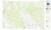
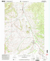
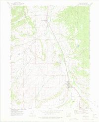 1972 Yampa1975 Print · USGSThe Upper Yampa Valley in the early seventies shows a landscape shaped by the Denver and Rio Grande Western railroad and ranching. Trace local history through the Yampa Cem, the settlement of Phippsburg, and family landmarks like Devil's Grave Mesa.2 unique versions available
 - 1980 Map of Steamboat Springs, 1982 Print
 1980 Steamboat Springs1982 Print · USGSNorthwest Colorado's ranching and rail corridors come to life in the early eighties as mountain recreation and resource management began to reshape the region. Researchers can trace the Denver and Rio Grande Western line through Oak Creek or locate local landmarks like Old Homestead and Egeria Park.
 - 2000 Map of Yampa, 2004 Print
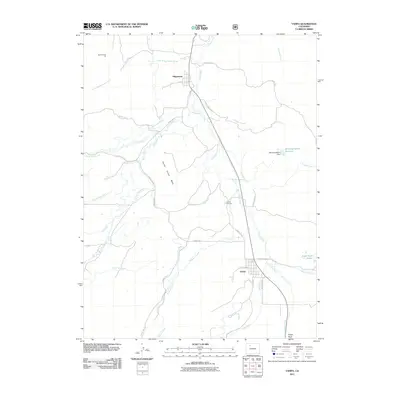
 2000 Yampa2004 Print · USGSYampa and Phippsburg are captured at the turn of the century, showing a mix of mountain ranching, rail history, and forest management. Genealogists and researchers can locate landmarks such as the Yampa Ranger Sta, old Strip Mines, and the distinct formation of Finger Rock.
 - 2011 Map of Yampa, 2011 Print
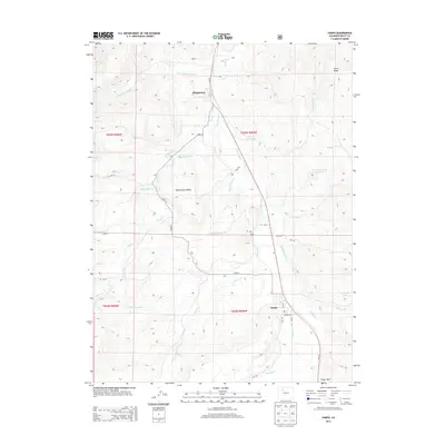
 2011 Yampa2011 Print · USGSCovers Yampa, including Phippsburg, Routt County, and other nearby areas
 - 2013 Map of Yampa, 2013 Print
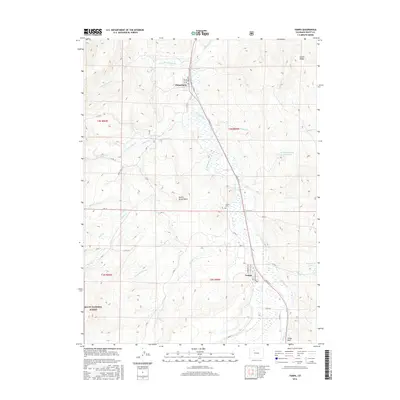
 2013 Yampa2013 Print · USGSCovers Yampa, including Phippsburg, Routt County, and other nearby areas
 - 2016 Map of Yampa, 2016 Print
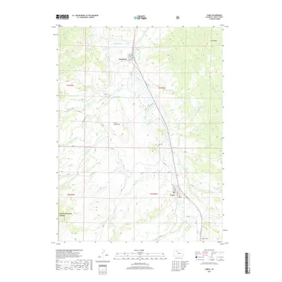
 2016 Yampa2016 Print · USGSCovers Yampa, including Phippsburg, Routt County, and other nearby areas
 - 2019 Map of Yampa, 2019 Print
 2019 Yampa2019 Print · USGSCovers Yampa, including Phippsburg, Routt County, and other nearby areas
 - 2022 Map of Yampa, 2022 Print
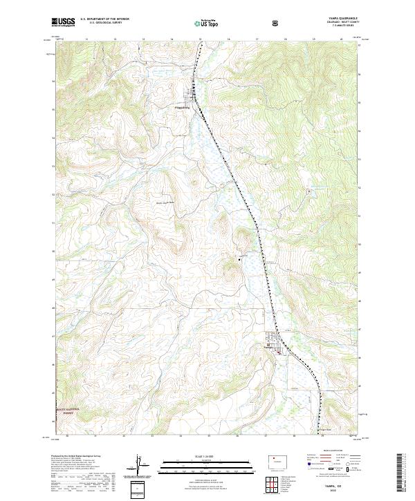 2022 Yampa2022 Print · USGSRoutt County mountain life is centered around Yampa and Phippsburg in this contemporary record of the valley. Researchers can trace irrigation networks like Palisades Ditch or locate family markers at the Yampa Cem and local landmarks like Finger Rock.
End of results
Showing maps 1-15 of 15
Top cities near Yampa
Frequently asked questions
- What are the different types of historical maps available for Yampa?
- What is the oldest map of Yampa?
- Where can I purchase historical maps of Yampa for my home or office?
- Where can I download high-res historical maps of Yampa?
- Are there historical topographic maps available for Yampa?
- Is there historical aerial imagery available for Yampa?
- Where are historical maps of Yampa sourced from?