2000s (21st Century) Maps of Middleton, Colorado
Explore 6 historic maps of Middleton from the 2000s (21st Century). These maps offer a rare glimpse into what life looked like during the 2000s — showing old roads, neighborhoods, homes, and landmarks that have changed or disappeared over time.
Whether you're researching your family's past, planning a metal detecting trip, or studying how Middleton's landscape evolved across the 2000s, these high-resolution maps are a powerful tool for exploring the history of this region.
- Focus on a specific era: All maps on this page are from the 2000s, giving you a focused view of this time period.
- See what’s changed: Compare century-old streets, trails, and buildings to today's modern landscape using overlays and satellite layers.
- Research with precision: Use these maps for genealogy, historical research, land use analysis, or educational projects.
- View, download, or print: Maps are fully viewable online in high resolution, and can be downloaded or printed for your own records.
Start exploring Middleton's history through authentic maps from the 2000s. This is your window into the past.
Middleton, CO maps
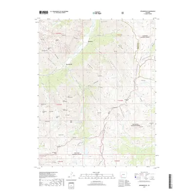
(6)- 2001 Map of Howardsville, 2005 Print
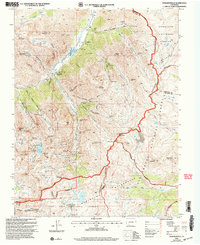 2001 Howardsville2005 Print · USGSThe high San Juan Mountains are shown here at the turn of the millennium, documenting a landscape where historic mining claims meet federal wilderness. Researchers can trace the legacy of the silver boom through numerous sites like the Old Hundred Mine, Howardsville Cem, and the Pride of the West Mill.
 - 2011 Map of Howardsville, 2011 Print
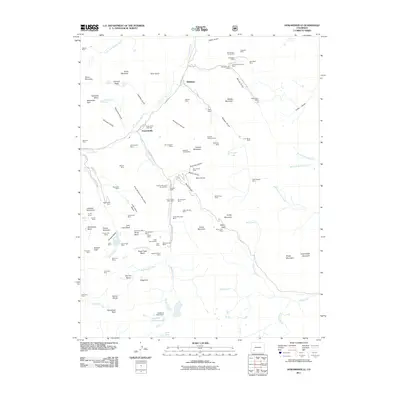 2011 Howardsville2011 Print · USGSCovers Middleton, including Howardsville, San Juan County, and other nearby areas
 - 2013 Map of Howardsville, 2013 Print
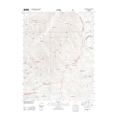 2013 Howardsville2013 Print · USGSCovers Middleton, including Howardsville, San Juan County, and other nearby areas
 - 2016 Map of Howardsville, 2016 Print
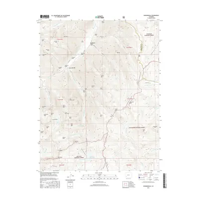 2016 Howardsville2016 Print · USGSCovers Middleton, including Howardsville, San Juan County, and other nearby areas
 - 2019 Map of Howardsville, 2019 Print
 2019 Howardsville2019 Print · USGSCovers Middleton, including Howardsville, San Juan County, and other nearby areas
 - 2022 Map of Howardsville, 2022 Print
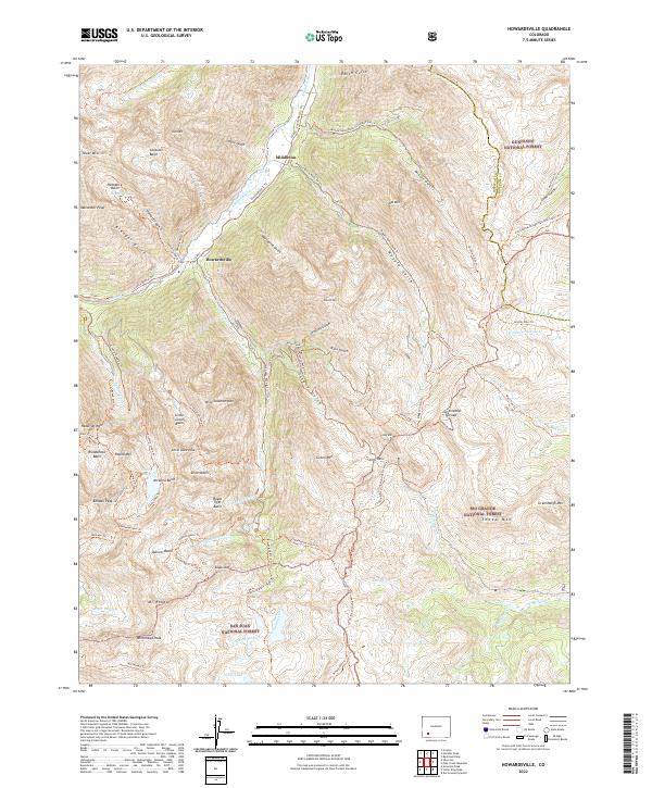 2022 Howardsville2022 Print · USGSThe high San Juan peaks and headwaters of the Animas River are mapped here in the modern era. Local history researchers can trace the old road networks through Howardsville and Middleton or locate remote alpine landmarks like Silver Lake and Stony Pass.
End of results
Showing maps 1-6 of 6
Top cities near Middleton
Frequently asked questions
- What are the different types of historical maps available for Middleton?
- What is the oldest map of Middleton?
- Where can I purchase historical maps of Middleton for my home or office?
- Where can I download high-res historical maps of Middleton?
- Are there historical topographic maps available for Middleton?
- Is there historical aerial imagery available for Middleton?
- Where are historical maps of Middleton sourced from?