Old Maps of Akron, Colorado for Genealogy
Trace your family roots with 9 historic maps of Akron. These high-res maps reveal old neighborhoods, homesites, landmarks, and streets — helping you uncover where your ancestors lived and how the area evolved over time.
- Explore historic neighborhoods: Identify where your relatives may have lived in the 1800s or 1900s.
- Compare maps over time: Trace the changes in streets, buildings, and landmarks for multi-generational research.
- Perfect for genealogy & ancestry research: Used by family historians and researchers to map out lineage and migration.
These maps are an incredible resource for exploring your personal connection to Akron's past.
Akron, CO maps
(9)- 1954 Map of Sterling
 1954 Sterling1954 Print · USGSNortheastern Colorado and the Nebraska borderlands are defined by the river-and-rail corridors of the mid-twentieth century. Researchers can trace the development of agricultural hubs from Sterling and Fort Morgan to smaller rail stops along the Union Pacific and Burlington Northern lines.3 unique versions available
 - 1958 Map of Sterling
 1958 Sterling1958 Print · USGSNortheastern Colorado thrived along the river and rail corridors during the late fifties. Genealogists and historians can trace family-named irrigation works like Davis Brothers Ditch and agricultural hubs from Peetz to Fort Morgan.
 - 1973 Map of Akron, 1976 Print
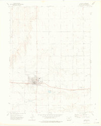 1973 Akron1976 Print · USGSAkron flourished as a railroad and oil hub on the High Plains during the early seventies. Genealogists and local historians can trace the town's development through the County Fairground, local Cemetery, and the sprawling East Akron Oil Field.2 unique versions available
 - 1980 Map of Fort Morgan
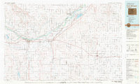 1980 Fort Morgan1980 Print · USGSNortheastern Colorado’s agricultural heartland is documented here in the early eighties, centered on the South Platte River corridor. Researchers can trace the progress of the Union Pacific and Burlington Northern railroads through ranching hubs like Brush, Akron, and Hillrose.
 - 2010 Map of Akron, 2010 Print
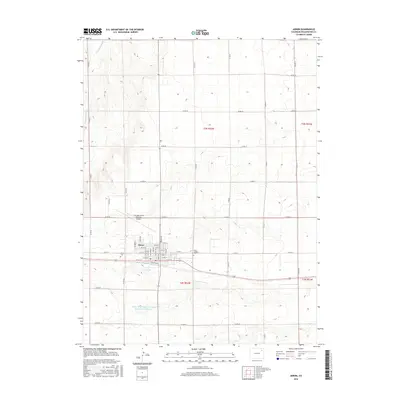
 2010 Akron2010 Print · USGSCovers Akron, including Washington County, United States, and other nearby areas
 - 2013 Map of Akron, 2013 Print
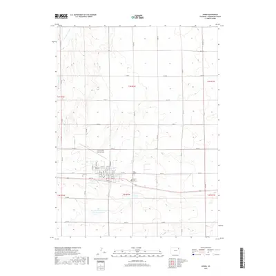
 2013 Akron2013 Print · USGSCovers Akron, including Washington County, United States, and other nearby areas
 - 2016 Map of Akron, 2016 Print
 2016 Akron2016 Print · USGSCovers Akron, including Washington County, United States, and other nearby areas
 - 2019 Map of Akron, 2019 Print
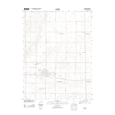
 2019 Akron2019 Print · USGSCovers Akron, including Washington County, United States, and other nearby areas
 - 2022 Map of Akron, 2022 Print
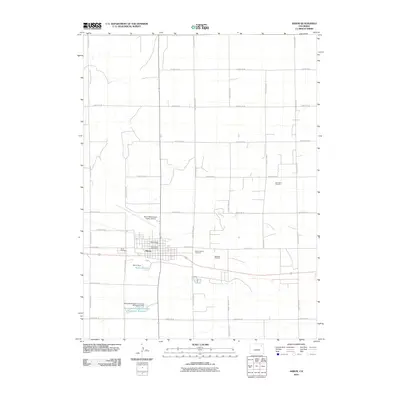
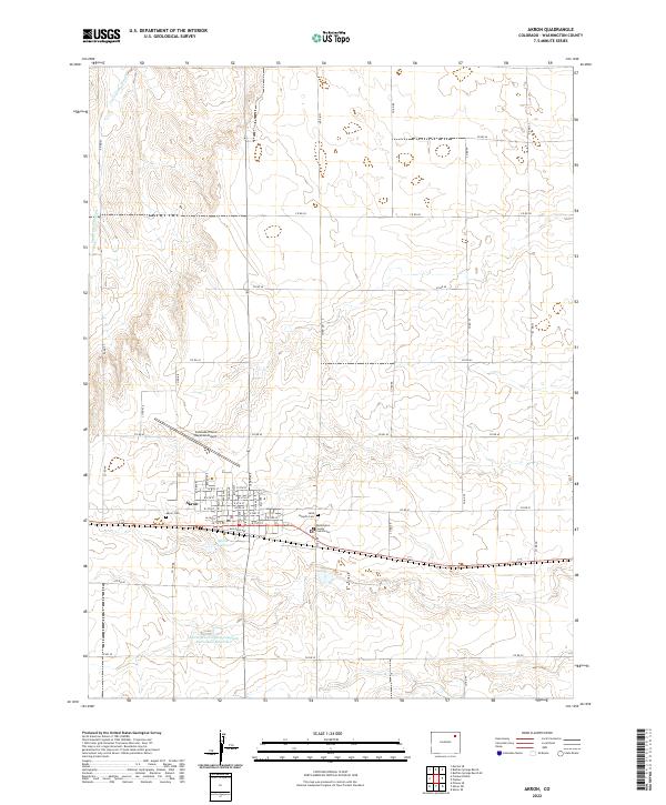 2022 Akron2022 Print · USGSAkron and its surrounding high-plains landscape are shown in detail during the early twenty-first century, centered on its role as a county seat and rail town. Genealogists and researchers can trace the town's street grid, cemetery locations like Saint Joseph's Cem, and landmarks including the Washington County Courthouse.
End of results
Showing maps 1-9 of 9
Frequently asked questions
- What are the different types of historical maps available for Akron?
- What is the oldest map of Akron?
- Where can I purchase historical maps of Akron for my home or office?
- Where can I download high-res historical maps of Akron?
- Are there historical topographic maps available for Akron?
- Is there historical aerial imagery available for Akron?
- Where are historical maps of Akron sourced from?