Old Maps of Arickaree, Colorado for Academic Research
Study the evolution of Arickaree with 10 high-resolution historic maps. Whether you're teaching, researching, or modeling changes in land use, these maps provide essential visual documentation of urban, environmental, and geographic change.
- Analyze long-term change: Track patterns in development, transportation, and natural features.
- Ideal for environmental or urban studies: Support academic projects with primary historical map data.
- Use in the classroom or lab: Educators and researchers rely on these maps to bring historical context to life.
These maps are a powerful tool for teaching, research, and visualizing how Arickaree has changed over the decades.
Arickaree, CO maps
(10)- 1954 Map of Limon
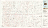
 1954 Limon1954 Print · USGSThe Eastern Colorado plains and the Kansas borderlands come alive in the mid-fifties, showing the vital rail-and-road corridor through Limon. Genealogists and historians can trace the Chicago Rock Island & Pacific line through Burlington and find remote outposts like Arickaree and Anton.4 unique versions available
 - 1957 Map of Limon
 1957 Limon1957 Print · USGSThe High Plains of Eastern Colorado and Western Kansas come alive in the mid-1950s, showing the vital rail-and-road connections of the era. You can trace the path of the Chicago Rock Island and Pacific through towns like Limon, Stratton, and Burlington or find the early footprint of Bonny Reservoir.
 - 1958 Map of Limon
 1958 Limon1958 Print · USGSEastern Colorado and the Kansas border meet in this late-fifties study of High Plains rail and river systems. Researchers can trace the path of the Chicago Rock Island and Pacific through Limon and Burlington, or locate the Bonny Dam and Bonny Reservoir.
 - 1977 Map of Arickaree, 1978 Print
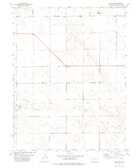 1977 Arickaree1978 Print · USGSEastern Colorado land patterns are captured here in the late seventies, showing a rural landscape defined by section roads and seasonal water. Genealogists and local historians can locate Arickaree, the Arickaree Sch, and landmarks like Payne Hill.
 - 1983 Map of Last Chance
 1983 Last Chance1983 Print · USGSThe high plains of Washington and Arapahoe counties in the early eighties were a network of isolated crossroads and essential watercourses. Genealogists and local historians can trace the foundations of rural life near Last Chance, Woodrow, and the valley of Arickaree Creek.
 - 2010 Map of Arickaree, 2010 Print
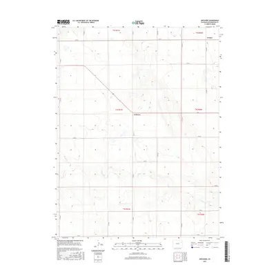
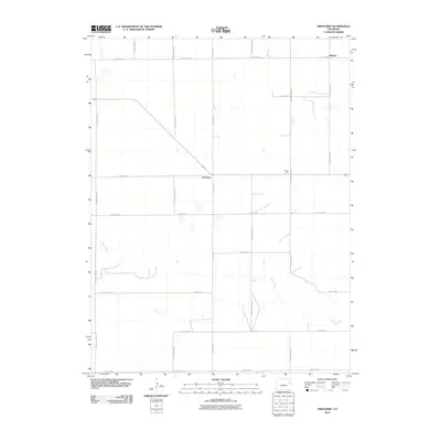 2010 Arickaree2010 Print · USGSCovers Arickaree, including Wiladel, Washington County, and other nearby areas
 - 2013 Map of Arickaree, 2013 Print
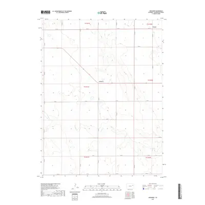
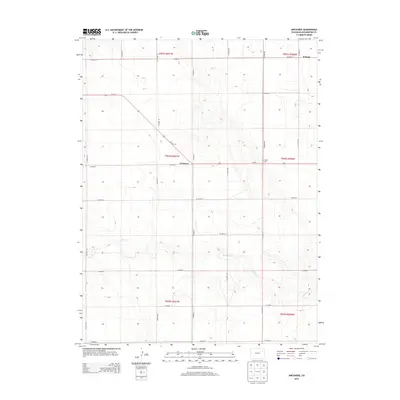 2013 Arickaree2013 Print · USGSCovers Arickaree, including Wiladel, Washington County, and other nearby areas
 - 2016 Map of Arickaree, 2016 Print
 2016 Arickaree2016 Print · USGSCovers Arickaree, including Wiladel, Washington County, and other nearby areas
 - 2019 Map of Arickaree, 2019 Print
 2019 Arickaree2019 Print · USGSCovers Arickaree, including Wiladel, Washington County, and other nearby areas
 - 2022 Map of Arickaree, 2022 Print
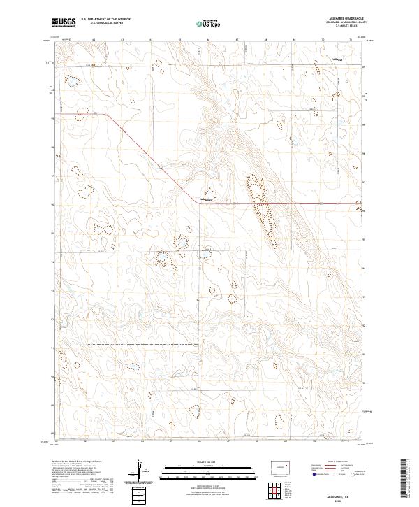 2022 Arickaree2022 Print · USGSEastern Colorado ranching country in Washington County is captured here in the early twenty-first century. Genealogists and local historians can trace the sparse settlement at Wiladel and the course of Gordon Cr across the prairie.
End of results
Showing maps 1-10 of 10
Frequently asked questions
- What are the different types of historical maps available for Arickaree?
- What is the oldest map of Arickaree?
- Where can I purchase historical maps of Arickaree for my home or office?
- Where can I download high-res historical maps of Arickaree?
- Are there historical topographic maps available for Arickaree?
- Is there historical aerial imagery available for Arickaree?
- Where are historical maps of Arickaree sourced from?