Old Maps of Barnesville, Colorado for Hiking & Exploration
Hike through history with 13 historic maps of Barnesville. Explore old trails, ghost towns, and forgotten backroads — perfect for outdoor adventurers and local explorers.
- Rediscover forgotten places: Map out old mining camps, roads, and footpaths that no longer exist on modern maps.
- Layer with modern tools: Combine with LiDAR or satellite views to plan hikes through historical terrain.
- Made for exploration: Popular among hikers, overlanders, and local history lovers.
Use these maps to find adventure and explore the hidden past of Barnesville.
Barnesville, CO maps
(13)- 1950 Map of Barnesville, 1952 Print
 1950 Barnesville1952 Print · USGSWeld County ranching and irrigation systems are captured here during the mid-century, following the development of the Missouri River Basin. Genealogists can locate the Cem (First Permanent Settlers in Weld Co 1840) and trace old rail stops like Barnesville Station.5 unique versions available
 - 1954 Map of Greeley, 1966 Print
 1954 Greeley1966 Print · USGSNorthern Colorado transitions from high-alpine peaks to the irrigated South Platte valley during this mid-century period of growth. Genealogists and historians can trace rail-connected hubs like Greeley and Longmont alongside landmarks like Horsetooth Reservoir and Estes Park.3 unique versions available
 - 1957 Map of Greeley
 1957 Greeley1957 Print · USGSNorthern Colorado in the mid-fifties is captured here as the agricultural plains of Weld County meet the high peaks of the Front Range. Genealogists and historians can trace rail-linked towns like Keenesburg and Roggen or locate early water features such as Boyd Lake and Fossil Creek Reservoir.
 - 1958 Map of Greeley
 1958 Greeley1958 Print · USGSNorthern Colorado and the high peaks of the Front Range appear here in the mid-fifties as the region's agricultural and rail networks were fully established. Genealogists can locate family homes near Virginia Dale, Waverly, or Kuner, and trace the path of the Union Pacific Railroad through Greeley.
 - 1961 Map of Greeley
 1961 Greeley1961 Print · USGSNorthern Colorado's transition from high mountain peaks to irrigated plains is captured here just as the post-war population boom reached the Front Range. Researchers can trace early water infrastructure and rail lines like the Great Western RR connecting sugar beet hubs from Fort Collins to Greeley.
 - 1964 Map of Greeley
 1964 Greeley1964 Print · USGSThe Front Range corridor and high peaks of the Rockies appear here in the mid-1960s, showing the intersection of mountain wilderness and plains agriculture. Trace the rail routes of the Great Western RR or locate landmarks like Longs Peak and Horsetooth Reservoir.
 - 1965 Map of Greeley
 1965 Greeley1965 Print · USGSNorthern Colorado in the mid-sixties shows a landscape defined by high mountain summits and the growing irrigation networks of the plains. Genealogists and historians can trace rail-side towns like Wellington or follow the early tracks of the Union Pacific Railroad past Longs Peak.
 - 1982 Map of Greeley, 1983 Print
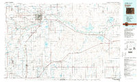 1982 Greeley1983 Print · USGSNorth-central Colorado is shown in the early eighties as a thriving hub of river-valley agriculture and energy production. Researchers can trace the water-rights history and rail networks connecting Greeley to the Spindle Oil Field and Fort Lupton.
 - 2010 Map of Barnesville, 2010 Print
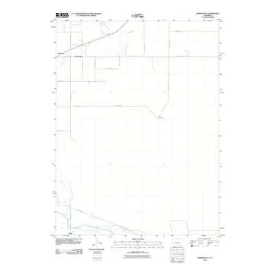 2010 Barnesville2010 Print · USGSWeld County’s agricultural heartland is documented here at the start of the 2010s, showing a landscape shaped by vital irrigation networks. Genealogists and local historians can trace rural property lines near Matthews, Barnesville, and the Wells Cow Camp.
 - 2013 Map of Barnesville, 2013 Print
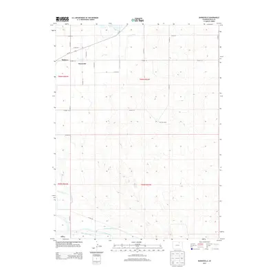 2013 Barnesville2013 Print · USGSWeld County ranching and farming communities come into focus in the early 2010s, defined by the irrigation networks of the South Platte Valley. Trace the heritage of rural settlements like Barnesville and Kuner or the historic water routes of Crow Creek and Greeley Number 2 Canal.
 - 2016 Map of Barnesville, 2016 Print
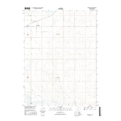 2016 Barnesville2016 Print · USGSAgricultural life in Weld County comes into focus in this modern topographic study of the South Platte River valley. Researchers can trace the path of the South Platte River and find local landmarks like Gerry Cem, Matthews, and Barnesville.
 - 2019 Map of Barnesville, 2019 Print
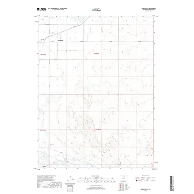 2019 Barnesville2019 Print · USGSWeld County’s agricultural heartland is captured here in the late twenty-teens, showing the intricate irrigation systems and small settlements of the high plains. Genealogists and local historians can locate Gerry Cem and trace the paths of Matthews, Barnesville, and the South Platte River.
 - 2022 Map of Barnesville, 2022 Print
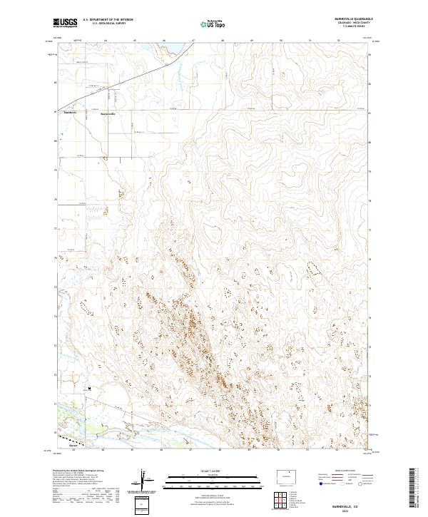 2022 Barnesville2022 Print · USGSSettlement and irrigation meet along the river in this late-period survey of Weld County. Researchers can trace the local water network through the Greeley-Number 2 Canal and Riverside Intake Canal, or locate the historic Gerry Cem near the town of Barnesville.
End of results
Showing maps 1-13 of 13
Top cities near Barnesville
- Greeley historical maps
- Evans historical maps
- Eaton historical maps
- La Salle historical maps
- Kersey historical maps
- Garden City historical maps
Frequently asked questions
- What are the different types of historical maps available for Barnesville?
- What is the oldest map of Barnesville?
- Where can I purchase historical maps of Barnesville for my home or office?
- Where can I download high-res historical maps of Barnesville?
- Are there historical topographic maps available for Barnesville?
- Is there historical aerial imagery available for Barnesville?
- Where are historical maps of Barnesville sourced from?