
1950 Map of Barnesville
USGS Topo · Published 1952About this map
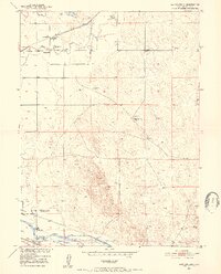
Cem (First Permanent Settlers in Weld Co 1840) serves as a primary historical landmark in this corner of Colorado, anchoring the local heritage to the early nineteenth-century pioneers. The landscape is defined by the critical management of water near the South Platte River, where an intricate system of irrigation includes the Riverside Intake Canal, Empire Intake Canal, and the North Side Lateral. These engineering efforts supported the agricultural settlements and rail-dependent communities that grew along the Union Pacific line.
Find a feature on this map
18 named features on this map. Tap any name to fly to it.
Don’t see what you’re looking for? This feature index may not catch every label — zoom into the map to look around manually.
Map Details
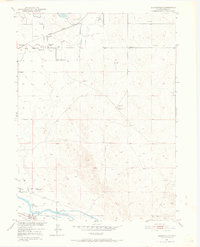
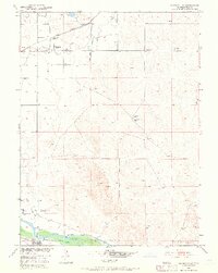
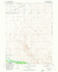
Editions of this 1950 Barnesville Map
5 editions found
Other maps of this area

1902 · Greeley
USGS Topo · 1:125,000

1908 · Eaton
USGS Topo · 1:125,000

1910 · Eaton
USGS Topo · 1:125,000

1950 · Kersey
USGS Topo · 1:24,000

1950 · Valley View School
USGS Topo · 1:24,000

1950 · Hardin
USGS Topo · 1:24,000

1951 · Hardin
USGS Topo · 1:24,000
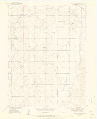
1951 · Valley View School
USGS Topo · 1:24,000

1951 · Point Of Rocks
USGS Topo · 1:24,000
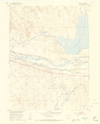
1951 · Dearfield
USGS Topo · 1:24,000