
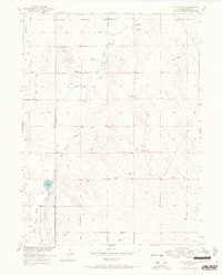
1951 Map of Valley View School
USGS Topo · Published 1951About this map
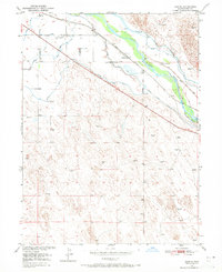
Coal mining operations define the industrial character of this Weld County landscape as it appeared in the mid-twentieth century. A cluster of named extraction sites, including the Christenson Mine, White Ash Mine, and the Buddy Mine, are situated in the western portion of the quadrangle. While some sites like the Casselman Mine are noted as inactive, the density of these locations, alongside the Diamond Mines, points to a significant period of resource extraction within this prairie terrain.
Find a feature on this map
17 named features on this map. Tap any name to fly to it.
Don’t see what you’re looking for? This feature index may not catch every label — zoom into the map to look around manually.
Map Details
Editions of this 1951 Valley View School Map
This is the sole edition of this map. No revisions or reprints were ever made.
Other maps of this area

1902 · Greeley
USGS Topo · 1:125,000
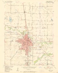
1950 · Greeley
USGS Topo · 1:24,000
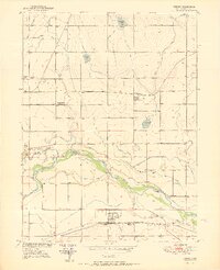
1950 · Kersey
USGS Topo · 1:24,000
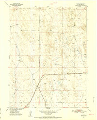
1950 · Tampa
USGS Topo · 1:24,000

1950 · Barnesville
USGS Topo · 1:24,000
1950 · Klug Ranch
USGS Topo · 1:24,000
1950 · Valley View School
USGS Topo · 1:24,000
1950 · Hardin
USGS Topo · 1:24,000
1950 · Milton Reservoir
USGS Topo · 1:24,000
1950 · La Salle
USGS Topo · 1:24,000