2000s (21st Century) Maps of Capitol Planning Region, Connecticut
Explore 168 historic maps of Capitol Planning Region from the 2000s (21st Century). These maps offer a rare glimpse into what life looked like during the 2000s — showing old roads, neighborhoods, homes, and landmarks that have changed or disappeared over time.
Whether you're researching your family's past, planning a metal detecting trip, or studying how Capitol Planning Region's landscape evolved across the 2000s, these high-resolution maps are a powerful tool for exploring the history of this region.
- Focus on a specific era: All maps on this page are from the 2000s, giving you a focused view of this time period.
- See what’s changed: Compare century-old streets, trails, and buildings to today's modern landscape using overlays and satellite layers.
- Research with precision: Use these maps for genealogy, historical research, land use analysis, or educational projects.
- View, download, or print: Maps are fully viewable online in high resolution, and can be downloaded or printed for your own records.
Start exploring Capitol Planning Region's history through authentic maps from the 2000s. This is your window into the past.
Capitol Planning Region, CT maps
(168)- 2012 Map of Columbia, 2012 Print
 2012 Columbia2012 Print · USGSCovers Capitol Planning Region, including Mansfield, Windham, and other nearby areas
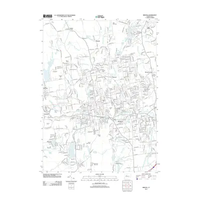
 - 2012 Map of Moodus, 2012 Print
 2012 Moodus2012 Print · USGSCovers Capitol Planning Region, including Colchester, East Hampton, and other nearby areas
 - 2012 Map of Collinsville, 2012 Print
 2012 Collinsville2012 Print · USGSCovers Capitol Planning Region, including Farmington, Simsbury, and other nearby areas
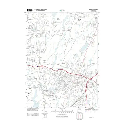
 - 2012 Map of Southington, 2012 Print
 2012 Southington2012 Print · USGSCovers Capitol Planning Region, including Waterbury, Southington, and other nearby areas
 - 2012 Map of Rockville, 2012 Print
 2012 Rockville2012 Print · USGSCovers Capitol Planning Region, including Manchester, Vernon, and other nearby areas
 - 2012 Map of Bristol, 2012 Print
 2012 Bristol2012 Print · USGSCovers Capitol Planning Region, including Bristol, Southington, and other nearby areas
 - 2012 Map of Meriden, 2012 Print
 2012 Meriden2012 Print · USGSCovers Capitol Planning Region, including Meriden, Middletown, and other nearby areas
 - 2012 Map of Colchester, 2012 Print
 2012 Colchester2012 Print · USGSCovers Capitol Planning Region, including Colchester, Hebron, and other nearby areas
 - 2012 Map of Westford, 2012 Print
 2012 Westford2012 Print · USGSCovers Capitol Planning Region, including Stafford, Willington, and other nearby areas
 - 2012 Map of Hartford North, 2012 Print
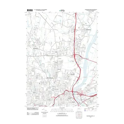 2012 Hartford North2012 Print · USGSCovers Capitol Planning Region, including Hartford, West Hartford, and other nearby areas
 - 2012 Map of Ellington, 2012 Print
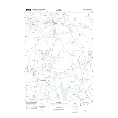 2012 Ellington2012 Print · USGSCovers Capitol Planning Region, including Enfield, Tolland, and other nearby areas
 - 2012 Map of New Hartford, 2012 Print
 2012 New Hartford2012 Print · USGSCovers Capitol Planning Region, including Simsbury, Granby, and other nearby areas
 - 2012 Map of Spring Hill, 2012 Print
 2012 Spring Hill2012 Print · USGSCovers Capitol Planning Region, including Mansfield, Windham, and other nearby areas
 - 2012 Map of Glastonbury, 2012 Print
 2012 Glastonbury2012 Print · USGSCovers Capitol Planning Region, including Manchester, East Hartford, and other nearby areas
 - 2012 Map of Windsor Locks, 2012 Print
 2012 Windsor Locks2012 Print · USGSCovers Capitol Planning Region, including Windsor, Bloomfield, and other nearby areas
 - 2012 Map of New Britain, 2012 Print
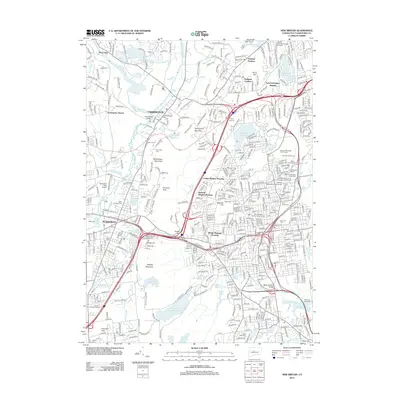 2012 New Britain2012 Print · USGSCovers Capitol Planning Region, including New Britain, West Hartford, and other nearby areas
 - 2012 Map of Middletown, 2012 Print
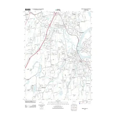 2012 Middletown2012 Print · USGSCovers Capitol Planning Region, including Meriden, Middletown, and other nearby areas
 - 2012 Map of Stafford Springs, 2012 Print
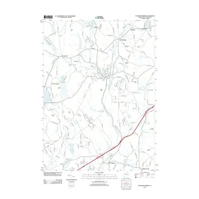 2012 Stafford Springs2012 Print · USGSCovers Capitol Planning Region, including Tolland, Ellington, and other nearby areas
 - 2012 Map of Avon, 2012 Print
 2012 Avon2012 Print · USGSCovers Capitol Planning Region, including West Hartford, Farmington, and other nearby areas
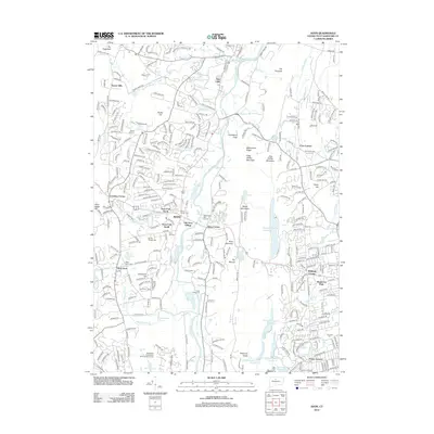
 - 2012 Map of Marlborough, 2012 Print
 2012 Marlborough2012 Print · USGSCovers Capitol Planning Region, including Manchester, Glastonbury, and other nearby areas
 - 2012 Map of Coventry, 2012 Print
 2012 Coventry2012 Print · USGSCovers Capitol Planning Region, including Mansfield, Tolland, and other nearby areas
 - 2012 Map of Hampden, 2012 Print
 2012 Hampden2012 Print · USGSCovers Capitol Planning Region, including Springfield, East Longmeadow, and other nearby areas
 - 2012 Map of West Springfield, 2012 Print
 2012 West Springfield2012 Print · USGSCovers Capitol Planning Region, including Westfield, Agawam, and other nearby areas
 - 2012 Map of Southwick, 2012 Print
 2012 Southwick2012 Print · USGSCovers Capitol Planning Region, including Westfield, Suffield, and other nearby areas
 - 2012 Map of Tariffville, 2012 Print
 2012 Tariffville2012 Print · USGSCovers Capitol Planning Region, including Simsbury, Bloomfield, and other nearby areas
Showing maps 1-25 of 168
Top cities of Capitol Planning Region
- Hartford historical maps
- New Britain historical maps
- West Hartford historical maps
- Manchester historical maps
- East Hartford historical maps
- Enfield historical maps
See more
Frequently asked questions
- What are the different types of historical maps available for Capitol Planning Region?
- What is the oldest map of Capitol Planning Region?
- Where can I purchase historical maps of Capitol Planning Region for my home or office?
- Where can I download high-res historical maps of Capitol Planning Region?
- Are there historical topographic maps available for Capitol Planning Region?
- Is there historical aerial imagery available for Capitol Planning Region?
- Where are historical maps of Capitol Planning Region sourced from?