Old Maps of Windsor Locks, Connecticut for Hiking & Exploration
Hike through history with 27 historic maps of Windsor Locks. Explore old trails, ghost towns, and forgotten backroads — perfect for outdoor adventurers and local explorers.
- Rediscover forgotten places: Map out old mining camps, roads, and footpaths that no longer exist on modern maps.
- Layer with modern tools: Combine with LiDAR or satellite views to plan hikes through historical terrain.
- Made for exploration: Popular among hikers, overlanders, and local history lovers.
Use these maps to find adventure and explore the hidden past of Windsor Locks.
Windsor Locks, CT maps
(27)- 1892 Map of Hartford
 1892 Hartford1892 Print · USGSGreater Hartford in the early 1890s is captured here as a bustling corridor of river commerce and expanding rail lines. Researchers can trace the ancestral locations of Warehouse Point, locate the historic Bissel Ferry, and follow the old Hartford Division tracks.8 unique versions available
 - 1906 Map of Farmington
 1906 Farmington1906 Print · USGSCentral Connecticut at the turn of the century is a landscape of river-powered industry and rail-connected towns. Researchers can trace historic river crossings like Bissell Ferry and explore early village centers including Collinsville, Satans Kingdom, and Pine Meadow.2 unique versions available
 - 1928 Map of Windsor Locks
 1928 Windsor Locks1928 Print · USGSThe northern Connecticut River Valley is captured here in the late 1920s during a period of industrial and agricultural prosperity. Researchers can trace the path of the New York New Haven and Hartford railroad through Windsor Locks and Poquonock.
 - 1928 Map of Broad Brook
 1928 Broad Brook1928 Print · USGSNorthern Connecticut’s river valley and fertile uplands are preserved here as they appeared in the late twenties. Genealogists and local historians can trace family-named hubs like Sadd's Mills and Osborne or locate old crossings at Warehouse Point.
 - 1944 Map of Broad Brook
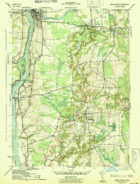 1944 Broad Brook1944 Print · USGSHartford County during the mid-century shows a landscape of busy riverfront towns and quiet inland mill villages. Genealogists and historians can trace the New York New Haven and Hartford Railroad past Kings Island and locate local landmarks like the County Home and Sadds Mill.3 unique versions available
 - 1946 Map of Windsor Locks
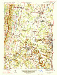 1946 Windsor Locks1946 Print · USGSImmediately following the war, this Hartford County landscape shows a mix of deep-rooted settlements and new military aviation at Bradley Field. Genealogists can locate family landmarks like Old Newgate Prison, Suffield Academy, and numerous parish burial grounds.2 unique versions available
 - 1947 Map of Hartford, 1955 Print
 1947 Hartford1955 Print · USGSSouthern New England and the Hudson Valley are shown in detail during the post-war expansion era. Genealogists and researchers can trace local landmarks from the State Capitol and Yale University to the Stratford Lighthouse and Woodlawn Cem.2 unique versions available
 - 1948 Map of Hartford
 1948 Hartford1948 Print · USGSSouthern New England is captured here in the late 1940s, showcasing a landscape of thriving industrial cities and developing parkways. Genealogists and historians can trace the rail networks of the New York New Haven and Hartford RR or locate coastal defense sites like Fort Terry and Camp Shanks.2 unique versions available
 - 1953 Map of Windsor Locks, 1954 Print
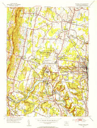 1953 Windsor Locks1954 Print · USGSThe Connecticut River valley comes alive in the early fifties, centered on the growing aviation hub at Bradley Field. Genealogists can trace family roots through West Suffield Cem, Suffield Academy, and the historic grounds of Newgate Prison.3 unique versions available
 - 1953 Map of Broad Brook, 1954 Print
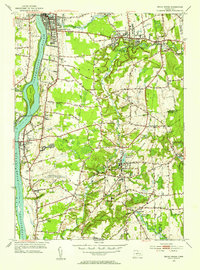 1953 Broad Brook1954 Print · USGSHartford County's agricultural and industrial character is preserved here just after the war, showing the village centers of Broad Brook and Hazardville. Researchers can locate old family plots at St Patricks Cem, trace the local water power at Sadds Mill, or find the former site of the Wallop Sch.4 unique versions available
 - 1961 Map of Hartford
 1961 Hartford1961 Print · USGSSouthern New England and the Hudson Valley are shown here in the mid-fifties, capturing a landscape of booming coastal cities and interior hill towns. Researchers can trace the legacy of the New York New Haven and Hartford rail corridor and find strategic sites like Camp Shanks and Fort Michie.
 - 1962 Map of Hartford, 1971 Print
 1962 Hartford1971 Print · USGSSouthern New England and the Hudson Valley are shown in the early sixties, as suburban growth reached into the foothills. Trace the path of the New York New Haven & Hartford RR and find landmarks like Camp Nathan Hale and Gillette Castle State Park.3 unique versions available
 - 1964 Map of Broad Brook, 1965 Print
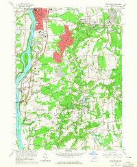 1964 Broad Brook1965 Print · USGSThe Connecticut River valley thrives in the mid-1960s as industrial towns and riverside villages expand. Genealogists can locate family plots at Enfield St Cem or trace the early suburban growth near the Harriet Beecher Stowe Sch.3 unique versions available
 - 1964 Map of Windsor Locks, 1966 Print
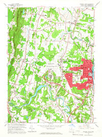 1964 Windsor Locks1966 Print · USGSMid-century Hartford County is defined here by the industrial pulse of the river and the expanding aviation hub at Bradley Field. Genealogists and historians can locate family plots at Woodlawn Cem or trace the early roots of Suffield Academy and the infamous Old Newgate Prison.3 unique versions available
 - 1965 Map of Hartford
 1965 Hartford1965 Print · USGSSouthern New England and the Hudson Valley are shown here during the mid-sixties expansion of the Interstate era. Trace the path of the New York New Haven & Hartford RR or locate historic landmarks like West Point Military Reservation and the Merritt Parkway.2 unique versions available
 - 1986 Map of Hartford
 1986 Hartford1986 Print · USGSCentral Connecticut and the surrounding highlands were undergoing significant suburban growth and industrial transition during the mid-eighties. Researchers can trace the layout of regional landmarks including Bradley International Airport, the University of Connecticut, and the historic State Capitol.
 - 1994 Map of Hartford, 1995 Print
 1994 Hartford1995 Print · USGSGreater Hartford and the Connecticut River Valley are captured here in the mid-nineties, showing the dense intersection of industry and academia. Trace the urban footprint of the State Capitol and Trinity College or locate the sprawling grounds of the University of Connecticut.2 unique versions available
 - 2012 Map of Windsor Locks, 2012 Print
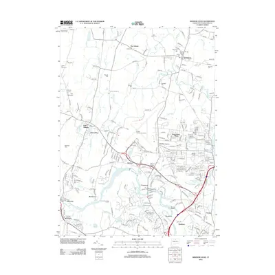 2012 Windsor Locks2012 Print · USGSThe Hartford area comes into sharp focus during the early twenty-first century, showing the expansion of modern infrastructure alongside centuries-old landmarks. Genealogists and historians can trace family sites at Ye Olde Poquonock Burial Grounds, Suffield Cem, and the village of Poquonock.
 - 2012 Map of Broad Brook, 2012 Print
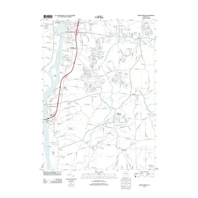 2012 Broad Brook2012 Print · USGSEnfield and the Scantic River valley are captured in detail during the early twenty-first century as suburban growth surrounds historic mill sites. Researchers can find numerous burial grounds like Enfield Street Cem and old industrial markers such as Sadds Mill and Powder Mill Ponds.
 - 2015 Map of Windsor Locks, 2015 Print
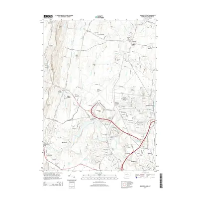 2015 Windsor Locks2015 Print · USGSGreater Windsor and Suffield are shown at the height of their modern development, anchored by the infrastructure of the Connecticut River Valley. Genealogists and historians can trace many local burial sites, including Poquonock Burial Grounds and Elmwood Cem, alongside landmarks like Metacomet Ridge.
 - 2015 Map of Broad Brook, 2015 Print
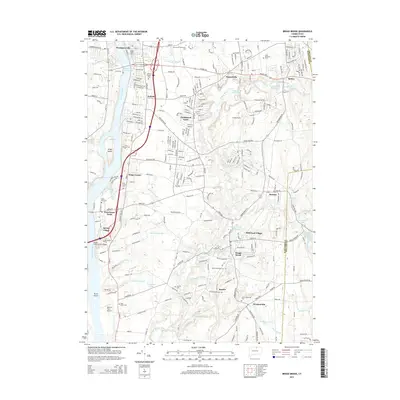 2015 Broad Brook2015 Print · USGSThe Connecticut River Valley near Enfield and Hazardville is shown here in the mid-2010s, balancing historic town centers with modern suburban growth. Genealogists can trace family names at Enfield Street Cem or North End Cem, while exploring landmarks like Kings Island and Skylark Airpark.
 - 2018 Map of Windsor Locks, 2018 Print
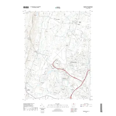 2018 Windsor Locks2018 Print · USGSThe Farmington River valley and the industrial corridor of Windsor Locks appear here during a period of modern expansion. Researchers can trace historic burial sites like the Captain John Viets Cem Prisoners Cem or locate the old Suffield Depot and Spoonville Bridge.
 - 2018 Map of Broad Brook, 2018 Print
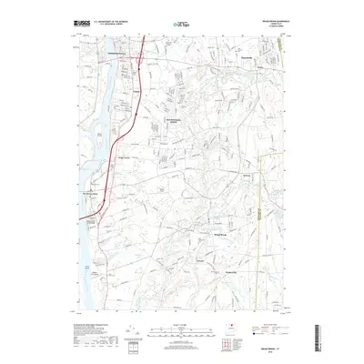 2018 Broad Brook2018 Print · USGSThe northern Connecticut riverfront and agricultural interior come into focus here during the late twenty-teens. Trace local roots through a high density of cemeteries like Springdale Cem and King Street Cem, or explore the village centers of Warehouse Point and Broad Brook.
 - 2021 Map of Windsor Locks, 2021 Print
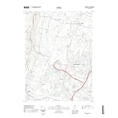 2021 Windsor Locks2021 Print · USGSWindsor Locks and the surrounding Hartford County highlands are captured here in the early twenty-first century. Genealogists can locate numerous historic resting places like Ye Olde Poquonock Burial Grounds and John Viets Cem near Metacomet Ridge.
 - 2021 Map of Broad Brook, 2021 Print
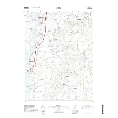 2021 Broad Brook2021 Print · USGSInland from the Connecticut River during the early 2020s, this area of Hartford County shows a dense network of millponds and historic village centers. Genealogists can trace family sites at Enfield Street Cem or King Street Cem and locate landmarks like the Broad Brook Millpond.
Showing maps 1-25 of 27
Top cities near Windsor Locks
- Springfield historical maps
- Hartford historical maps
- New Britain historical maps
- West Hartford historical maps
- Manchester historical maps
- Chicopee historical maps
See more
Top neighborhoods of Windsor Locks
Frequently asked questions
- What are the different types of historical maps available for Windsor Locks?
- What is the oldest map of Windsor Locks?
- Where can I purchase historical maps of Windsor Locks for my home or office?
- Where can I download high-res historical maps of Windsor Locks?
- Are there historical topographic maps available for Windsor Locks?
- Is there historical aerial imagery available for Windsor Locks?
- Where are historical maps of Windsor Locks sourced from?