2020s Maps of Killingworth, Connecticut
Explore 6 historic maps of Killingworth from the 2020s. These maps offer a rare glimpse into what life looked like during the 2020s — showing old roads, neighborhoods, homes, and landmarks that have changed or disappeared over time.
Whether you're researching your family's past, planning a metal detecting trip, or studying how Killingworth's landscape evolved across the 2020s, these high-resolution maps are a powerful tool for exploring the history of this region.
- Focus on a specific era: All maps on this page are from the 2020s, giving you a focused view of this time period.
- See what’s changed: Compare century-old streets, trails, and buildings to today's modern landscape using overlays and satellite layers.
- Research with precision: Use these maps for genealogy, historical research, land use analysis, or educational projects.
- View, download, or print: Maps are fully viewable online in high resolution, and can be downloaded or printed for your own records.
Start exploring Killingworth's history through authentic maps from the 2020s. This is your window into the past.
Killingworth, CT maps
(6)- 2021 Map of Durham, 2021 Print
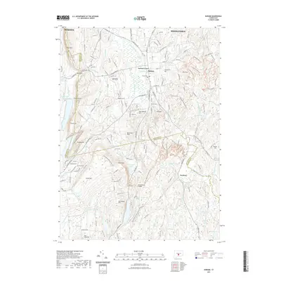 2021 Durham2021 Print · USGSCovers Killingworth, including Meriden, Middletown, and other nearby areas
 - 2021 Map of Clinton, 2021 Print
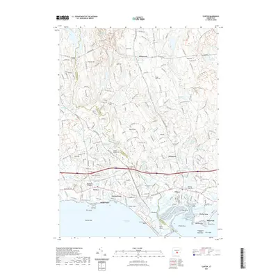 2021 Clinton2021 Print · USGSCovers Killingworth, including Madison, Clinton, and other nearby areas
 - 2021 Map of Haddam, 2021 Print
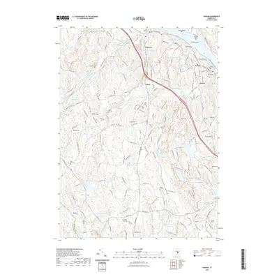 2021 Haddam2021 Print · USGSCovers Killingworth, including Madison, Haddam, and other nearby areas
 - 2024 Map of Clinton, 2024 Print
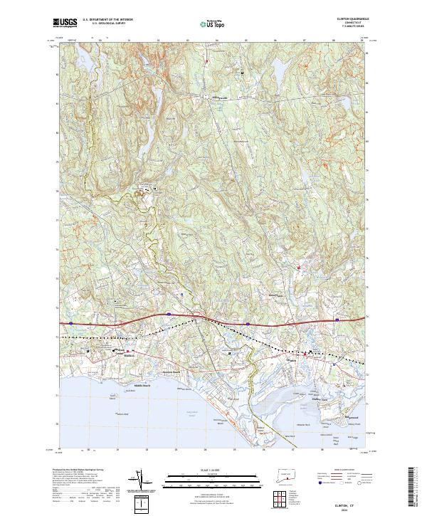 2024 Clinton2024 Print · USGSCoastal Middlesex County is detailed here during its modern development, spanning the shoreline between Madison Center and Clinton. Genealogists can locate several historic burial grounds including Evergreen Cem East and Indian River Cem, alongside landmarks like Hammonasset Beach State Park.
 - 2024 Map of Haddam, 2024 Print
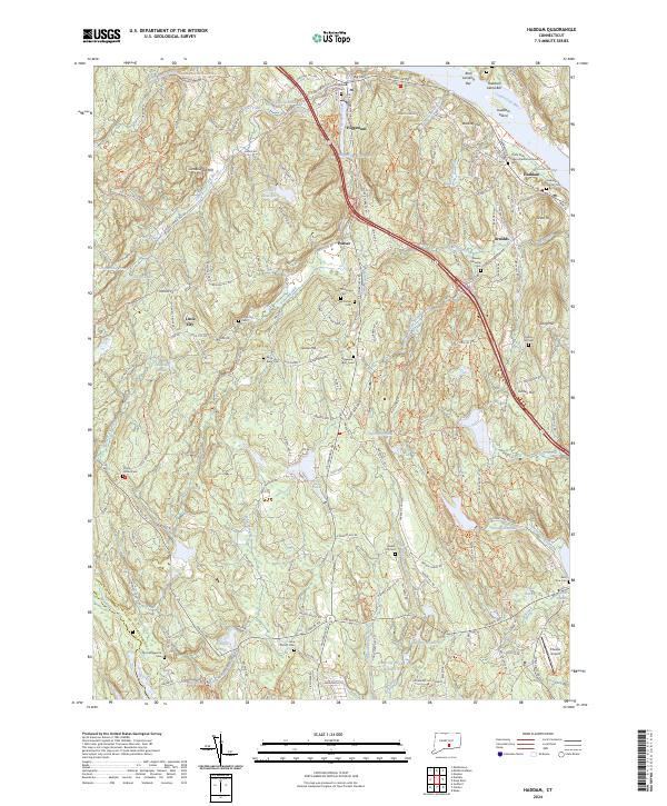 2024 Haddam2024 Print · USGSMiddlesex County's riverfront and upland settlements are documented here in the 2020s. Genealogists can locate numerous burial sites including the Thirty Mile Island Plantation Burial Yard, Stone House Cem, and Haddam Center Cem.
 - 2024 Map of Durham, 2024 Print
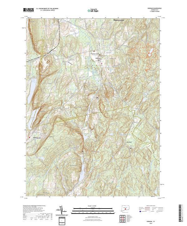 2024 Durham2024 Print · USGSMiddlesex County's highland ridges and river valleys are captured here as they appeared in 2024. Genealogists and local historians can trace family ties through several burial grounds, including Old Durham Cem, or locate landmarks like Maplewood Farm Airport and Bluff Head.
End of results
Showing maps 1-6 of 6
Top cities near Killingworth
- Meriden historical maps
- Middletown historical maps
- Wallingford historical maps
- Branford historical maps
- Southold historical maps
- Guilford historical maps
See more
Frequently asked questions
- What are the different types of historical maps available for Killingworth?
- What is the oldest map of Killingworth?
- Where can I purchase historical maps of Killingworth for my home or office?
- Where can I download high-res historical maps of Killingworth?
- Are there historical topographic maps available for Killingworth?
- Is there historical aerial imagery available for Killingworth?
- Where are historical maps of Killingworth sourced from?