2000s (21st Century) Maps of Ashford, Connecticut
Explore 22 historic maps of Ashford from the 2000s (21st Century). These maps offer a rare glimpse into what life looked like during the 2000s — showing old roads, neighborhoods, homes, and landmarks that have changed or disappeared over time.
Whether you're researching your family's past, planning a metal detecting trip, or studying how Ashford's landscape evolved across the 2000s, these high-resolution maps are a powerful tool for exploring the history of this region.
- Focus on a specific era: All maps on this page are from the 2000s, giving you a focused view of this time period.
- See what’s changed: Compare century-old streets, trails, and buildings to today's modern landscape using overlays and satellite layers.
- Research with precision: Use these maps for genealogy, historical research, land use analysis, or educational projects.
- View, download, or print: Maps are fully viewable online in high resolution, and can be downloaded or printed for your own records.
Start exploring Ashford's history through authentic maps from the 2000s. This is your window into the past.
Ashford, CT maps
(22)- 2012 Map of Hampton, 2012 Print
 2012 Hampton2012 Print · USGSCovers Ashford, including Brooklyn, Canterbury, and other nearby areas
 - 2012 Map of Eastford, 2012 Print
 2012 Eastford2012 Print · USGSCovers Ashford, including Woodstock, Pomfret, and other nearby areas
 - 2012 Map of Westford, 2012 Print
 2012 Westford2012 Print · USGSCovers Ashford, including Stafford, Willington, and other nearby areas
 - 2012 Map of Spring Hill, 2012 Print
 2012 Spring Hill2012 Print · USGSCovers Ashford, including Mansfield, Windham, and other nearby areas
 - 2015 Map of Westford, 2015 Print
 2015 Westford2015 Print · USGSCovers Ashford, including Stafford, Willington, and other nearby areas
 - 2015 Map of Spring Hill, 2015 Print
 2015 Spring Hill2015 Print · USGSCovers Ashford, including Mansfield, Windham, and other nearby areas
 - 2015 Map of Eastford, 2015 Print
 2015 Eastford2015 Print · USGSCovers Ashford, including Woodstock, Pomfret, and other nearby areas
 - 2015 Map of Hampton, 2015 Print
 2015 Hampton2015 Print · USGSCovers Ashford, including Brooklyn, Canterbury, and other nearby areas
 - 2018 Map of Hampton, 2018 Print
 2018 Hampton2018 Print · USGSCovers Ashford, including Brooklyn, Canterbury, and other nearby areas
 - 2018 Map of Spring Hill, 2018 Print
 2018 Spring Hill2018 Print · USGSCovers Ashford, including Mansfield, Windham, and other nearby areas
 - 2018 Map of Westford, 2018 Print
 2018 Westford2018 Print · USGSCovers Ashford, including Stafford, Willington, and other nearby areas
 - 2018 Map of Eastford, 2018 Print
 2018 Eastford2018 Print · USGSCovers Ashford, including Woodstock, Pomfret, and other nearby areas
 - 2021 Map of Westford, 2021 Print
 2021 Westford2021 Print · USGSCovers Ashford, including Stafford, Willington, and other nearby areas
 - 2021 Map of Eastford, 2021 Print
 2021 Eastford2021 Print · USGSCovers Ashford, including Woodstock, Pomfret, and other nearby areas
 - 2021 Map of Spring Hill, 2021 Print
 2021 Spring Hill2021 Print · USGSCovers Ashford, including Mansfield, Windham, and other nearby areas
 - 2021 Map of Hampton, 2021 Print
 2021 Hampton2021 Print · USGSCovers Ashford, including Brooklyn, Canterbury, and other nearby areas
 - 2023 Map of Spring Hill, 2023 Print
 2023 Spring Hill2023 Print · USGSCovers Ashford, including Mansfield, Windham, and other nearby areas
 - 2023 Map of Westford, 2023 Print
 2023 Westford2023 Print · USGSCovers Ashford, including Stafford, Willington, and other nearby areas
 - 2024 Map of Hampton, 2024 Print
 2024 Hampton2024 Print · USGSWindham County's rural uplands are shown in high detail at the start of the 2020s, highlighting the enduring settlement patterns of eastern Connecticut. Genealogists can trace family connections at the General Lyon Cem or South Cem, while historians can follow the path of the Airline Trl through Phoenixville and Hampton Hill.
 - 2024 Map of Eastford, 2024 Print
 2024 Eastford2024 Print · USGSNortheastern Connecticut’s quiet rural character is on full display in this modern survey of Windham County. Researchers can trace ancestral roots through numerous local burial sites like Trowbridge Cem or locate old landmarks near Lake Bungee and Toutant Airport.
 - 2024 Map of Spring Hill, 2024 Print
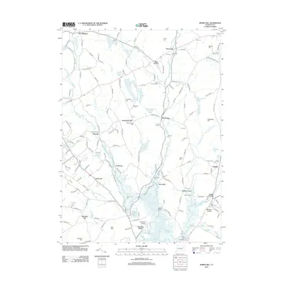
 2024 Spring Hill2024 Print · USGSTolland County's landscape is defined by the academic hub of Storrs and a network of historic river valleys in the mid-2020s. Researchers can trace the layout of the University of Connecticut, find ancestors at Olde Mansfield Center Cem, or follow the Nipmuck Trl through Chaffeeville.
 - 2024 Map of Westford, 2024 Print
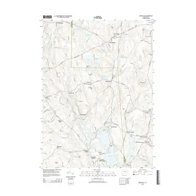
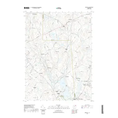
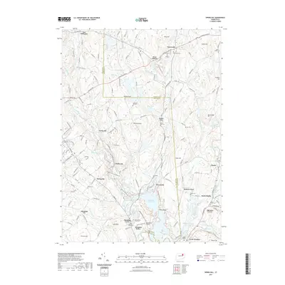
 2024 Westford2024 Print · USGSThe rural uplands of Union and Westford are documented here in recent detail, showing a landscape shaped by narrow hollows and high ridges. Local historians can trace cemetery locations like Swamp Cem or follow the route of the Nipmuck Trl past landmarks such as Lead Mine Hill.
End of results
Showing maps 1-22 of 22
Top cities near Ashford
- Mansfield historical maps
- Windham historical maps
- Willimantic historical maps
- Southbridge historical maps
- Storrs historical maps
- Plainfield historical maps
See more
Top neighborhoods of Ashford
- Westford historical maps
- Warrenville historical maps
- West Ashford historical maps
- Lake Chaffee historical maps
Frequently asked questions
- What are the different types of historical maps available for Ashford?
- What is the oldest map of Ashford?
- Where can I purchase historical maps of Ashford for my home or office?
- Where can I download high-res historical maps of Ashford?
- Are there historical topographic maps available for Ashford?
- Is there historical aerial imagery available for Ashford?
- Where are historical maps of Ashford sourced from?