2000s (21st Century) Maps of Killingly, Connecticut
Explore 22 historic maps of Killingly from the 2000s (21st Century). These maps offer a rare glimpse into what life looked like during the 2000s — showing old roads, neighborhoods, homes, and landmarks that have changed or disappeared over time.
Whether you're researching your family's past, planning a metal detecting trip, or studying how Killingly's landscape evolved across the 2000s, these high-resolution maps are a powerful tool for exploring the history of this region.
- Focus on a specific era: All maps on this page are from the 2000s, giving you a focused view of this time period.
- See what’s changed: Compare century-old streets, trails, and buildings to today's modern landscape using overlays and satellite layers.
- Research with precision: Use these maps for genealogy, historical research, land use analysis, or educational projects.
- View, download, or print: Maps are fully viewable online in high resolution, and can be downloaded or printed for your own records.
Start exploring Killingly's history through authentic maps from the 2000s. This is your window into the past.
Killingly, CT maps
(22)- 2012 Map of Thompson, 2012 Print
 2012 Thompson2012 Print · USGSCovers Killingly, including Burrillville, Glocester, and other nearby areas
 - 2012 Map of Putnam, 2012 Print
 2012 Putnam2012 Print · USGSCovers Killingly, including Thompson, Woodstock, and other nearby areas
 - 2012 Map of East Killingly, 2012 Print
 2012 East Killingly2012 Print · USGSCovers Killingly, including Plainfield, Glocester, and other nearby areas
 - 2012 Map of Danielson, 2012 Print
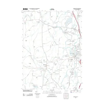 2012 Danielson2012 Print · USGSCovers Killingly, including Plainfield, Brooklyn, and other nearby areas
 - 2015 Map of Danielson, 2015 Print
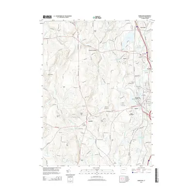 2015 Danielson2015 Print · USGSCovers Killingly, including Plainfield, Brooklyn, and other nearby areas
 - 2015 Map of Thompson, 2015 Print
 2015 Thompson2015 Print · USGSCovers Killingly, including Burrillville, Glocester, and other nearby areas
 - 2015 Map of East Killingly, 2015 Print
 2015 East Killingly2015 Print · USGSCovers Killingly, including Plainfield, Glocester, and other nearby areas
 - 2015 Map of Putnam, 2015 Print
 2015 Putnam2015 Print · USGSCovers Killingly, including Thompson, Woodstock, and other nearby areas
 - 2018 Map of Putnam, 2018 Print
 2018 Putnam2018 Print · USGSCovers Killingly, including Thompson, Woodstock, and other nearby areas
 - 2018 Map of Thompson, 2018 Print
 2018 Thompson2018 Print · USGSCovers Killingly, including Burrillville, Glocester, and other nearby areas
 - 2018 Map of Danielson, 2018 Print
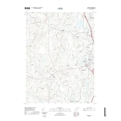 2018 Danielson2018 Print · USGSCovers Killingly, including Plainfield, Brooklyn, and other nearby areas
 - 2018 Map of East Killingly, 2018 Print
 2018 East Killingly2018 Print · USGSCovers Killingly, including Plainfield, Glocester, and other nearby areas
 - 2021 Map of East Killingly, 2021 Print
 2021 East Killingly2021 Print · USGSCovers Killingly, including Plainfield, Glocester, and other nearby areas
 - 2021 Map of Putnam, 2021 Print
 2021 Putnam2021 Print · USGSCovers Killingly, including Thompson, Woodstock, and other nearby areas
 - 2021 Map of Thompson, 2021 Print
 2021 Thompson2021 Print · USGSCovers Killingly, including Burrillville, Glocester, and other nearby areas
 - 2021 Map of Danielson, 2021 Print
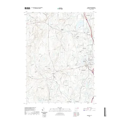 2021 Danielson2021 Print · USGSCovers Killingly, including Plainfield, Brooklyn, and other nearby areas
 - 2023 Map of Danielson, 2023 Print
 2023 Danielson2023 Print · USGSCovers Killingly, including Plainfield, Brooklyn, and other nearby areas
 - 2023 Map of East Killingly, 2023 Print
 2023 East Killingly2023 Print · USGSCovers Killingly, including Plainfield, Glocester, and other nearby areas
 - 2024 Map of Danielson, 2024 Print
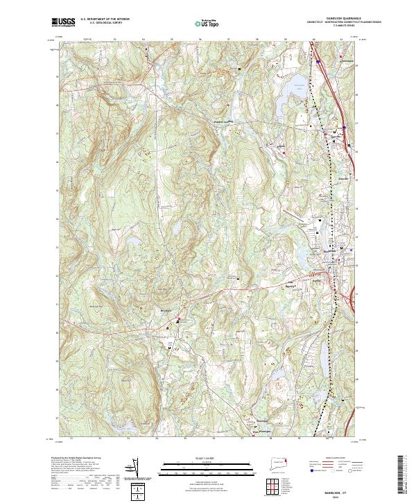 2024 Danielson2024 Print · USGSEastern Connecticut's industrial and civic landscape is charted here, centered on the river-fed villages of Danielson and Wauregan. Trace ancestral sites and local history at Old Trinity Church Cem, the Israel-Putnam Memorial, and Alexander Lake.
 - 2024 Map of Thompson, 2024 Print
 2024 Thompson2024 Print · USGSThe borderlands of Windham County and Rhode Island's Providence County are detailed here in the twenty-first century. Genealogists can locate family burial sites like Munyan Cem and Ross Cem or trace old property lines at the Captain James Reynolds Lot.
 - 2024 Map of Putnam, 2024 Print
 2024 Putnam2024 Print · USGSNortheastern Connecticut at the start of the 2020s shows a complex blend of historic town centers and protected natural areas. Genealogists and local historians can trace family sites from Old Killingly Burial Ground to the Quasset Cem and explore the legacy of South Woodstock.
 - 2024 Map of East Killingly, 2024 Print
 2024 East Killingly2024 Print · USGSCrossing the Connecticut and Rhode Island border in the early twenty-first century, this landscape preserves centuries of family history. Genealogists can trace specific ancestral plots like the Dr Solomon Drowne Lot or find old community landmarks at Old Chestnut Hill Cem and Jerimoth Hill.
End of results
Showing maps 1-22 of 22
Top cities near Killingly
- Norwich historical maps
- Coventry historical maps
- Webster historical maps
- Southbridge historical maps
- Burrillville historical maps
- Plainfield historical maps
See more
Top neighborhoods of Killingly
- Rogers historical maps
- Dayville historical maps
- East Killingly historical maps
- Pineville historical maps
- Attawaugan historical maps
- South Killingly historical maps
See more
Frequently asked questions
- What are the different types of historical maps available for Killingly?
- What is the oldest map of Killingly?
- Where can I purchase historical maps of Killingly for my home or office?
- Where can I download high-res historical maps of Killingly?
- Are there historical topographic maps available for Killingly?
- Is there historical aerial imagery available for Killingly?
- Where are historical maps of Killingly sourced from?