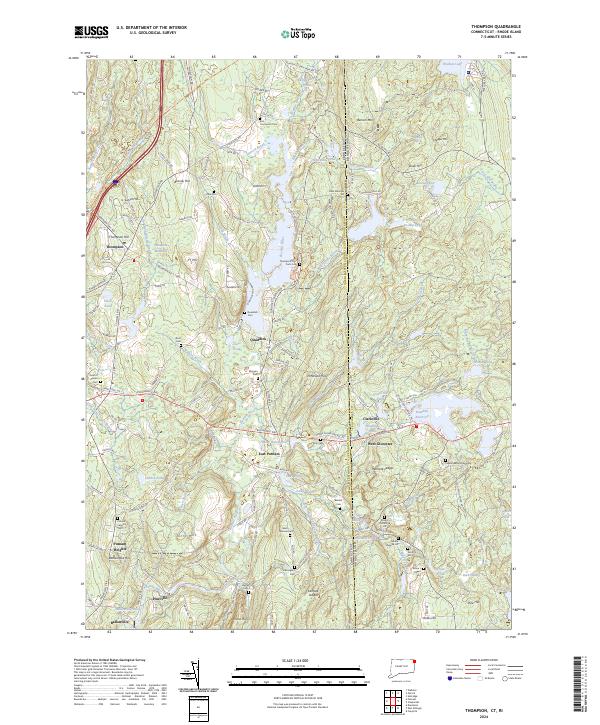
2024 Map of Thompson
USGS Topo · Published 2024About this map
Thompson and its surrounding hill country serve as the focal point for this survey of the Connecticut and Rhode Island borderlands. The landscape is defined by its numerous small burial grounds, including the East Thompson Cem and the Thompson Poor Farm Cem, which offer significant data points for local genealogists and historians. The terrain is marked by prominent elevations such as Benson Mtn and Buck Hill, while the Fivemile River and the Quinebaug River frame the western and central hydrology.
Find a feature on this map
138 named features on this map. Tap any name to fly to it.
Don’t see what you’re looking for? This feature index may not catch every label — zoom into the map to look around manually.
Map Details
Editions of this 2024 Thompson Map
This is the sole edition of this map. No revisions or reprints were ever made.
Other maps of this area

1886 · Blackstone
USGS Topo · 1:62,500

1889 · Blackstone
USGS Topo · 1:62,500

1889 · Webster
USGS Topo · 1:62,500

1889 · Putnam
USGS Topo · 1:62,500

1889 · Burrillville
USGS Topo · 1:62,500

1892 · Webster
USGS Topo · 1:62,500

1893 · Putnam
USGS Topo · 1:62,500

1893 · Blackstone
USGS Topo · 1:62,500

1894 · Burrillville
USGS Topo · 1:62,500

1900 · Blackstone
USGS Topo · 1:62,500