
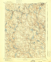
1894 Map of Burrillville
USGS Topo · Published 1894About this map
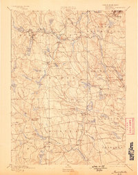
Woonsocket and its industrial fringes anchor this 1894 survey of Northwest Rhode Island, a landscape defined by its deep reliance on water power. The Branch River and Ponaganset River systems are dotted with mill settlements like Slatersville, Harrisville, and Oakland, each grown around the harnessed energy of the state's interior. The presence of the Providence and Springfield R. R. cutting through Burrillville and Smithfield illustrates the critical transport link between these manufacturing hubs and the larger markets of Providence. The map also captures several family-named landmarks and topographic features, including Woonsocket Hill, Chopmist Hill, and the Cat Rocks, which break up the wooded terrain between the more densely settled villages. Genealogists will find particular value in the distribution of smaller hamlets such as Mohegan, Gazzaville, and Mountain Dale before modern expansion altered these rural centers.
Find a feature on this map
138 named features on this map. Tap any name to fly to it.
Don’t see what you’re looking for? This feature index may not catch every label — zoom into the map to look around manually.
Map Details
Editions of this 1894 Burrillville Map
6 editions found
Other maps of this area

1886 · Blackstone
USGS Topo · 1:62,500

1887 · Franklin
USGS Topo · 1:62,500

1887 · Providence
USGS Topo · 1:62,500

1889 · Providence
USGS Topo · 1:62,500

1889 · Blackstone
USGS Topo · 1:62,500

1889 · Webster
USGS Topo · 1:62,500

1889 · Franklin
USGS Topo · 1:62,500

1889 · Putnam
USGS Topo · 1:62,500

1889 · Burrillville
USGS Topo · 1:62,500

1889 · Moosup
USGS Topo · 1:62,500