1894 Map of Burrillville
USGS Topo · Published 1926About this map
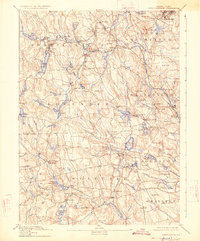
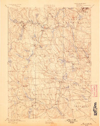
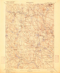
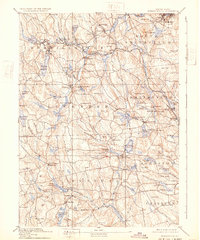
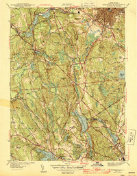
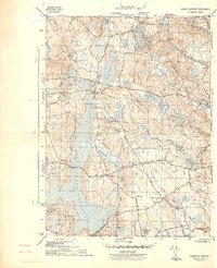
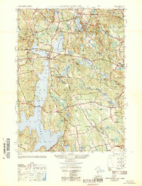
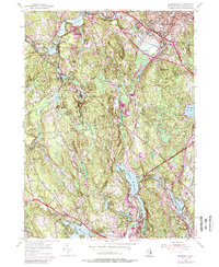
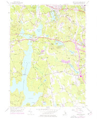
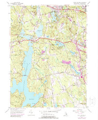
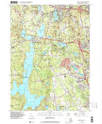
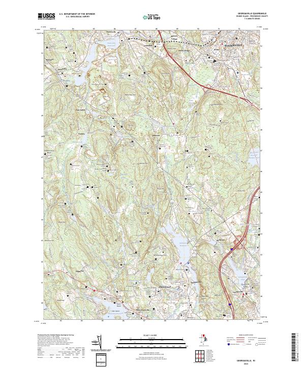
The Providence and Springfield R. R. cuts through the northern interior of Rhode Island, connecting industrial mill villages like Oakland, Harrisville, and Pascoag Reservoir. The landscape is a network of river-powered industry, where the Branch River and Chepachet River fueled numerous settlements including Slatersville, Glendale, and Nasonville. This topography reveals the significant water-management systems of the late 19th century, featuring reservoirs like Wilson Reservoir and Waterman Reservoir designed to maintain consistent flows for downstream manufacturing. Beyond the industrial corridors, the terrain rises to notable heights such as Woonsocket Hill and Chopmist Hill, while the southeastern corner shows early development in Cranston and Johnston. The map documents a period when rural upland farming still coexisted with the dense mill towns that defined the Blackstone Valley and its tributaries.
Find a feature on this map
130 named features on this map. Tap any name to fly to it.
Don’t see what you’re looking for? This feature index may not catch every label — zoom into the map to look around manually.
Map Details
Editions of this 1894 Burrillville Map
6 editions found

Historical Maps of Cranston Through Time
22 maps found

1889 Burrillville
Providence County, RI

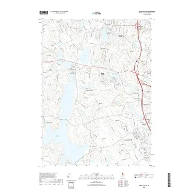
1894 Burrillville
Providence County, RI

1915 Burrillville
Providence County, RI

1921 Burrillville
Providence County, RI
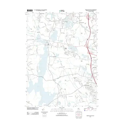
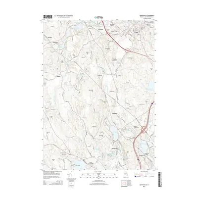
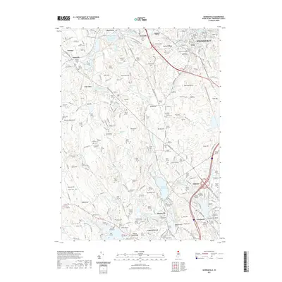
1943 Georgiaville
Providence County, RI
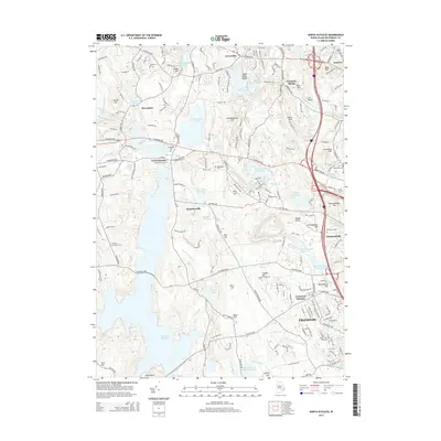
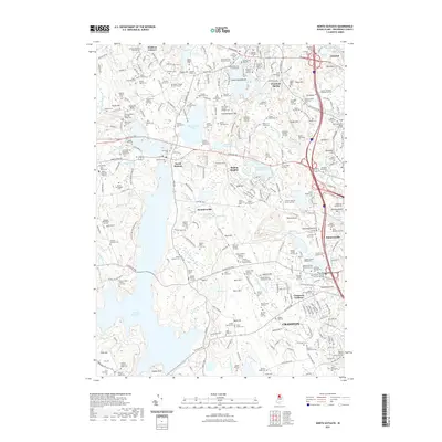
1943 North Scituate
Providence County, RI
1950 North Scituate
Providence County, RI
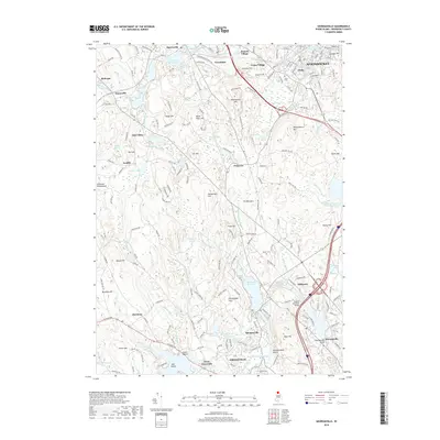
1954 Georgiaville
Providence County, RI
1955 North Scituate
Providence County, RI
1975 North Scituate
Providence County, RI
1996 North Scituate
Providence County, RI

1999 Georgiaville
Providence County, RI
2012 Georgiaville
Providence County, RI
2012 North Scituate
Providence County, RI
2015 Georgiaville
Providence County, RI
2015 North Scituate
Providence County, RI
2018 Georgiaville
Providence County, RI
2018 North Scituate
Providence County, RI
2021 Georgiaville
Providence County, RI
2021 North Scituate
Providence County, RI
2024 Georgiaville
Providence County, RI
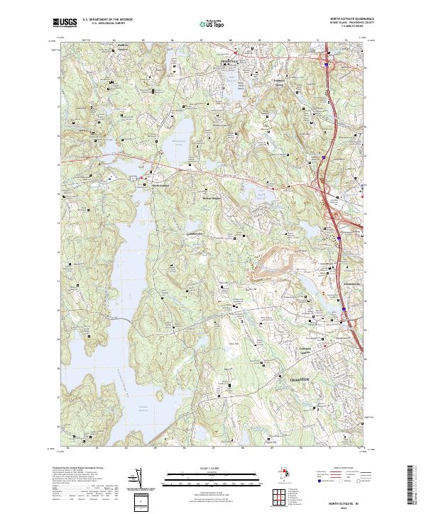
2024 North Scituate
Providence County, RI