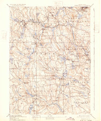
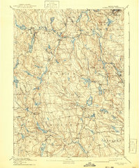
1894 Map of Burrillville
USGS Topo · Published 1932About this map
Industrial villages and mill towns cluster along the Branch River and Clear River in this late 19th-century study of Northwest Rhode Island. The Providence and Springfield R. R. serves as the region's primary artery, connecting settlements like Pascoag, Harrisville, and Oakland to the wider trade network. This era shows the landscape at its industrial height, where the valley floor is dense with small manufacturing centers such as Slatersville, Nasonville, and Glendale.
Find a feature on this map
136 named features on this map. Tap any name to fly to it.
Don’t see what you’re looking for? This feature index may not catch every label — zoom into the map to look around manually.
Map Details
Editions of this 1894 Burrillville Map
6 editions found

Other maps of this area

1886 · Blackstone
USGS Topo · 1:62,500

1887 · Franklin
USGS Topo · 1:62,500

1887 · Providence
USGS Topo · 1:62,500

1889 · Providence
USGS Topo · 1:62,500

1889 · Blackstone
USGS Topo · 1:62,500

1889 · Webster
USGS Topo · 1:62,500

1889 · Franklin
USGS Topo · 1:62,500

1889 · Putnam
USGS Topo · 1:62,500

1889 · Burrillville
USGS Topo · 1:62,500

1889 · Moosup
USGS Topo · 1:62,500