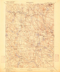
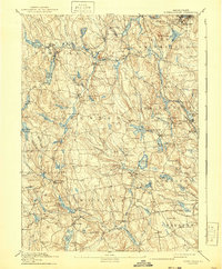
1894 Map of Burrillville
USGS Topo · Published 1916About this map
Woonsocket anchor the northeastern corner of this Northwest Rhode Island landscape, where the Providence and Springfield RR snakes through industrial villages along the Branch River. The interior is defined by a dense network of mill towns and textile centers like Harrisville, Pascoag, and Georgiaville, each situated near the water power of the Clear River and numerous catchments. This topography reflects the late 19th-century industrialization of the Blackstone Valley hinterlands, characterized by a series of reservoirs such as Wilson Reservoir and Barden Reservoir that managed flow for downriver production.
Find a feature on this map
135 named features on this map. Tap any name to fly to it.
Don’t see what you’re looking for? This feature index may not catch every label — zoom into the map to look around manually.
Map Details
Editions of this 1894 Burrillville Map
6 editions found

Other maps of this area

1886 · Blackstone
USGS Topo · 1:62,500

1887 · Franklin
USGS Topo · 1:62,500

1887 · Providence
USGS Topo · 1:62,500

1889 · Providence
USGS Topo · 1:62,500

1889 · Blackstone
USGS Topo · 1:62,500

1889 · Webster
USGS Topo · 1:62,500

1889 · Franklin
USGS Topo · 1:62,500

1889 · Putnam
USGS Topo · 1:62,500

1889 · Burrillville
USGS Topo · 1:62,500

1889 · Moosup
USGS Topo · 1:62,500