Old Maps of West Hartland, Hartland for Genealogy
Trace your family roots with 25 historic maps of West Hartland. These high-res maps reveal old neighborhoods, homesites, landmarks, and streets — helping you uncover where your ancestors lived and how the area evolved over time.
- Explore historic neighborhoods: Identify where your relatives may have lived in the 1800s or 1900s.
- Compare maps over time: Trace the changes in streets, buildings, and landmarks for multi-generational research.
- Perfect for genealogy & ancestry research: Used by family historians and researchers to map out lineage and migration.
These maps are an incredible resource for exploring your personal connection to West Hartland's past.
West Hartland, Hartland maps
(25)- 1887 Map of Granville
 1887 Granville1887 Print · USGSHampden County's river valleys and rugged uplands are captured here in the late nineteenth century as industry and railroads transformed the terrain. Trace family-named landmarks and infrastructure like Ore Hill, the Borden Br. Res., and the Boston and Albany Railroad.
 - 1889 Map of Granville
 1889 Granville1889 Print · USGSThe hill towns of Hampden County are shown here in the late nineteenth century, capturing a period of upland farming and early industrial rail. Researchers can trace the Boston and Albany Railroad through the Westfield River valley or locate family sites in North Blandford and East Granville.
 - 1893 Map of Granville
 1893 Granville1893 Print · USGSHampden County and the northern Connecticut border are captured here in the late nineteenth century as the regional rail network matured. Genealogists and local historians can trace the early homesteads and hamlets of Blandford, Granville, and West Parish, while locating landmarks like Ore Hill and Salmon Falls.
 - 1895 Map of Granville
 1895 Granville1895 Print · USGSWestern Massachusetts and northern Connecticut hill towns are captured in the 1890s, revealing a landscape of remote mountain hamlets and early river railroads. Genealogists can trace family holdings near East Granville, North Blandford, and the distinct peaks of Liberty Hill or Winchell Mtn.8 unique versions available
 - 1896 Map of Holyoke
 1896 Holyoke1896 Print · USGSThe Pioneer Valley and the eastern Berkshire foothills thrive in the 1890s as a complex network of industrial towns and upland farming communities. Historians can trace early infrastructure through the Bisbee Mill, the Agricultural College, and the prominent Ox Bow on the Connecticut River.
 - 1897 Map of Holyoke
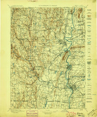 1897 Holyoke1897 Print · USGSThe Pioneer Valley and surrounding highlands thrive in the 1890s, caught here at the height of the region's industrial and agricultural development. Genealogists and historians can trace family roots through dozens of hill towns and river settlements, from Agricultural College in Amherst to the mills of Holyoke and the remote tracks of the Athol Br. R. R..
 - 1901 Map of Holyoke
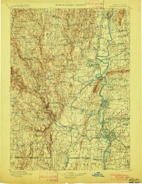 1901 Holyoke1901 Print · USGSThe Pioneer Valley and surrounding highlands thrive at the turn of the century, showing a landscape defined by mill towns and early rail networks. Genealogists and historians can trace old homesteads and local landmarks like Bisbee Mill, South Ferry, and the Agricultural College.4 unique versions available
 - 1943 Map of Holyoke
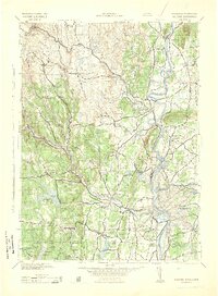 1943 Holyoke1943 Print · USGSThe Pioneer Valley and the eastern Berkshires are captured here in the early 1940s, showing a robust network of river-side industry and hill-country forests. Researchers can locate vanished landmarks and institutional grounds like Northampton State Hospital, Barnes Airport, and the Nat Gd Rifle Range.
 - 1946 Map of West Granville
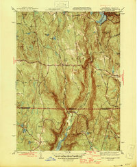 1946 West Granville1946 Print · USGSThe Massachusetts-Connecticut borderlands are captured here in the mid-1940s as the regional landscape was being reshaped by large-scale water projects. Genealogists and local historians can trace family-named roads and landmarks like Tolland Cem, Hartland Sch, and the Booth Hill Fire Tower.2 unique versions available
 - 1948 Map of Albany, 1951 Print
 1948 Albany1951 Print · USGSThe Hudson and Connecticut River valleys are captured here in the late 1940s, showing the vital rail and water corridors of the Northeast. You can trace the Boston and Maine tracks past Mt Greylock or locate early settlements like Great Barrington and Bennington.
 - 1955 Map of West Granville, 1957 Print
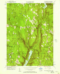 1955 West Granville1957 Print · USGSThe Massachusetts and Connecticut borderlands appear here in the mid-1950s, characterized by vast state forests and major reservoir projects. Genealogists can trace family names and local landmarks like Tolland Cem, Hartland Sch, and the West Granville village center.2 unique versions available
 - 1956 Map of Albany, 1968 Print
 1956 Albany1968 Print · USGSThe industrial heart of the Northeast is revealed in the mid-1950s, from the Hudson Valley to the Connecticut River. Researchers can trace the legacy of the Quabbin Reservoir, locate Westover Air Force Base, or follow the Rutland RR through the Green Mountains.2 unique versions available
 - 1957 Map of Albany
 1957 Albany1957 Print · USGSThe Tri-State region and Connecticut River Valley are captured here during a period of significant postwar growth and infrastructure expansion. Genealogists and historians can trace the rail-and-river economy through landmarks like the Boston and Maine railroad, Quabbin Reservoir, and Westover Air Force Base.
 - 1959 Map of Albany
 1959 Albany1959 Print · USGSThe Hudson and Connecticut River valleys are captured here during the late fifties, showing the region's dense rail networks and massive water projects. Researchers can trace the New York State Thruway or locate local landmarks like Mt Greylock and the Quabbin Reservoir.
 - 1962 Map of Albany
 1962 Albany1962 Print · USGSThe Hudson and Connecticut River valleys meet the Green Mountains and Berkshires in this mid-century overview of the Northeast. Genealogists and historians can trace the industrial hearts of Albany and Springfield or locate features like Quabbin Reservoir and Westover Air Force Base.
 - 1971 Map of West Granville, 1973 Print
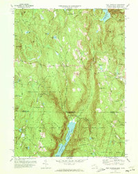 1971 West Granville1973 Print · USGSThe Massachusetts and Connecticut borderlands are captured here in the early 1970s, featuring the expansive waters of the Farmington River Reservoir. Local historians can trace old mountain roads and sites like West Granville, Woodland Cem, and Baird Four Corners.6 unique versions available
 - 1975 Map of West Granville, 1981 Print
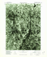 1975 West Granville1981 Print · USGSThe Massachusetts and Connecticut borderlands appear in sharp detail in the mid-1970s, before modern development further altered the rural landscape. Researchers can trace historic crossroads at Baird Four Corners and examine the massive footprints of Cobble Mountain Reservoir and West Granville.
 - 1985 Map of Holyoke, 1986 Print
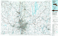 1985 Holyoke1986 Print · USGSThe Pioneer Valley and surrounding uplands appear here in the mid-eighties, showing a landscape defined by the Connecticut River and modern highway expansion. Genealogists and historians can trace rail lines like the Central Vermont Railway and locate regional landmarks from Mount Tom State Reservation to the Quabbin Reservoir.2 unique versions available
 - 1987 Map of Southwick, 1988 Print
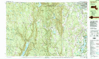 1987 Southwick1988 Print · USGSThe Southwick and Granville borderlands are shown here in the late 1980s, balancing residential growth with vast state forests. Genealogists can locate family sites like Woodland Cem or Gillett Corner while tracing the shores of the Congamond Lakes.
 - 1997 Map of Southwick, 2000 Print
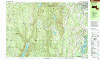 1997 Southwick2000 Print · USGSThe Massachusetts-Connecticut border at the close of the twentieth century reveals a landscape of massive reservoirs and wooded state forests. Researchers can trace ancestral sites at the Southwick Ancient Burial Grounds or explore the terrain around Sweetman Mountain and Cobble Mountain Reservoir.
 - 2012 Map of West Granville, 2012 Print
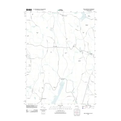 2012 West Granville2012 Print · USGSThe Massachusetts-Connecticut borderlands are seen here during the early 21st century, centered on the high ridges and massive water reservoirs of the Berkshires. Researchers can trace family history at West Hartland Cem and Center Cem or locate the old Wild Cat Aqueduct.
 - 2015 Map of West Granville, 2015 Print
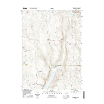 2015 West Granville2015 Print · USGSThe Massachusetts and Connecticut borderlands appear here in the early 21st century, centered on the high country and reservoirs of Hampden and Hartford counties. Researchers can trace local burial sites like South Quarter Cem and the small settlements of West Granville and West Hartland.
 - 2018 Map of West Granville, 2018 Print
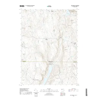 2018 West Granville2018 Print · USGSThe Massachusetts-Connecticut state line divides this high-country landscape during the late twenty-teens. Researchers can trace historic burial sites like West Hartland Cem or locate regional infrastructure like the Wild Cat Aqueduct and Ore Hill.
 - 2021 Map of West Granville, 2021 Print
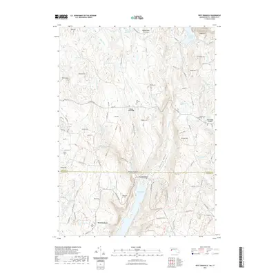 2021 West Granville2021 Print · USGSThe Massachusetts and Connecticut borderlands are mapped here as a network of reservoirs and rural crossroads. Genealogists can trace family names at Tolland Cem and West Granville Cem or locate the old Baird Four Corners settlement.
 - 2024 Map of West Granville, 2024 Print
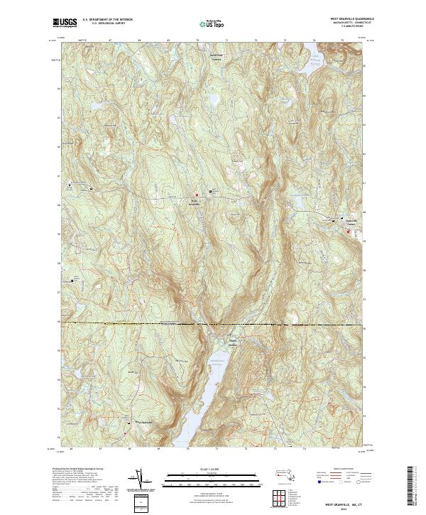 2024 West Granville2024 Print · USGSThe Massachusetts-Connecticut borderlands appear here in the modern era, centered on the highland settlements of West Granville and Granville Center. Genealogists can locate several historic burial sites like Spring Hill Cem and South Quarter Cem among the peaks of Ore Hill and Winchell Mtn.
End of results
Showing maps 1-25 of 25
Top cities near West Hartland
- West Hartford historical maps
- Westfield historical maps
- Torrington historical maps
- Simsbury historical maps
- Bloomfield historical maps
- Avon historical maps
See more
Frequently asked questions
- What are the different types of historical maps available for West Hartland?
- What is the oldest map of West Hartland?
- Where can I purchase historical maps of West Hartland for my home or office?
- Where can I download high-res historical maps of West Hartland?
- Are there historical topographic maps available for West Hartland?
- Is there historical aerial imagery available for West Hartland?
- Where are historical maps of West Hartland sourced from?