2000s (21st Century) Maps of Ore Hill, Salisbury
Explore 6 historic maps of Ore Hill from the 2000s (21st Century). These maps offer a rare glimpse into what life looked like during the 2000s — showing old roads, neighborhoods, homes, and landmarks that have changed or disappeared over time.
Whether you're researching your family's past, planning a metal detecting trip, or studying how Ore Hill's landscape evolved across the 2000s, these high-resolution maps are a powerful tool for exploring the history of this region.
- Focus on a specific era: All maps on this page are from the 2000s, giving you a focused view of this time period.
- See what’s changed: Compare century-old streets, trails, and buildings to today's modern landscape using overlays and satellite layers.
- Research with precision: Use these maps for genealogy, historical research, land use analysis, or educational projects.
- View, download, or print: Maps are fully viewable online in high resolution, and can be downloaded or printed for your own records.
Start exploring Ore Hill's history through authentic maps from the 2000s. This is your window into the past.
Ore Hill, Salisbury maps
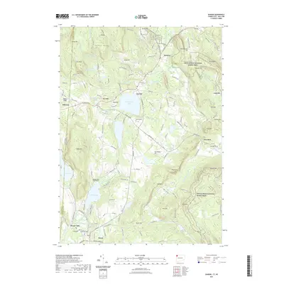
(6)- 2010 Map of Sharon, 2010 Print
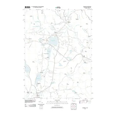 2010 Sharon2010 Print · USGSCovers Ore Hill, including Salisbury, North East, and other nearby areas
 - 2012 Map of Sharon, 2012 Print
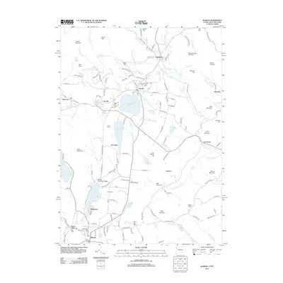 2012 Sharon2012 Print · USGSCovers Ore Hill, including Salisbury, North East, and other nearby areas
 - 2015 Map of Sharon, 2015 Print
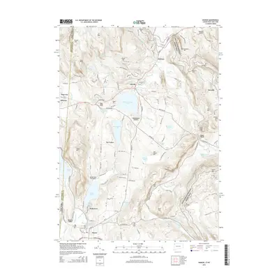 2015 Sharon2015 Print · USGSCovers Ore Hill, including Salisbury, North East, and other nearby areas
 - 2018 Map of Sharon, 2018 Print
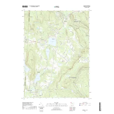 2018 Sharon2018 Print · USGSCovers Ore Hill, including Salisbury, North East, and other nearby areas
 - 2021 Map of Sharon, 2021 Print
 2021 Sharon2021 Print · USGSCovers Ore Hill, including Salisbury, North East, and other nearby areas
 - 2024 Map of Sharon, 2024 Print
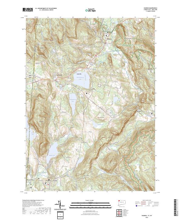 2024 Sharon2024 Print · USGSLitchfield County's northwestern corner is shown here in the 2020s, where the Taconic ridges meet historic village centers. Researchers can trace the path of the Appalachian National Scenic Trail or locate legacy sites like Lime Rock Cem, Mine Mtn, and Sharon Valley.
End of results
Showing maps 1-6 of 6
Top cities near Ore Hill
- Dover historical maps
- Litchfield historical maps
- Great Barrington historical maps
- Claverack historical maps
- Union Vale historical maps
- Washington historical maps
See more
Frequently asked questions
- What are the different types of historical maps available for Ore Hill?
- What is the oldest map of Ore Hill?
- Where can I purchase historical maps of Ore Hill for my home or office?
- Where can I download high-res historical maps of Ore Hill?
- Are there historical topographic maps available for Ore Hill?
- Is there historical aerial imagery available for Ore Hill?
- Where are historical maps of Ore Hill sourced from?