2020s Maps of South Central Connecticut Planning Region, Connecticut
Explore 37 historic maps of South Central Connecticut Planning Region from the 2020s. These maps offer a rare glimpse into what life looked like during the 2020s — showing old roads, neighborhoods, homes, and landmarks that have changed or disappeared over time.
Whether you're researching your family's past, planning a metal detecting trip, or studying how South Central Connecticut Planning Region's landscape evolved across the 2020s, these high-resolution maps are a powerful tool for exploring the history of this region.
- Focus on a specific era: All maps on this page are from the 2020s, giving you a focused view of this time period.
- See what’s changed: Compare century-old streets, trails, and buildings to today's modern landscape using overlays and satellite layers.
- Research with precision: Use these maps for genealogy, historical research, land use analysis, or educational projects.
- View, download, or print: Maps are fully viewable online in high resolution, and can be downloaded or printed for your own records.
Start exploring South Central Connecticut Planning Region's history through authentic maps from the 2020s. This is your window into the past.
South Central Connecticut Planning Region, CT maps
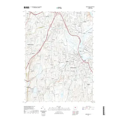
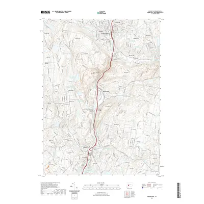
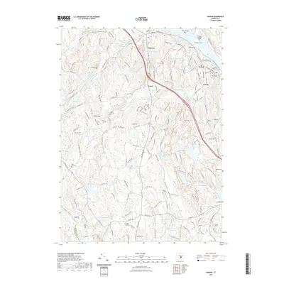
(37)- 2021 Map of Wallingford, 2021 Print
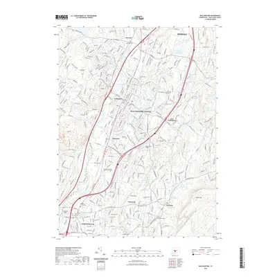 2021 Wallingford2021 Print · USGSCovers South Central Connecticut Planning Region, including Meriden, Hamden, and other nearby areas
 - 2021 Map of Durham, 2021 Print
 2021 Durham2021 Print · USGSCovers South Central Connecticut Planning Region, including Meriden, Middletown, and other nearby areas
 - 2021 Map of Milford, 2021 Print
 2021 Milford2021 Print · USGSCovers South Central Connecticut Planning Region, including Milford, Stratford, and other nearby areas
 - 2021 Map of Mount Carmel, 2021 Print
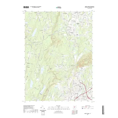 2021 Mount Carmel2021 Print · USGSCovers South Central Connecticut Planning Region, including Hamden, Wallingford, and other nearby areas
 - 2021 Map of Clinton OE S, 2021 Print
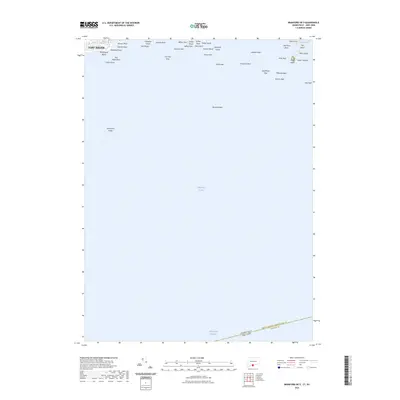
 2021 Clinton OE S2021 Print · USGSCovers South Central Connecticut Planning Region, including Southold, Madison, and other nearby areas
 - 2021 Map of Middletown, 2021 Print
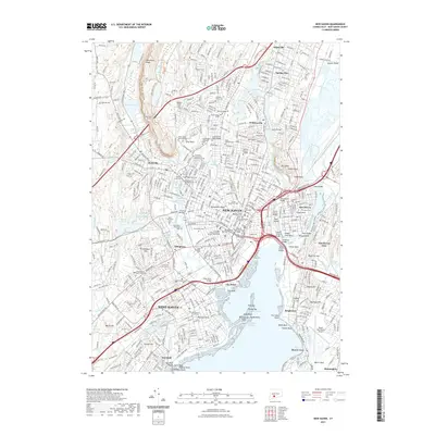
 2021 Middletown2021 Print · USGSCovers South Central Connecticut Planning Region, including Meriden, Middletown, and other nearby areas
 - 2021 Map of New Haven, 2021 Print
 2021 New Haven2021 Print · USGSCovers South Central Connecticut Planning Region, including New Haven, Hamden, and other nearby areas
 - 2021 Map of Branford OE S, 2021 Print
 2021 Branford OE S2021 Print · USGSCovers South Central Connecticut Planning Region, including Riverhead, Branford, and other nearby areas
 - 2021 Map of Clinton, 2021 Print
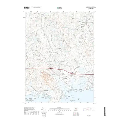
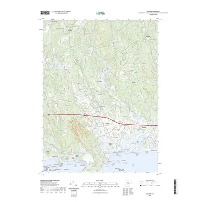
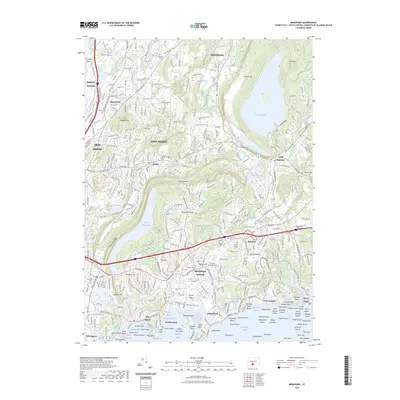
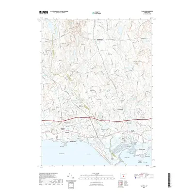 2021 Clinton2021 Print · USGSCovers South Central Connecticut Planning Region, including Madison, Clinton, and other nearby areas
 - 2021 Map of Naugatuck, 2021 Print
 2021 Naugatuck2021 Print · USGSCovers South Central Connecticut Planning Region, including Naugatuck, Seymour, and other nearby areas
 - 2021 Map of Meriden, 2021 Print
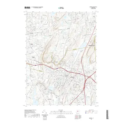 2021 Meriden2021 Print · USGSCovers South Central Connecticut Planning Region, including Meriden, Middletown, and other nearby areas
 - 2021 Map of Guilford, 2021 Print
 2021 Guilford2021 Print · USGSCovers South Central Connecticut Planning Region, including Branford, Guilford, and other nearby areas
 - 2021 Map of Ansonia, 2021 Print
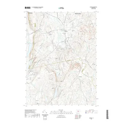
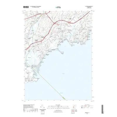
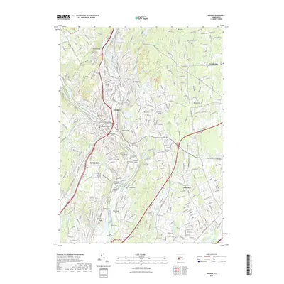 2021 Ansonia2021 Print · USGSCovers South Central Connecticut Planning Region, including Milford, Stratford, and other nearby areas
 - 2021 Map of Guilford OE S, 2021 Print
 2021 Guilford OE S2021 Print · USGSCovers South Central Connecticut Planning Region, including Riverhead, Branford, and other nearby areas
 - 2021 Map of Haddam, 2021 Print
 2021 Haddam2021 Print · USGSCovers South Central Connecticut Planning Region, including Madison, Haddam, and other nearby areas
 - 2021 Map of Branford, 2021 Print
 2021 Branford2021 Print · USGSCovers South Central Connecticut Planning Region, including New Haven, Hamden, and other nearby areas
 - 2021 Map of Woodmont, 2021 Print
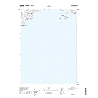 2021 Woodmont2021 Print · USGSCovers South Central Connecticut Planning Region, including New Haven, West Haven, and other nearby areas
 - 2023 Map of Branford OE S, 2023 Print
 2023 Branford OE S2023 Print · USGSCovers South Central Connecticut Planning Region, including Riverhead, Branford, and other nearby areas
 - 2023 Map of Guilford, 2023 Print
 2023 Guilford2023 Print · USGSCovers South Central Connecticut Planning Region, including Branford, Guilford, and other nearby areas
 - 2023 Map of Branford, 2023 Print
 2023 Branford2023 Print · USGSCovers South Central Connecticut Planning Region, including New Haven, Hamden, and other nearby areas
 - 2024 Map of Guilford OE S, 2024 Print
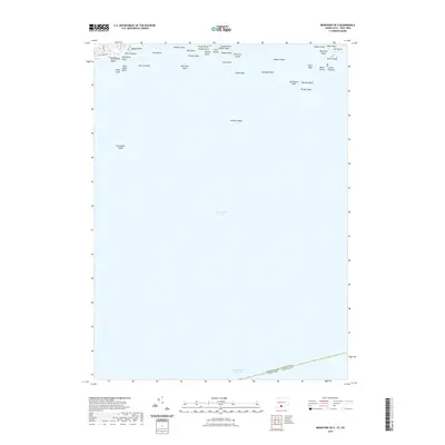
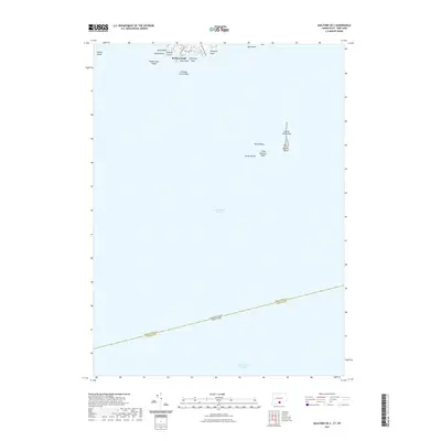
 2024 Guilford OE S2024 Print · USGSThe Connecticut coast near New Haven is captured in this recent survey, focusing on the maritime interface where the mainland meets the sound. Maritime historians can trace the positions of prominent hazards and shelters like Falkner Island, Sachem Head, and Bloody Cove.
 - 2024 Map of Clinton, 2024 Print
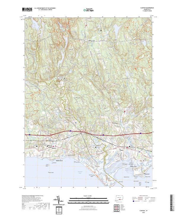 2024 Clinton2024 Print · USGSCoastal Middlesex County is detailed here during its modern development, spanning the shoreline between Madison Center and Clinton. Genealogists can locate several historic burial grounds including Evergreen Cem East and Indian River Cem, alongside landmarks like Hammonasset Beach State Park.
 - 2024 Map of Branford OE S, 2024 Print
 2024 Branford OE S2024 Print · USGSThe Connecticut shoreline and its maritime hazards are meticulously detailed in this recent coastal survey. Researchers can trace the protected islands of the Stewart B McKinney National Wildlife Refuge and locate landings like Momauguin Beach and Money Island.
 - 2024 Map of Ansonia, 2024 Print
 2024 Ansonia2024 Print · USGSThe industrial river valleys of New Haven County are shown in detail as they appear today, centered on the historic confluence at Derby and Ansonia. Genealogists can trace deep local roots at the Old Derby Uptown Burying Ground and the Three Saints Russian Orthodox Cem.
 - 2024 Map of Milford, 2024 Print
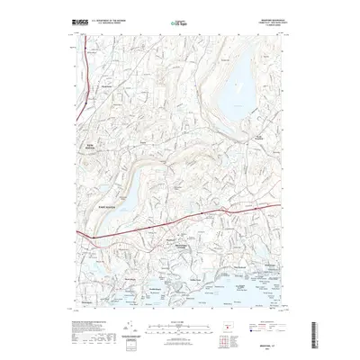
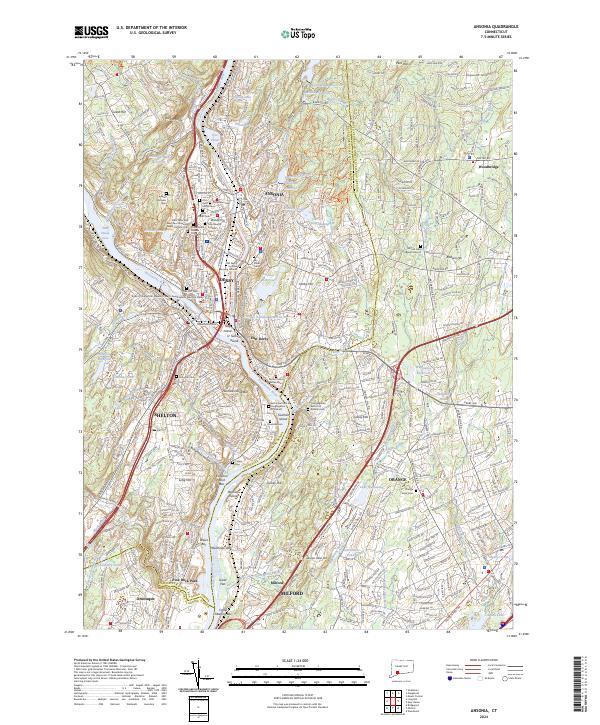
 2024 Milford2024 Print · USGSModern-day Milford and Stratford sit at the mouth of the Housatonic River in this contemporary survey of the Connecticut coast. Genealogists and historians can trace shoreline developments and family markers at Milford Cem, Fort Trumbull, and Lordship.
Showing maps 1-25 of 37
Top cities of South Central Connecticut Planning Region
- New Haven historical maps
- Meriden historical maps
- Hamden historical maps
- West Haven historical maps
- Milford historical maps
- Wallingford historical maps
See more
Frequently asked questions
- What are the different types of historical maps available for South Central Connecticut Planning Region?
- What is the oldest map of South Central Connecticut Planning Region?
- Where can I purchase historical maps of South Central Connecticut Planning Region for my home or office?
- Where can I download high-res historical maps of South Central Connecticut Planning Region?
- Are there historical topographic maps available for South Central Connecticut Planning Region?
- Is there historical aerial imagery available for South Central Connecticut Planning Region?
- Where are historical maps of South Central Connecticut Planning Region sourced from?