Old Maps of Branford, Connecticut for Hiking & Exploration
Hike through history with 36 historic maps of Branford. Explore old trails, ghost towns, and forgotten backroads — perfect for outdoor adventurers and local explorers.
- Rediscover forgotten places: Map out old mining camps, roads, and footpaths that no longer exist on modern maps.
- Layer with modern tools: Combine with LiDAR or satellite views to plan hikes through historical terrain.
- Made for exploration: Popular among hikers, overlanders, and local history lovers.
Use these maps to find adventure and explore the hidden past of Branford.
Branford, CT maps
(36)- 1892 Map of New Haven
 1892 New Haven1892 Print · USGSNew Haven and its coastal surrounds are captured here during a peak era of rail-and-maritime trade. Genealogists and historians can trace the early industrial development of Whitneyville, the shorefront at Savin Rock, and the strategic position of Fort Hale.13 unique versions available
 - 1893 Map of Guilford
 1893 Guilford1893 Print · USGSCoastal Middlesex County comes to life in the late nineteenth century, showing the early rail-connected growth of shoreline and interior villages. Genealogists can trace family landmarks and forgotten stops like Sachems Head Station, Nut Plains, and Nineveh Falls.8 unique versions available
 - 1921 Map of New Haven
 1921 New Haven1921 Print · USGSNew Haven and its harbor appear in the early twenties as a thriving industrial and maritime hub. Genealogists and historians can trace rail-era neighborhoods and shoreline landmarks like Savin Rock, Fair Haven, and the Mt. Carmel Sta. depot.
 - 1947 Map of Hartford, 1955 Print
 1947 Hartford1955 Print · USGSSouthern New England and the Hudson Valley are shown in detail during the post-war expansion era. Genealogists and researchers can trace local landmarks from the State Capitol and Yale University to the Stratford Lighthouse and Woodlawn Cem.2 unique versions available
 - 1948 Map of Hartford
 1948 Hartford1948 Print · USGSSouthern New England is captured here in the late 1940s, showcasing a landscape of thriving industrial cities and developing parkways. Genealogists and historians can trace the rail networks of the New York New Haven and Hartford RR or locate coastal defense sites like Fort Terry and Camp Shanks.2 unique versions available
 - 1954 Map of Guilford, 1956 Print
 1954 Guilford1956 Print · USGSCoastal New Haven County is shown here in the mid-fifties, capturing the balance between the deep woods of the Cockaponset State Forest and the bustling Guilford shore. Genealogists and researchers can trace family landmarks like the Calvin Leete Sch or explore the jagged shoreline at Sachems Head and Stony Creek.4 unique versions available
 - 1954 Map of Branford, 1956 Print
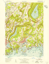 1954 Branford1956 Print · USGSThe Branford shoreline and New Haven outskirts are shown in the mid-fifties, just as coastal growth was accelerating. Local historians can trace the rail corridors of the New York New Haven and Hartford RR or locate family sites near Rabbit Rock and Momauguin Beach.3 unique versions available
 - 1961 Map of Hartford
 1961 Hartford1961 Print · USGSSouthern New England and the Hudson Valley are shown here in the mid-fifties, capturing a landscape of booming coastal cities and interior hill towns. Researchers can trace the legacy of the New York New Haven and Hartford rail corridor and find strategic sites like Camp Shanks and Fort Michie.
 - 1962 Map of Hartford, 1971 Print
 1962 Hartford1971 Print · USGSSouthern New England and the Hudson Valley are shown in the early sixties, as suburban growth reached into the foothills. Trace the path of the New York New Haven & Hartford RR and find landmarks like Camp Nathan Hale and Gillette Castle State Park.3 unique versions available
 - 1965 Map of Hartford
 1965 Hartford1965 Print · USGSSouthern New England and the Hudson Valley are shown here during the mid-sixties expansion of the Interstate era. Trace the path of the New York New Haven & Hartford RR or locate historic landmarks like West Point Military Reservation and the Merritt Parkway.2 unique versions available
 - 1967 Map of Branford, 1970 Print
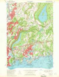 1967 Branford1970 Print · USGSCoastal Connecticut at the end of the sixties shows a landscape of growing suburban corridors and quiet rocky harbors. Genealogists and historians can trace family locations through numerous landmarks like All Saints Cemetery, Pine Orchard, and the scattered islands of The Thimbles.4 unique versions available
 - 1968 Map of Guilford, 1970 Print
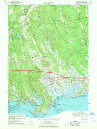 1968 Guilford1970 Print · USGSThe Connecticut shoreline in the late sixties reveals a landscape of rocky coastal islands and expanding post-war infrastructure. Trace family roots at St Johns Cem, explore the granite coast of Stony Creek, or locate the historic Guilford Sta.5 unique versions available
 - 1983 Map of New Haven, 1985 Print
 1983 New Haven1985 Print · USGSThe Connecticut shoreline and eastern Long Island are documented here in the early eighties, from the streets of New Haven to the piers of New London. Genealogists and historians can trace the geography of maritime heritage and academia at Yale University and the U.S. Coast Guard Academy.2 unique versions available
 - 2012 Map of Guilford, 2012 Print
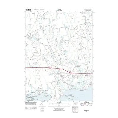 2012 Guilford2012 Print · USGSCoastal Connecticut comes alive in the early twenty-first century as the rail corridor and historic village centers meet the Long Island Sound. Genealogists and historians can locate Saint Johns Cem, Leetes Island, and the many islands of Stony Creek.
 - 2012 Map of Guilford OE S, 2012 Print
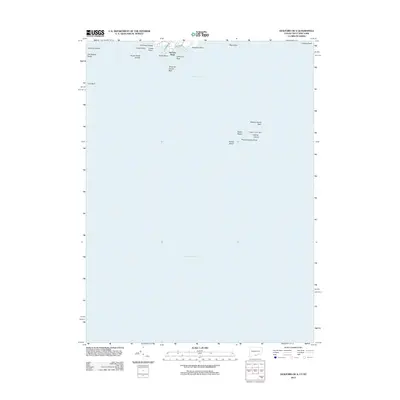 2012 Guilford OE S2012 Print · USGSLong Island Sound and the maritime approaches to the Connecticut shore are documented here in the early twenty-first century. Nautical researchers and local historians can locate offshore landmarks like Falkner Island Light and named coastal features such as Sachem Head and Bloody Cove.
 - 2012 Map of Branford OE S, 2012 Print
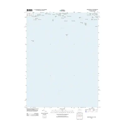 2012 Branford OE S2012 Print · USGSThe Connecticut coast meets the sea in the early 2010s, revealing a shoreline shaped by residential beach communities and an intricate archipelago. Boaters and local historians can locate specific maritime landmarks like Money Island, Momauguin Beach, and Spectacle Island.
 - 2012 Map of Branford, 2012 Print
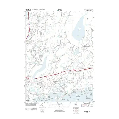 2012 Branford2012 Print · USGSCoastal Connecticut comes into focus in the early twenty-first century, showing the established neighborhoods and shorefront of the New Haven area. Genealogists and historians can trace local family landmarks at Branford Center Cem, the Trolley Museum, and Pine Orchard.
 - 2015 Map of Branford, 2015 Print
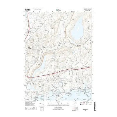 2015 Branford2015 Print · USGSCoastal Connecticut is shown at a point of high modern density, from the harbors of Indian Neck to the inland ridges. Researchers can trace the layout of old burial grounds like Tabor Cem and explore the rugged island groups of Stony Creek.
 - 2015 Map of Guilford, 2015 Print
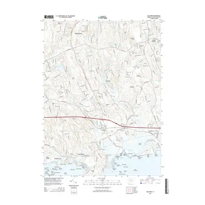 2015 Guilford2015 Print · USGSCoastal Connecticut in the mid-2010s shows a landscape of historic shorefronts and rocky islands. Genealogists and historians can trace family locations near Stony Creek, Leetes Island, and several local grounds like Alderbrook Cem and Nut Plains Cem.
 - 2015 Map of Branford OE S, 2015 Print
 2015 Branford OE S2015 Print · USGSCoastal Connecticut and the waters of the sound are captured here in the mid-2010s, showing the intersection of residential beach communities and rugged maritime geography. Local researchers can trace the shoreline of Momauguin Beach or identify specific offshore landmarks like Money Island and Spectacle Island.
 - 2015 Map of Guilford OE S, 2015 Print
 2015 Guilford OE S2015 Print · USGSCoastal Connecticut and the waters of the sound are charted here during the mid-2010s, capturing the maritime boundary with New York. Nautical researchers can locate specific offshore landmarks like Falkner Island, Chimney Corner Reef, and Uncas Point.
 - 2018 Map of Branford OE S, 2018 Print
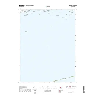 2018 Branford OE S2018 Print · USGSThe northern reaches of Long Island Sound appear in high detail during the late twenty-teens, showing the dense network of reefs and islands along the coast. Trace maritime landmarks and hazards from Momauguin Beach out to Branford Reef and Spectacle Island.
 - 2018 Map of Branford, 2018 Print
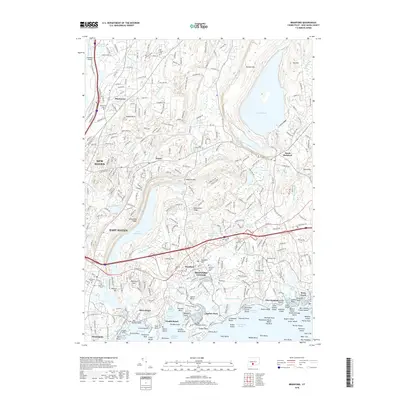 2018 Branford2018 Print · USGSThe Connecticut coast and the neighborhoods of New Haven County appear here in high detail during the late twenty-tens. Researchers can trace local genealogy through numerous burial sites like Tabor Cemetery or explore the rocky shoreline of Stony Creek and The Thimbles.
 - 2018 Map of Guilford OE S, 2018 Print
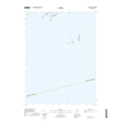 2018 Guilford OE S2018 Print · USGSLong Island Sound and the maritime border of Connecticut and New York are captured here in the late twenty-tens. Nautical researchers can pinpoint coastal landmarks like Sachem Head and offshore hazards including Falkner Island Reef and Three Quarters Rock.
 - 2018 Map of Guilford, 2018 Print
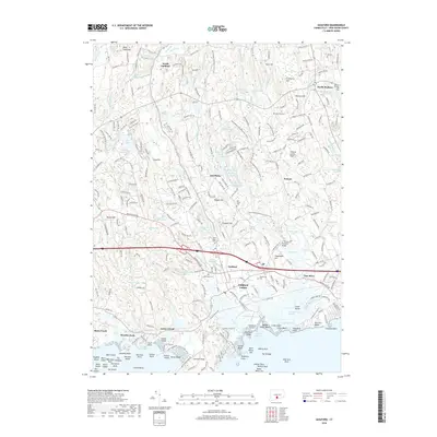 2018 Guilford2018 Print · USGSThe Connecticut shoreline around Guilford and Stony Creek is captured in this modern survey of a deeply historical landscape. Genealogists and researchers can trace ancestral locations near Alderbrook Cem, the shores of Leetes Island, or the islands of The Thimbles.
Showing maps 1-25 of 36
Top cities near Branford
- Brookhaven historical maps
- New Haven historical maps
- Meriden historical maps
- Hamden historical maps
- West Haven historical maps
- Milford historical maps
See more
Top neighborhoods of Branford
- Branford Hills historical maps
- Double Beach historical maps
- Hoadley Neck historical maps
- Indian Neck historical maps
- Short Beach historical maps
- Stony Creek historical maps
See more
Frequently asked questions
- What are the different types of historical maps available for Branford?
- What is the oldest map of Branford?
- Where can I purchase historical maps of Branford for my home or office?
- Where can I download high-res historical maps of Branford?
- Are there historical topographic maps available for Branford?
- Is there historical aerial imagery available for Branford?
- Where are historical maps of Branford sourced from?