Old Maps of North Haven, Connecticut for Academic Research
Study the evolution of North Haven with 38 high-resolution historic maps. Whether you're teaching, researching, or modeling changes in land use, these maps provide essential visual documentation of urban, environmental, and geographic change.
- Analyze long-term change: Track patterns in development, transportation, and natural features.
- Ideal for environmental or urban studies: Support academic projects with primary historical map data.
- Use in the classroom or lab: Educators and researchers rely on these maps to bring historical context to life.
These maps are a powerful tool for teaching, research, and visualizing how North Haven has changed over the decades.
North Haven, CT maps
(38)- 1892 Map of New Haven
 1892 New Haven1892 Print · USGSNew Haven and its coastal surrounds are captured here during a peak era of rail-and-maritime trade. Genealogists and historians can trace the early industrial development of Whitneyville, the shorefront at Savin Rock, and the strategic position of Fort Hale.13 unique versions available
 - 1921 Map of New Haven
 1921 New Haven1921 Print · USGSNew Haven and its harbor appear in the early twenties as a thriving industrial and maritime hub. Genealogists and historians can trace rail-era neighborhoods and shoreline landmarks like Savin Rock, Fair Haven, and the Mt. Carmel Sta. depot.
 - 1943 Map of New Haven, 1947 Print
 1943 New Haven1947 Print · USGSGreater New Haven at the height of the mid-forties reveals a thriving industrial port city and academic center. Researchers can trace the legacy of Yale University, locate the amusement piers of Savin Rock, and explore the shoreline from Sandy Pt to the New Haven Airport.2 unique versions available
 - 1947 Map of Hartford, 1955 Print
 1947 Hartford1955 Print · USGSSouthern New England and the Hudson Valley are shown in detail during the post-war expansion era. Genealogists and researchers can trace local landmarks from the State Capitol and Yale University to the Stratford Lighthouse and Woodlawn Cem.2 unique versions available
 - 1948 Map of Hartford
 1948 Hartford1948 Print · USGSSouthern New England is captured here in the late 1940s, showcasing a landscape of thriving industrial cities and developing parkways. Genealogists and historians can trace the rail networks of the New York New Haven and Hartford RR or locate coastal defense sites like Fort Terry and Camp Shanks.2 unique versions available
 - 1954 Map of New Haven, 1956 Print
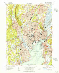 1954 New Haven1956 Print · USGSNew Haven and the surrounding shoreline communities are shown here in the mid-fifties during a period of significant urban density and coastal development. Researchers can trace the layout of Yale University and find historic landmarks like Savin Rock, Judges Cave, and the Yale Bowl.6 unique versions available
 - 1954 Map of Mount Carmel, 1956 Print
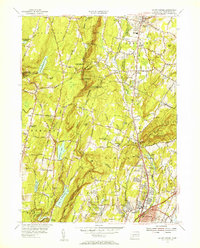 1954 Mount Carmel1956 Print · USGSHamden and Cheshire are shown here in the mid-fifties, just as the Wilbur Cross Parkway was shaping modern travel through these valleys. Trace family roots at Hillside Cemetery or explore the rail era along the New York New Haven and Hartford Railroad.3 unique versions available
 - 1954 Map of Wallingford, 1956 Print
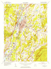 1954 Wallingford1956 Print · USGSThe Quinnipiac River valley in the mid-1950s shows the bustling center of Wallingford alongside its growing suburban neighborhoods. Trace local family roots at St Johns Cem or locate historic landmarks like the Gaylord Farms Sanatorium and Lyman Hall High Sch.3 unique versions available
 - 1954 Map of Branford, 1956 Print
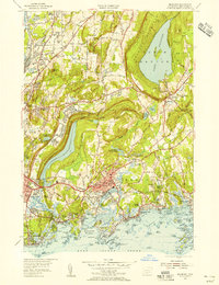 1954 Branford1956 Print · USGSThe Branford shoreline and New Haven outskirts are shown in the mid-fifties, just as coastal growth was accelerating. Local historians can trace the rail corridors of the New York New Haven and Hartford RR or locate family sites near Rabbit Rock and Momauguin Beach.3 unique versions available
 - 1961 Map of Hartford
 1961 Hartford1961 Print · USGSSouthern New England and the Hudson Valley are shown here in the mid-fifties, capturing a landscape of booming coastal cities and interior hill towns. Researchers can trace the legacy of the New York New Haven and Hartford rail corridor and find strategic sites like Camp Shanks and Fort Michie.
 - 1962 Map of Hartford, 1971 Print
 1962 Hartford1971 Print · USGSSouthern New England and the Hudson Valley are shown in the early sixties, as suburban growth reached into the foothills. Trace the path of the New York New Haven & Hartford RR and find landmarks like Camp Nathan Hale and Gillette Castle State Park.3 unique versions available
 - 1965 Map of Hartford
 1965 Hartford1965 Print · USGSSouthern New England and the Hudson Valley are shown here during the mid-sixties expansion of the Interstate era. Trace the path of the New York New Haven & Hartford RR or locate historic landmarks like West Point Military Reservation and the Merritt Parkway.2 unique versions available
 - 1967 Map of New Haven, 1970 Print
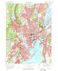 1967 New Haven1970 Print · USGSNew Haven and its neighboring towns appear here in the late sixties, showing a dense coastal city shaped by its famous university and river system. Genealogists can locate family sites near St Lawrence Cemetery, Spring Glen, or the Eli Whitney Technical Sch.5 unique versions available
 - 1967 Map of Branford, 1970 Print
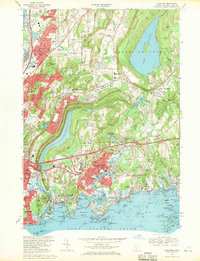 1967 Branford1970 Print · USGSCoastal Connecticut at the end of the sixties shows a landscape of growing suburban corridors and quiet rocky harbors. Genealogists and historians can trace family locations through numerous landmarks like All Saints Cemetery, Pine Orchard, and the scattered islands of The Thimbles.4 unique versions available
 - 1967 Map of Mount Carmel, 1970 Print
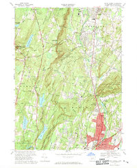 1967 Mount Carmel1970 Print · USGSHamden and Cheshire are captured during a period of mid-century suburban expansion in New Haven County. Researchers can trace historic family plots at Old Bethany Cem, locate Quinnipiac College, and see the early layout of Sleeping Giant State Park.5 unique versions available
 - 1967 Map of Wallingford, 1971 Print
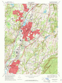 1967 Wallingford1971 Print · USGSWallingford and the Quinnipiac River valley are shown here in the mid-sixties as post-war suburban growth met established industrial and medical institutions. Researchers can trace historic properties like Choate Sch, the Masonic Cem, and the Gaylord Farms Sanatorium.3 unique versions available
 - 1983 Map of New Haven, 1985 Print
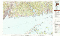 1983 New Haven1985 Print · USGSThe Connecticut shoreline and eastern Long Island are documented here in the early eighties, from the streets of New Haven to the piers of New London. Genealogists and historians can trace the geography of maritime heritage and academia at Yale University and the U.S. Coast Guard Academy.2 unique versions available
 - 2012 Map of Mount Carmel, 2012 Print
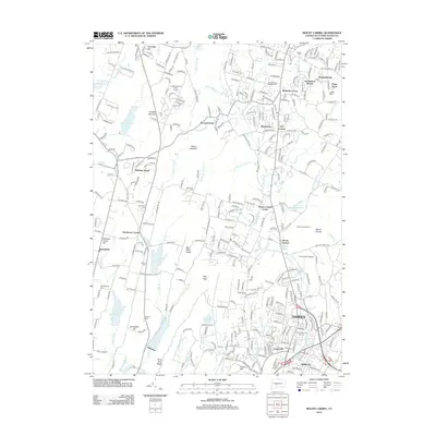 2012 Mount Carmel2012 Print · USGSHamden and Bethany are shown in detail during the early 21st century, where industrial history and university expansion meet the ridge-and-valley landscape. Genealogists can trace early families at the Central Burying Grounds and Old Bethany Cem near West Rock Ridge.
 - 2012 Map of New Haven, 2012 Print
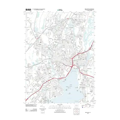 2012 New Haven2012 Print · USGSNew Haven and its harbor appear here in the early 21st century, showing the established urban core alongside its famous geologic ridges. Researchers can trace the layout of Yale University, locate family sites in Evergreen Cem, or study the maritime landmarks of Long Island Sound.
 - 2012 Map of Wallingford, 2012 Print
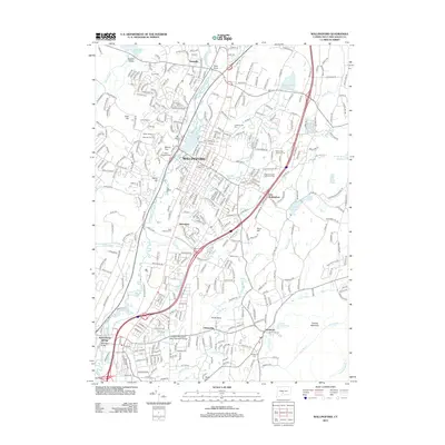 2012 Wallingford2012 Print · USGSWallingford and the Quinnipiac River valley are shown here at the start of the 2010s during a period of dense suburban and industrial growth. Genealogists can trace local burials at Saint Casimirs Cem or In Memoriam Cem and locate landmarks like the YMCA Camp.
 - 2012 Map of Branford, 2012 Print
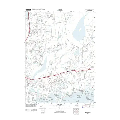 2012 Branford2012 Print · USGSCoastal Connecticut comes into focus in the early twenty-first century, showing the established neighborhoods and shorefront of the New Haven area. Genealogists and historians can trace local family landmarks at Branford Center Cem, the Trolley Museum, and Pine Orchard.
 - 2015 Map of Branford, 2015 Print
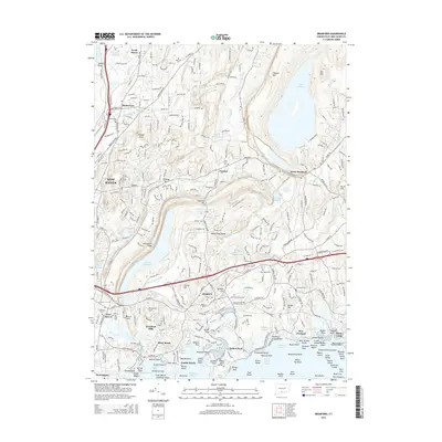 2015 Branford2015 Print · USGSCoastal Connecticut is shown at a point of high modern density, from the harbors of Indian Neck to the inland ridges. Researchers can trace the layout of old burial grounds like Tabor Cem and explore the rugged island groups of Stony Creek.
 - 2015 Map of Mount Carmel, 2015 Print
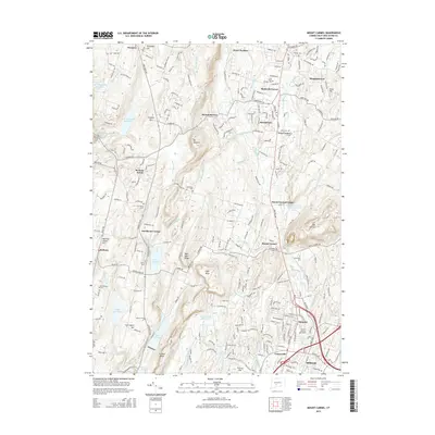 2015 Mount Carmel2015 Print · USGSThe valleys and ridges of South Central Connecticut are shown here in the mid-2010s, centered on the corridor between Bethany and Hamden. Genealogists and local historians can trace legacy sites like the Central Burying Grounds, the Old Mill, and Quinnipiac University.
 - 2015 Map of New Haven, 2015 Print
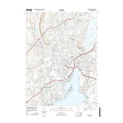 2015 New Haven2015 Print · USGSNew Haven and the surrounding coast are shown in high detail during the mid-2010s, capturing the dense urban grid alongside the waters of Long Island Sound. Researchers can trace institutional boundaries at Yale Univ, locate historic graves at Grove Street Cem, or explore the unique transit corridor of the West Rock Tunnel.
 - 2015 Map of Wallingford, 2015 Print
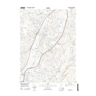 2015 Wallingford2015 Print · USGSThe Quinnipiac River valley in the mid-2010s shows a unique blend of suburban growth and industrial heritage. Genealogists and historians can trace numerous legacy sites, from the In Memoriam Cem and Center Cem to landmarks like Smith Rock and Metacomet Ridge.
Showing maps 1-25 of 38
Top cities near North Haven
- New Haven historical maps
- Waterbury historical maps
- Meriden historical maps
- Hamden historical maps
- West Haven historical maps
- Milford historical maps
See more
Top neighborhoods of North Haven
- Millbrook historical maps
- Montowese historical maps
- North Haven Bridge historical maps
- Pines Bridge Historic District historical maps
- Augerville historical maps
Frequently asked questions
- What are the different types of historical maps available for North Haven?
- What is the oldest map of North Haven?
- Where can I purchase historical maps of North Haven for my home or office?
- Where can I download high-res historical maps of North Haven?
- Are there historical topographic maps available for North Haven?
- Is there historical aerial imagery available for North Haven?
- Where are historical maps of North Haven sourced from?