Old Maps of New Fairfield, Connecticut for Academic Research
Study the evolution of New Fairfield with 53 high-resolution historic maps. Whether you're teaching, researching, or modeling changes in land use, these maps provide essential visual documentation of urban, environmental, and geographic change.
- Analyze long-term change: Track patterns in development, transportation, and natural features.
- Ideal for environmental or urban studies: Support academic projects with primary historical map data.
- Use in the classroom or lab: Educators and researchers rely on these maps to bring historical context to life.
These maps are a powerful tool for teaching, research, and visualizing how New Fairfield has changed over the decades.
New Fairfield, CT maps
(53)- 1892 Map of Danbury
 1892 Danbury1892 Print · USGSFairfield County thrived as a railroad and industrial hub in the late nineteenth century. Genealogists and researchers can trace old neighborhoods in Danbury and Bethel, or locate landmarks like the Putnam Monument and Sandy Hook Station.11 unique versions available
 - 1892 Map of New Milford
 1892 New Milford1892 Print · USGSLitchfield County in the late nineteenth century is defined by the steep valleys of the Housatonic and Shepaug rivers. Genealogists and researchers can trace the rail-and-river economy through landmarks like Housatonic Railroad, Boardmans Bridge, and Washington Green.
 - 1892 Map of Carmel
 1892 Carmel1892 Print · USGSThe Putnam and Westchester borderlands are captured here in the late 1800s, showcasing a landscape of critical rail junctions and expanding reservoirs. Genealogists and historians can trace family-named sites like Coles Mills and Towner, or follow the industrial activity at the Tilly Foster Mine.
 - 1893 Map of Carmel
 1893 Carmel1893 Print · USGSLower New York and western Connecticut appear here in the final decade of the nineteenth century, as the Croton watershed was being engineered for the city. Genealogists and historians can trace rail lines like the Mahopac Branch and find local landmarks such as the Tilly Foster Mine and Somers Center.
 - 1893 Map of New Milford
 1893 New Milford1893 Print · USGSLitchfield County's river valleys and hills are captured here in the late nineteenth century, showing the region's development before modern expansion. Genealogists can trace the rail-and-river network through historic depots like Merwinsville and old village centers including Washington Green and Bridgewater.2 unique versions available
 - 1893 Map of Clove
 1893 Clove1893 Print · USGSDutchess County and the Connecticut border come to life in the 1890s, when iron furnaces and rural depots still defined the landscape. Trace the tracks of the Columbia and Clove R.R. and find old family landmarks like Crouse Store and Moore Mill.
 - 1894 Map of Clove
 1894 Clove1894 Print · USGSDutchess County at the close of the nineteenth century was a land of steep ridges and vital rail corridors. Genealogists and local historians can trace family locations near Dover Furnace, Clove Valley, and rural landmarks like Crouse Store.
 - 1894 Map of Carmel
 1894 Carmel1894 Print · USGSLower New York and western Connecticut appear here in the late nineteenth century as the Croton watershed was being heavily reshaped. Researchers can trace the early footprints of Brewster, the depths of the Tilly Foster Mine, and the original rail paths of the Mahopac Branch.8 unique versions available
 - 1898 Map of Clove
 1898 Clove1898 Print · USGSDutchess County and the Connecticut borderlands are captured here in the late nineteenth century as railroads fueled the growth of valley towns. Genealogists and historians can trace family locations in Verbank Village, Stormville, and near landmarks like Bulls Bridge.
 - 1901 Map of Clove
 1901 Clove1901 Print · USGSDutchess County and the Connecticut borderlands are captured here at the close of the nineteenth century as the rail corridors began to shape local commerce. Genealogists can trace family holdings and old junctions from Dover Plains to Stormville and Moores Mill.11 unique versions available
 - 1904 Map of New Milford
 1904 New Milford1904 Print · USGSLitchfield County at the close of the nineteenth century is defined by the industrial valleys of the Housatonic River and the rural reaches of Washington. Researchers can trace the era's infrastructure through landmarks like Kent Furnace, the Berkshire Division rail line, and the village at Roxbury Station.8 unique versions available
 - 1904 Map of Litchfield
 1904 Litchfield1904 Print · USGSThe Litchfield Hills at the turn of the century are shown here as a landscape of iron heritage and river-powered industry. Genealogists and historians can locate old industrial sites like Kent Furnace, ancestral homes near Sharon Valley, and early rail stops at Limerock Sta..3 unique versions available
 - 1915 Map of Danbury, 1921 Print
 1915 Danbury1921 Print · USGSFairfield County in the early twentieth century was a hub of railway activity and village life. Genealogists and historians can trace the tracks of the Housatonic Railroad and locate local landmarks like the Fair Grounds or the Putnam Monument.
 - 1928 Map of Carmel
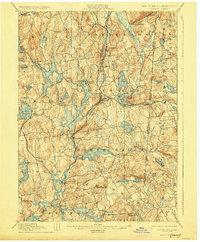 1928 Carmel1928 Print · USGSNear the New York and Connecticut border during the late 1920s, this landscape shows a network of massive reservoirs built to serve the city. Genealogists and historians can trace rail-era developments like the New York and Harlem RR and locate sites such as the Tilly Foster Mine and Farmers Mills.5 unique versions available
 - 1943 Map of Brewster, 1956 Print
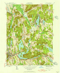 1943 Brewster1956 Print · USGSThe New York and Connecticut borderlands appear here in the 1940s, showcasing a landscape defined by the Croton Watershed's massive reservoirs. Researchers can trace ancestral locations from Sodom to Milltown, or locate landmarks like Big Elm Sch and Beaver Bog Ch.2 unique versions available
 - 1945 Map of Pawling, 1956 Print
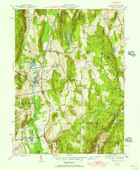 1945 Pawling1956 Print · USGSDutchess County at the close of the Second World War reveals a landscape of high ridges and significant wetlands along the New York-Connecticut border. Genealogists and local historians can trace legacy landmarks including the Quaker Hill Meeting House, the village of Pawling, and the vast expanse of The Great Swamp.2 unique versions available
 - 1946 Map of Brewster
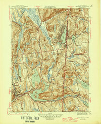 1946 Brewster1946 Print · USGSThe New York and Connecticut state line is defined by massive reservoirs and rural crossroads in the mid-forties. Genealogists can trace family legacies through Union Cem, Big Elm Sch, and the uniquely named settlement of Sodom.2 unique versions available
 - 1947 Map of Pawling
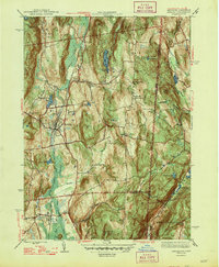 1947 Pawling1947 Print · USGSDutchess County at the edge of Connecticut was a landscape of highland ridges and river valleys in the late 1940s. Genealogists can locate family landmarks such as Hurd Sch, Akins Corners, and the historic Quaker Hill Meeting House.2 unique versions available
 - 1947 Map of Hartford, 1955 Print
 1947 Hartford1955 Print · USGSSouthern New England and the Hudson Valley are shown in detail during the post-war expansion era. Genealogists and researchers can trace local landmarks from the State Capitol and Yale University to the Stratford Lighthouse and Woodlawn Cem.2 unique versions available
 - 1948 Map of Hartford
 1948 Hartford1948 Print · USGSSouthern New England is captured here in the late 1940s, showcasing a landscape of thriving industrial cities and developing parkways. Genealogists and historians can trace the rail networks of the New York New Haven and Hartford RR or locate coastal defense sites like Fort Terry and Camp Shanks.2 unique versions available
 - 1951 Map of New Milford
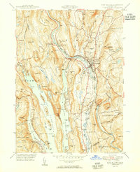 1951 New Milford1951 Print · USGSLitchfield County's river valleys and reservoirs are captured here in the early fifties, showing the area's transition into a regional recreation hub. Trace the heritage of New Milford and Sherman through landmarks like the Lime Kiln, Candlewood Cave, and the Boardman Sch.2 unique versions available
 - 1953 Map of Danbury, 1955 Print
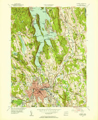 1953 Danbury1955 Print · USGSMid-century Danbury and its surrounding hills show a landscape shaped by the waters of Lake Candlewood and the Still River. Trace the early development of Candlewood Isle, the historic Danbury Fairgrounds, and the State Teachers College.2 unique versions available
 - 1955 Map of New Milford, 1956 Print
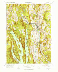 1955 New Milford1956 Print · USGSMid-century Litchfield County comes into focus as New Milford grows along the Housatonic. Genealogists and historians can trace family plots at Holy Cross Cem and Quaker Cem, or locate the Canterbury Sch and Candlewood Cave.9 unique versions available
 - 1958 Map of Pawling, 1960 Print
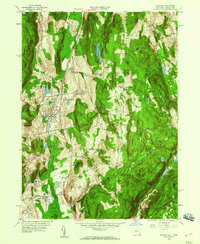 1958 Pawling1960 Print · USGSDutchess County and eastern Connecticut are mapped here in the late fifties, showing the region as the Harlem Valley railroad corridor remained central to local life. Genealogists can trace family landmarks and schools like Trinity-Pawling Sch, the Meeting House on Quaker Hill, and old junctions at Hurd Corners.4 unique versions available
 - 1958 Map of Brewster, 1960 Print
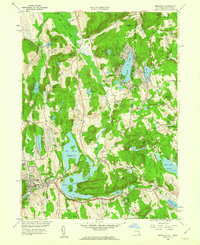 1958 Brewster1960 Print · USGSThe New York and Connecticut borderlands come alive in the late fifties as rail lines and new highways intersect among the Croton reservoirs. Genealogists and historians can trace old community ties in Sodom, Milltown, and the lakeside homes around Putnam Lake.5 unique versions available
Showing maps 1-25 of 53
Top cities near New Fairfield
- Danbury historical maps
- Trumbull historical maps
- Carmel historical maps
- East Fishkill historical maps
- Ridgebury historical maps
- Somers historical maps
See more
Top neighborhoods of New Fairfield
- Candlewood Corner historical maps
- Hollywyle Park historical maps
- Knollcrest historical maps
- Bigelow Corners historical maps
- Ball Pond historical maps
- Taylor Corners historical maps
See more
Frequently asked questions
- What are the different types of historical maps available for New Fairfield?
- What is the oldest map of New Fairfield?
- Where can I purchase historical maps of New Fairfield for my home or office?
- Where can I download high-res historical maps of New Fairfield?
- Are there historical topographic maps available for New Fairfield?
- Is there historical aerial imagery available for New Fairfield?
- Where are historical maps of New Fairfield sourced from?