Old Maps of Compo, Westport for Genealogy
Trace your family roots with 23 historic maps of Compo. These high-res maps reveal old neighborhoods, homesites, landmarks, and streets — helping you uncover where your ancestors lived and how the area evolved over time.
- Explore historic neighborhoods: Identify where your relatives may have lived in the 1800s or 1900s.
- Compare maps over time: Trace the changes in streets, buildings, and landmarks for multi-generational research.
- Perfect for genealogy & ancestry research: Used by family historians and researchers to map out lineage and migration.
These maps are an incredible resource for exploring your personal connection to Compo's past.
Compo, Westport maps
(23)- 1892 Map of Norwalk
 1892 Norwalk1892 Print · USGSThe Fairfield County coastline and its rural hinterlands are seen here in the late nineteenth century, showing the early density of harbor towns and scattered ridge-top farms. Genealogists can trace family lands near Greenfield Hill or follow the rails to the Five Mile River Sta. and Winnipauk.
 - 1893 Map of Norwalk
 1893 Norwalk1893 Print · USGSThe Connecticut coastline thrives in the 1890s as a hub of rail transit and maritime trade. Genealogists and local researchers can trace old family landmarks across Belden Hill, the historic centers of Norwalk, and the early stops of the Danbury and Norwalk R.R.12 unique versions available
 - 1947 Map of Sherwood Point
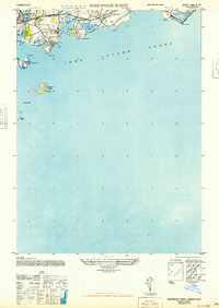 1947 Sherwood Point1947 Print · USGSCoastal Connecticut at the end of the 1940s reveals a shoreline of growing seaside communities and preserved marshlands. Researchers can trace the development of Saugatuck Shores, the historic Compo Beach, and the offshore reaches of Cockenoe Island.
 - 1947 Map of Hartford, 1955 Print
 1947 Hartford1955 Print · USGSSouthern New England and the Hudson Valley are shown in detail during the post-war expansion era. Genealogists and researchers can trace local landmarks from the State Capitol and Yale University to the Stratford Lighthouse and Woodlawn Cem.2 unique versions available
 - 1948 Map of Hartford
 1948 Hartford1948 Print · USGSSouthern New England is captured here in the late 1940s, showcasing a landscape of thriving industrial cities and developing parkways. Genealogists and historians can trace the rail networks of the New York New Haven and Hartford RR or locate coastal defense sites like Fort Terry and Camp Shanks.2 unique versions available
 - 1951 Map of Westport, 1952 Print
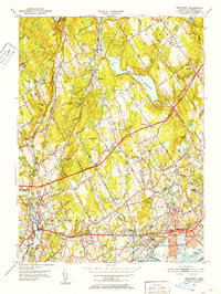 1951 Westport1952 Print · USGSFairfield and Westport appear here in the early fifties, showing a refined coastal landscape of established estates and watershed reservoirs. Genealogists and researchers can locate several burial grounds, including Gilbertown Cem and Old West Cem, alongside early academic sites like Fairfield University.5 unique versions available
 - 1951 Map of Sherwood Point, 1952 Print
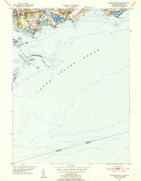 1951 Sherwood Point1952 Print · USGSThe Connecticut coast at the start of the 1950s shows a landscape of growing seaside neighborhoods and maritime heritage. Genealogists and local historians can trace family-named landmarks from Hale Court and Compo Hills to the shores of Sherwood Millpond.4 unique versions available
 - 1960 Map of Westport, 1962 Print
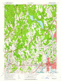 1960 Westport1962 Print · USGSFairfield and Westport appear here during the mid-century expansion of coastal Connecticut. Researchers can trace the infrastructure of the New York New Haven and Hartford Railroad and locate community anchors like Fairfield University and Aspetuck Cem.5 unique versions available
 - 1960 Map of Sherwood Point, 1962 Print
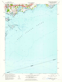 1960 Sherwood Point1962 Print · USGSThe Fairfield County coast at the start of the sixties shows a landscape of tidal inlets and growing shoreline communities. Genealogists and local historians can trace the foundations of Saugatuck, identify plots near St Marys Cem, and explore the layout of Sherwood Island State Park.2 unique versions available
 - 1961 Map of Hartford
 1961 Hartford1961 Print · USGSSouthern New England and the Hudson Valley are shown here in the mid-fifties, capturing a landscape of booming coastal cities and interior hill towns. Researchers can trace the legacy of the New York New Haven and Hartford rail corridor and find strategic sites like Camp Shanks and Fort Michie.
 - 1962 Map of Hartford, 1971 Print
 1962 Hartford1971 Print · USGSSouthern New England and the Hudson Valley are shown in the early sixties, as suburban growth reached into the foothills. Trace the path of the New York New Haven & Hartford RR and find landmarks like Camp Nathan Hale and Gillette Castle State Park.3 unique versions available
 - 1965 Map of Hartford
 1965 Hartford1965 Print · USGSSouthern New England and the Hudson Valley are shown here during the mid-sixties expansion of the Interstate era. Trace the path of the New York New Haven & Hartford RR or locate historic landmarks like West Point Military Reservation and the Merritt Parkway.2 unique versions available
 - 1986 Map of Bridgeport
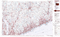 1986 Bridgeport1986 Print · USGSSpanning the New York and Connecticut border in the mid-eighties, this survey shows the dense rail and parkway network connecting the Hudson to the Sound. Researchers can trace the massive New Croton Reservoir system or locate landmarks like the West Point U.S. Military Academy.3 unique versions available
 - 2012 Map of Sherwood Point, 2012 Print
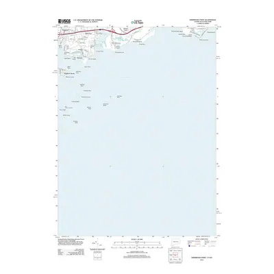 2012 Sherwood Point2012 Print · USGSCoastal Connecticut at the turn of the decade is defined by its intricate shoreline and maritime heritage. Researchers can trace the layout of waterfront neighborhoods like Saugatuck Shores or locate offshore landmarks including Peck Ledge Lighthouse and Cockenoe Reef.
 - 2012 Map of Westport, 2012 Print
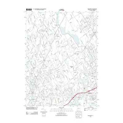 2012 Westport2012 Print · USGSCoastal Connecticut in the early twenty-first century exhibits a dense network of suburban growth around established colonial-era cores. Genealogists and historians can trace lineage and local development through several sites like Old West Cem, Southport, and Fairfield University.
 - 2015 Map of Sherwood Point, 2015 Print
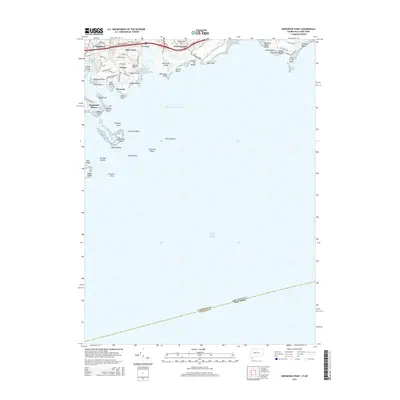 2015 Sherwood Point2015 Print · USGSThe Connecticut shoreline at the mid-decade shows a landscape of established coastal communities and island chains. Genealogists and local historians can trace property boundaries near Greens Farms or locate landmarks like Saint Marys Cem and Sherwood Island.
 - 2015 Map of Westport, 2015 Print
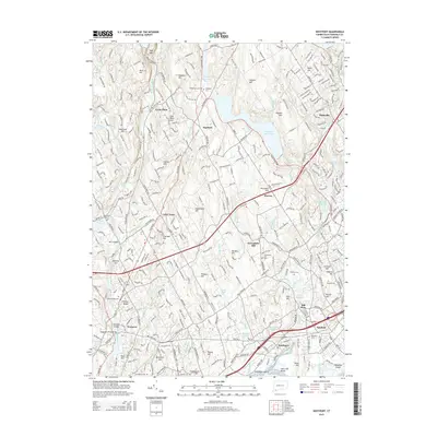 2015 Westport2015 Print · USGSThe Fairfield County coast in the mid-2010s shows a landscape of historic shore towns and inland reservoirs. Genealogists can locate family sites at Oaklawn Cem or Greenfield Hill Cem, while tracing the path of the Metro-North through Southport.
 - 2018 Map of Sherwood Point, 2018 Print
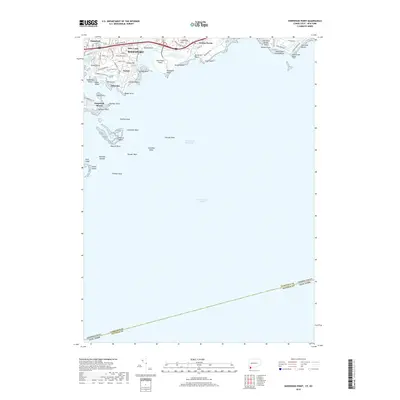 2018 Sherwood Point2018 Print · USGSCoastal Connecticut at the end of the 2010s reveals a sophisticated shoreline of historic neighborhoods and intricate tidal waterways. Researchers can trace local landmarks from Sherwood Island and Compo Beach to the offshore reaches of Cockenoe Island and Peck Ledge.
 - 2018 Map of Westport, 2018 Print
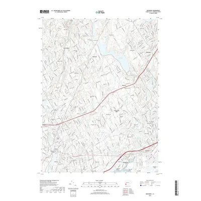 2018 Westport2018 Print · USGSCoastal Connecticut comes alive in this detailed look at the Fairfield area, where historic hilltop settlements meet the busy Long Island Sound shoreline. Genealogists and historians can trace family markers at Greenfield Hill Cem or locate the sprawling grounds of Fairfield University.
 - 2021 Map of Sherwood Point, 2021 Print
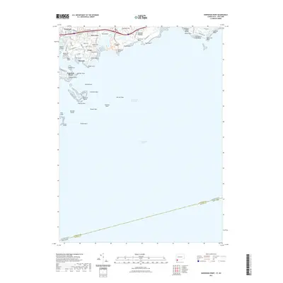 2021 Sherwood Point2021 Print · USGSThe Connecticut shoreline meets the Long Island Sound in this recent survey of the Fairfield County coast. Geologists and locals can trace the detailed bathymetry around the Norwalk Islands and modern developments at Saugatuck Shores and Sherwood Island.
 - 2021 Map of Westport, 2021 Print
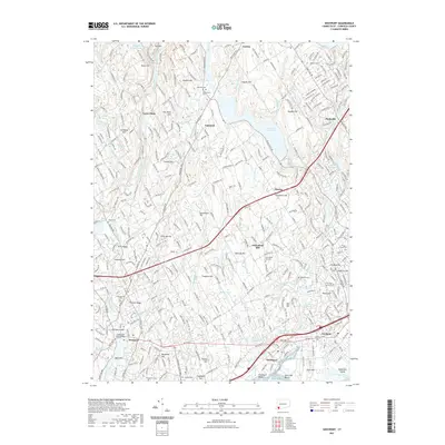 2021 Westport2021 Print · USGSCoastal Connecticut at the start of the 2020s shows a dense network of suburban development intertwined with colonial-era burial grounds. Researchers can trace historical sites from Colonial Cem to Fairfield University and the harbors at Southport and Westport.
 - 2024 Map of Sherwood Point, 2024 Print
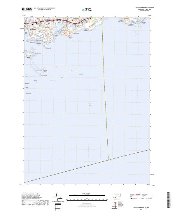 2024 Sherwood Point2024 Print · USGSThe Fairfield coast in the early twenty-first century reveals a sophisticated network of shorefront communities and protected natural spaces. Researchers can trace local landmarks from Burial Hill Beach to the residential lanes of Greens Farms and Saugatuck Shores.
 - 2024 Map of Westport, 2024 Print
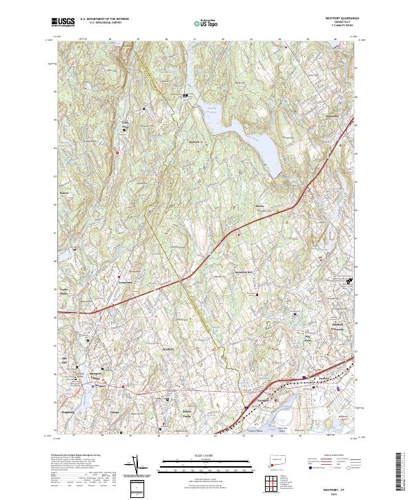 2024 Westport2024 Print · USGSThe Fairfield coast and its interior hills are shown in detail as they appear today, from the busy transit hubs to quiet upland reservoirs. Genealogists can locate numerous historic burial sites like Bikur Cholim Cem and Green Farms Upper Cem or trace the reach of Fairfield University.
End of results
Showing maps 1-23 of 23
Top cities near Compo
- Brookhaven historical maps
- Oyster Bay historical maps
- North Hempstead historical maps
- Huntington historical maps
- Bridgeport historical maps
- Stamford historical maps
See more
Top neighborhoods of Compo
Frequently asked questions
- What are the different types of historical maps available for Compo?
- What is the oldest map of Compo?
- Where can I purchase historical maps of Compo for my home or office?
- Where can I download high-res historical maps of Compo?
- Are there historical topographic maps available for Compo?
- Is there historical aerial imagery available for Compo?
- Where are historical maps of Compo sourced from?