Old Maps of Auburn Meadows, Delaware for Genealogy
Trace your family roots with 29 historic maps of Auburn Meadows. These high-res maps reveal old neighborhoods, homesites, landmarks, and streets — helping you uncover where your ancestors lived and how the area evolved over time.
- Explore historic neighborhoods: Identify where your relatives may have lived in the 1800s or 1900s.
- Compare maps over time: Trace the changes in streets, buildings, and landmarks for multi-generational research.
- Perfect for genealogy & ancestry research: Used by family historians and researchers to map out lineage and migration.
These maps are an incredible resource for exploring your personal connection to Auburn Meadows's past.
Auburn Meadows, DE maps
(29)- 1899 Map of Dover
 1899 Dover1899 Print · USGSDelaware and Maryland river country thrived in the late nineteenth century as a network of landings and rail lines. Trace old wharves at Cassidy Ldg., explore the area around Bohemia Mills, or locate maritime landmarks like Bombay Hook Light.2 unique versions available
 - 1906 Map of Dover
 1906 Dover1906 Print · USGSCentral Delaware and Maryland's Eastern Shore appear at the start of the twentieth century, focused on the bustling rail-and-river economy. Genealogists can trace old family landing sites and crossroads villages like Bohemia Mills, Deakyneville Ldg., and Seven Hickories.3 unique versions available
 - 1920 Map of Dover
 1920 Dover1920 Print · USGSThe Maryland and Delaware borderlands at the end of the Great War reveal a landscape of tidewater landings and evolving rail lines. Trace family roots and vanished wharves through Fredericktown, the Mason and Dixon Line, and the Bombay Hook Light.
 - 1926 Map of Wyoming
 1926 Wyoming1926 Print · USGSCentral Delaware in the mid-twenties shows a landscape defined by the Pennsylvania RR and a dense network of rural schoolhouses. Researchers can locate family landmarks at Wrights Crossroads, Voshell Mill, or the many parish sites like Bryn Zion Church.
 - 1930 Map of Wyoming, 1945 Print
 1930 Wyoming1945 Print · USGSCentral Delaware in the mid-1920s reveals a structured landscape of rural school districts and railroad-connected towns surrounding the capital. Genealogists and historians can trace family locations near landmarks like Voshell Mill, the County Poor Farm, or many rural schoolhouses like Lockwood Sch.
 - 1931 Map of Wyoming
 1931 Wyoming1931 Print · USGSKent County and the Maryland borderlands are seen here between the world wars, a landscape of rail-connected towns and rural districts. Genealogists can trace family lines through numerous sites like Dinaus Corner, the County Poor Farm, and Bethel church.2 unique versions available
 - 1931 Map of Smyrna
 1931 Smyrna1931 Print · USGSCoastal Delaware in the late twenties and early thirties was a landscape of tidal landings and crossroads settlements linked by the new Dupont Highway. Genealogists can trace family names across Gums Corners, identify sites like St Anns Church, or locate the many landings along Blackbird Creek, including Blackbird Landing and Stave Landing.5 unique versions available
 - 1946 Map of Wilmington, 1948 Print
 1946 Wilmington1948 Print · USGSThe Delaware Valley and Jersey Shore emerge in this mid-century portrait of a region defined by river commerce and seaside growth. Genealogists and historians can trace the rail networks of the Pennsylvania Railroad, locate early airfields like Dover Airpark, and find river defenses at Fort Delaware.2 unique versions available
 - 1949 Map of Smyrna
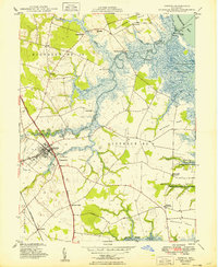 1949 Smyrna1949 Print · USGSCoastal Delaware's transition from town to marsh is documented here in the late 1940s, centered on the historic hub of Smyrna. Researchers can trace family roots through sites like Belmont Hall, Odd Fellows Cem, and the riverfront at Smyrna Landing.2 unique versions available
 - 1955 Map of Wilmington
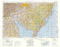 1955 Wilmington1955 Print · USGSThe Delaware Valley and Jersey Shore are seen here during the mid-fifties era of rapid suburban expansion and highway development. You can trace the path of the New Jersey Turnpike, locate the Fort Dix Military Reservation, or explore the rail networks of the Pennsylvania Railroad.
 - 1956 Map of Dover, 1957 Print
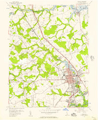 1956 Dover1957 Print · USGSDover and its surrounding districts are captured mid-century during a period of steady residential and institutional growth. Genealogists and historians can trace family locations near Bishops Corner, old school sites like Fork Branch Sch, and early suburbs like Capitol Park.3 unique versions available
 - 1956 Map of Smyrna, 1957 Print
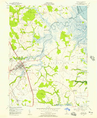 1956 Smyrna1957 Print · USGSThe town of Smyrna and its surrounding rural districts are shown in the mid-fifties as the local economy balanced rail transport with coastal marsh management. Researchers can trace family-named sites like Belmont Hall or locate rural landmarks such as Friendship Ch and Dutch Neck Crossroads.3 unique versions available
 - 1957 Map of Wilmington
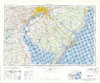 1957 Wilmington1957 Print · USGSThe mid-Atlantic coastal plain comes alive in the mid-fifties as the New Jersey Turnpike and Garden State Parkway redefine travel. Researchers can trace the rail-to-road transition and find landmarks like Ship John Shoal Light and the Fort Dix Military Reservation.2 unique versions available
 - 1959 Map of Wilmington
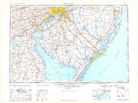 1959 Wilmington1959 Print · USGSThe Delaware Valley and Jersey Shore are seen here in the late fifties, during a period of massive suburban and highway expansion. Researchers can trace mid-century infrastructure like the N J Turnpike or locate coastal landmarks from Barnegat Bay to the Maurice River.3 unique versions available
 - 1966 Map of Wilmington, 1968 Print
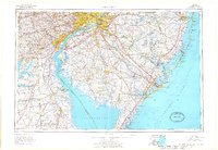 1966 Wilmington1968 Print · USGSThe Delaware Valley and Jersey Shore are seen here in the mid-1960s, documenting a landscape of dense industrial cities and emerging coastal resorts. Researchers can trace the sprawling rail networks of the Pennsylvania Railroad or locate landmarks like Fort Dix Military Reservation and Elk Neck State Park.4 unique versions available
 - 1972 Map of Wilmington, 1976 Print
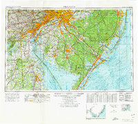 1972 Wilmington1976 Print · USGSThe Delaware Valley and Jersey Shore are seen here in the 1970s, showcasing the region's dense transport networks and vast state forests. Trace early coastal development near Atlantic City or locate rural landmarks like Mount Holly and Dover Air Force Base.2 unique versions available
 - 1984 Map of Dover, 1985 Print
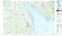 1984 Dover1985 Print · USGSThe Delaware Bay coastline and its surrounding communities are captured here in the mid-1980s. Genealogists and historians can trace the growth of Dover, locate rural landmarks like St Augustine, or study the rail networks of CONRAIL and the Dover Air Force Base.
 - 1993 Map of Dover
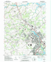 1993 Dover1993 Print · USGSDover and its surrounding Kent County suburbs are captured here in the early nineties, showing a landscape of rapid residential and civic growth. Researchers can trace family history through sites like Sharon Hills Mem Park, old schoolhouses such as Apple Grove Sch, and established rail-side towns like Cheswold.
 - 1993 Map of Smyrna
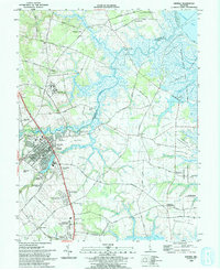 1993 Smyrna1993 Print · USGSSmyrna and the surrounding Delaware wetlands are captured here in the early nineties as suburban expansion began meeting the coastal marshlands. Genealogists and local historians can locate Friendship Ch, trace the banks of Duck Creek, and explore old landings like Smyrna Landing.
 - 2011 Map of Smyrna, 2011 Print
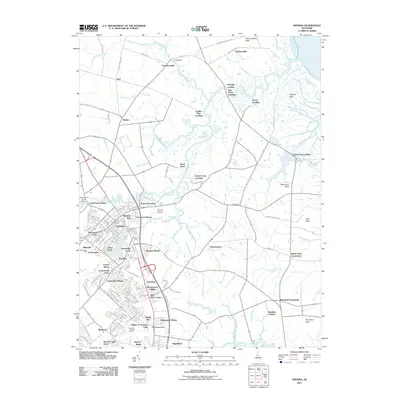 2011 Smyrna2011 Print · USGSSmyrna and the coastal necks of Kent County appear here during a period of modern suburban growth within a traditional maritime landscape. Researchers can trace historic sites like Belmont Hall and Smyrna Landing alongside rural landmarks such as Brick Store and Deakyneville.
 - 2011 Map of Dover, 2011 Print
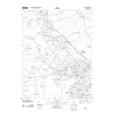 2011 Dover2011 Print · USGSDover and its northern suburbs are shown in detail during the early 21st century as the capital region expanded. Researchers can trace historic burial sites like the Amish Cemetery and Whatcoat Cemetery, or locate local landmarks such as Dover Downs and Delaware Airpark.
 - 2014 Map of Smyrna, 2014 Print
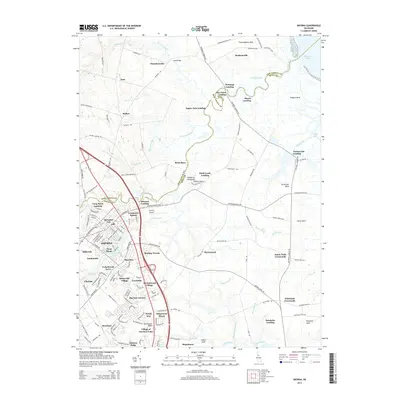 2014 Smyrna2014 Print · USGSSmyrna and the Kent-New Castle borderlands are shown here in the mid-2010s, capturing a landscape of historic river landings and modern residential growth. Researchers can trace local genealogy and land use across sites like Brick Store, Deakyneville, and Smyrna Landing.
 - 2014 Map of Dover, 2014 Print
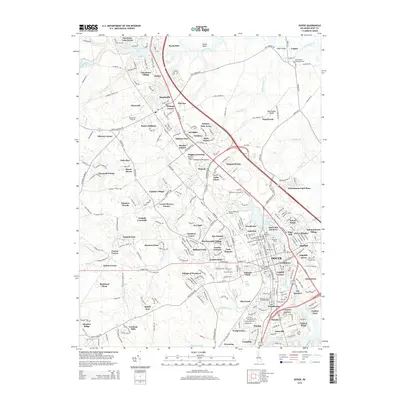 2014 Dover2014 Print · USGSDover and its northern neighbors are seen here at a time of suburban growth and institutional development. Researchers can trace family history through numerous documented sites like Whatcoat Cem, the Amish Cem, and early settlements such as Bethel and Leipsic.
 - 2016 Map of Smyrna, 2016 Print
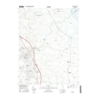 2016 Smyrna2016 Print · USGSSmyrna and Clayton are shown in high detail during the mid-2010s, capturing the balance between historic town centers and the surrounding marshland. Researchers can trace local landmarks like Smyrna Landing, the Smyrna Airport, and rural junctions at Dutch Neck Crossroads.
 - 2016 Map of Dover, 2016 Print
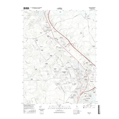 2016 Dover2016 Print · USGSDover and its surrounding Kent County communities are captured in the mid-2010s, showing a mix of historic institutional sites and modern suburban growth. Genealogists and researchers can trace local roots at the Amish Cem, Holy Cross Cem, and Whatcoat Cem, or explore the grounds of Delaware State Univ and Wesley Coll.
Showing maps 1-25 of 29
Frequently asked questions
- What are the different types of historical maps available for Auburn Meadows?
- What is the oldest map of Auburn Meadows?
- Where can I purchase historical maps of Auburn Meadows for my home or office?
- Where can I download high-res historical maps of Auburn Meadows?
- Are there historical topographic maps available for Auburn Meadows?
- Is there historical aerial imagery available for Auburn Meadows?
- Where are historical maps of Auburn Meadows sourced from?