2000s (21st Century) Maps of Lewes, Delaware
Explore 10 historic maps of Lewes from the 2000s (21st Century). These maps offer a rare glimpse into what life looked like during the 2000s — showing old roads, neighborhoods, homes, and landmarks that have changed or disappeared over time.
Whether you're researching your family's past, planning a metal detecting trip, or studying how Lewes's landscape evolved across the 2000s, these high-resolution maps are a powerful tool for exploring the history of this region.
- Focus on a specific era: All maps on this page are from the 2000s, giving you a focused view of this time period.
- See what’s changed: Compare century-old streets, trails, and buildings to today's modern landscape using overlays and satellite layers.
- Research with precision: Use these maps for genealogy, historical research, land use analysis, or educational projects.
- View, download, or print: Maps are fully viewable online in high resolution, and can be downloaded or printed for your own records.
Start exploring Lewes's history through authentic maps from the 2000s. This is your window into the past.
Lewes, DE maps
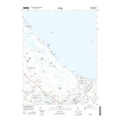
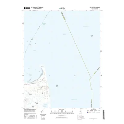
(10)- 2011 Map of Lewes, 2011 Print
 2011 Lewes2011 Print · USGSCovers Lewes, including Black Hog Landing, Primehook Beach, and other nearby areas
 - 2011 Map of Cape Henlopen, 2011 Print
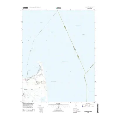
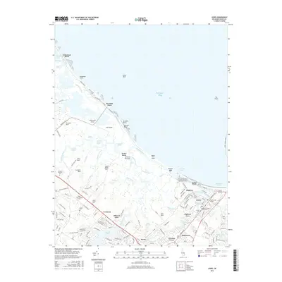
 2011 Cape Henlopen2011 Print · USGSCovers Lewes, including Sussex County, Cape May County, and other nearby areas
 - 2014 Map of Lewes, 2014 Print
 2014 Lewes2014 Print · USGSCovers Lewes, including Black Hog Landing, Primehook Beach, and other nearby areas
 - 2014 Map of Cape Henlopen, 2014 Print
 2014 Cape Henlopen2014 Print · USGSCovers Lewes, including Sussex County, Cape May County, and other nearby areas
 - 2016 Map of Cape Henlopen, 2016 Print
 2016 Cape Henlopen2016 Print · USGSCovers Lewes, including Sussex County, Cape May County, and other nearby areas
 - 2016 Map of Lewes, 2016 Print
 2016 Lewes2016 Print · USGSCovers Lewes, including Black Hog Landing, Primehook Beach, and other nearby areas
 - 2019 Map of Lewes, 2019 Print
 2019 Lewes2019 Print · USGSCovers Lewes, including Black Hog Landing, Primehook Beach, and other nearby areas
 - 2019 Map of Cape Henlopen, 2019 Print
 2019 Cape Henlopen2019 Print · USGSCovers Lewes, including Sussex County, Cape May County, and other nearby areas
 - 2023 Map of Lewes, 2023 Print
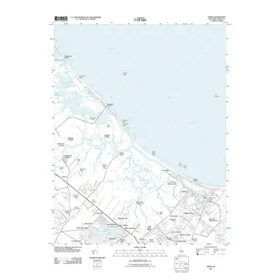
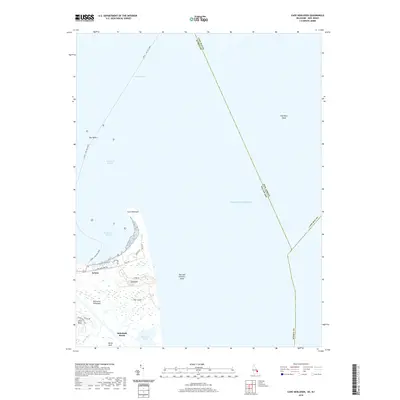
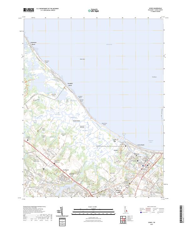 2023 Lewes2023 Print · USGSThe Delaware coast near the Delaware Bay is shown here as a complex puzzle of tidal marshes and historic maritime settlements. Researchers can trace family sites at Saint Peters Cem or explore the early waterfront footprints of Pilottown and Nassau.
 - 2023 Map of Cape Henlopen, 2023 Print
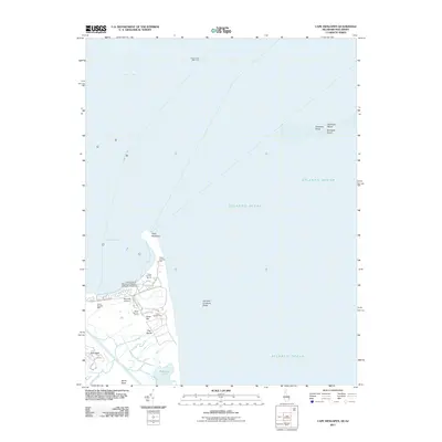
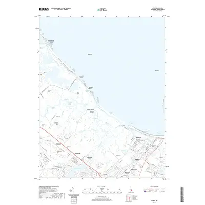
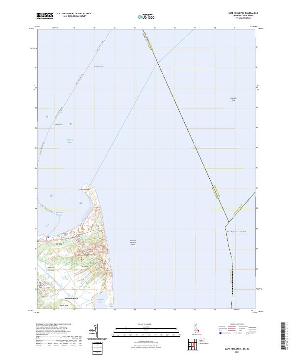 2023 Cape Henlopen2023 Print · USGSCoastal Sussex County is detailed in this recent survey of the Delaware shoreline where the bay meets the ocean. Researchers can trace modern conservation boundaries and maritime landmarks like Cape Henlopen State Park, The Shears, and the Lewes - Cape May Ferry.
End of results
Showing maps 1-10 of 10
Top cities near Lewes
- Lower Township historical maps
- Middle Township historical maps
- Milford historical maps
- Georgetown historical maps
- Cape May historical maps
- Millsboro historical maps
See more
Top neighborhoods of Lewes
- Lewes Beach historical maps
- Highland Acres historical maps
- Green Hill historical maps
- Pilottown historical maps
Frequently asked questions
- What are the different types of historical maps available for Lewes?
- What is the oldest map of Lewes?
- Where can I purchase historical maps of Lewes for my home or office?
- Where can I download high-res historical maps of Lewes?
- Are there historical topographic maps available for Lewes?
- Is there historical aerial imagery available for Lewes?
- Where are historical maps of Lewes sourced from?