Old Maps of Micanopy, Florida for Genealogy
Trace your family roots with 21 historic maps of Micanopy. These high-res maps reveal old neighborhoods, homesites, landmarks, and streets — helping you uncover where your ancestors lived and how the area evolved over time.
- Explore historic neighborhoods: Identify where your relatives may have lived in the 1800s or 1900s.
- Compare maps over time: Trace the changes in streets, buildings, and landmarks for multi-generational research.
- Perfect for genealogy & ancestry research: Used by family historians and researchers to map out lineage and migration.
These maps are an incredible resource for exploring your personal connection to Micanopy's past.
Micanopy, FL maps
(21)- 1890 Map of Arredondo, 1955 Print
 1890 Arredondo1955 Print · USGSAlachua County at the end of the nineteenth century shows a landscape where iron rails were rapidly connecting old prairie settlements. Genealogists and historians can trace the early rail stops at Arredondo, locate the distinctive Devils Mill Hopper, and see the early layout of Gainesville.2 unique versions available
 - 1892 Map of Arredondo
 1892 Arredondo1892 Print · USGSAlachua County is captured here in the late nineteenth century as a hub of early Florida rail commerce. Genealogists and historians can trace the foundations of Gainesville and smaller rural communities such as Arredondo, Stewartville, and Micanopy.
 - 1894 Map of Arredondo
 1894 Arredondo1894 Print · USGSAlachua County at the close of the nineteenth century is defined by its new rail junctions and expansive, shifting wet prairies. Researchers can trace the early footprints of Gainesville or locate vanished sites near Arredondo, Kanapaha, and the banks of Levy Lake.6 unique versions available
 - 1895 Map of Williston
 1895 Williston1895 Print · USGSNorth Central Florida in the mid-1890s reveals a landscape shaped by phosphate mining and the arrival of the iron horse. Genealogists and historians can trace early rail hubs like Williston and Montbrook, alongside industrial sites like Standard Mine and Phosphate.6 unique versions available
 - 1954 Map of Gainesville, 1965 Print
 1954 Gainesville1965 Print · USGSMid-century North Central Florida comes into focus as a landscape of timber, rails, and river towns along the Gulf. Trace family roots in established centers like Gainesville or follow the path of the Suwannee River to the coastal docks of Cedar Key.3 unique versions available
 - 1958 Map of Gainesville
 1958 Gainesville1958 Print · USGSNorth Central Florida’s rail and river networks are frozen in time just before the interstate era. Genealogists and historians can trace the paths of the Atlantic Coast Line through Gainesville or locate coastal settlements like Steinhatchee and Cedar Key.
 - 1959 Map of Gainesville
 1959 Gainesville1959 Print · USGSNorth Florida in the mid-fifties is seen here from the Gulf coast to the inland lakes, showing the rail-and-river network before modern highways dominated. Researchers can trace the paths of the Seaboard Air Line through towns like Chiefland and Micanopy, or explore the coastal inlets of Waccasassa Bay.
 - 1966 Map of Micanopy
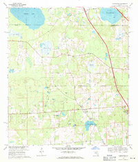
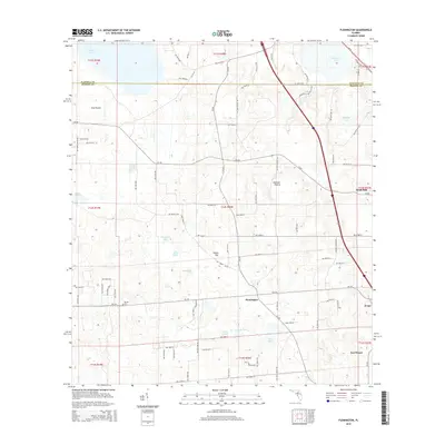
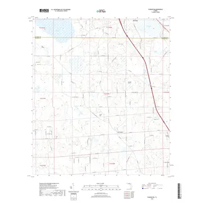
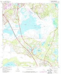 1966 Micanopy1966 Print · USGSFlorida's interior wetlands and historical land grants are captured here during the mid-1960s, just as the Gainesville suburbs began to push south. Researchers can trace the legacy of old Spanish grants and locate local landmarks like Oak Ridge Cem, the settlement of Tacoma, and Hale Airport.3 unique versions available
 - 1969 Map of Flemington, 1971 Print
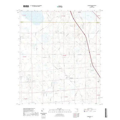
 1969 Flemington1971 Print · USGSThis late 1960s survey of the Marion and Alachua county borderlands shows a landscape of wet prairies and quiet rural settlements. Genealogists can trace family roots through sites like Shiloh Cem and Canaan Ch, or locate old landmarks like the Lookout Tower.2 unique versions available
 - 1978 Map of Ocala, 1980 Print
 1978 Ocala1980 Print · USGSFlorida's interior heartland and Gulf coast are seen here in the late seventies, showing the transition from freshwater springs to coastal hammocks. Genealogists and historians can trace the Seaboard Coast Line Railroad through Chiefland, Bronson, and Dunnellon.2 unique versions available
 - 1981 Map of Gainesville, 1982 Print
 1981 Gainesville1982 Print · USGSGainesville and its surrounding North Central Florida counties are captured in the early eighties, showcasing a mix of university growth and rural agriculture. Genealogists and historians can trace small settlements like Arredondo, Wacahoota, and Island Grove alongside major rail lines like the Seaboard Coast Line.2 unique versions available
 - 2012 Map of Micanopy, 2012 Print
 2012 Micanopy2012 Print · USGSCovers Micanopy, including Gainesville, Melton Manor, and other nearby areas
 - 2012 Map of Flemington, 2012 Print
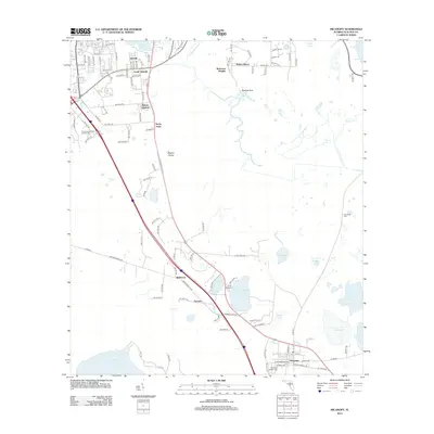
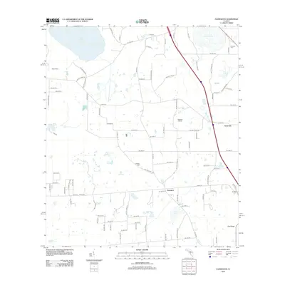 2012 Flemington2012 Print · USGSCovers Micanopy, including Irvine, Fort Drane, and other nearby areas
 - 2015 Map of Flemington, 2015 Print
 2015 Flemington2015 Print · USGSCovers Micanopy, including Irvine, Fort Drane, and other nearby areas
 - 2015 Map of Micanopy, 2015 Print
 2015 Micanopy2015 Print · USGSCovers Micanopy, including Gainesville, Melton Manor, and other nearby areas
 - 2018 Map of Micanopy, 2018 Print
 2018 Micanopy2018 Print · USGSCovers Micanopy, including Gainesville, Melton Manor, and other nearby areas
 - 2018 Map of Flemington, 2018 Print
 2018 Flemington2018 Print · USGSCovers Micanopy, including Irvine, Fort Drane, and other nearby areas
 - 2021 Map of Flemington, 2021 Print
 2021 Flemington2021 Print · USGSCovers Micanopy, including Irvine, Fort Drane, and other nearby areas
 - 2021 Map of Micanopy, 2021 Print
 2021 Micanopy2021 Print · USGSCovers Micanopy, including Gainesville, Melton Manor, and other nearby areas
 - 2024 Map of Flemington, 2024 Print
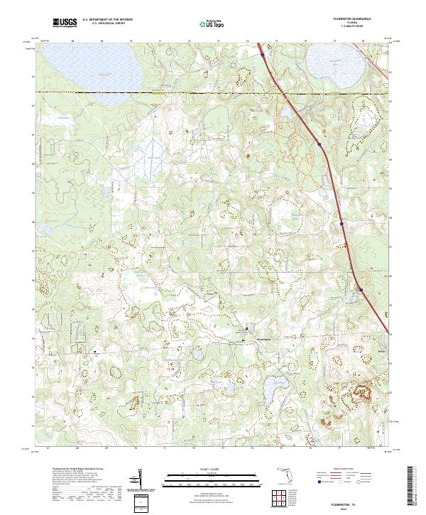 2024 Flemington2024 Print · USGSMarion County's rural heartland is meticulously documented in the 2020s, showing a landscape shaped by water and tradition. Genealogists can locate family landmarks like McFall Cem or trace the roads connecting Flemington to the waters of Ledwith Lake.
 - 2024 Map of Micanopy, 2024 Print
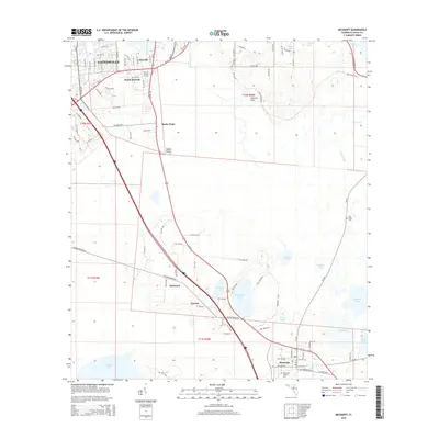
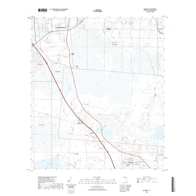
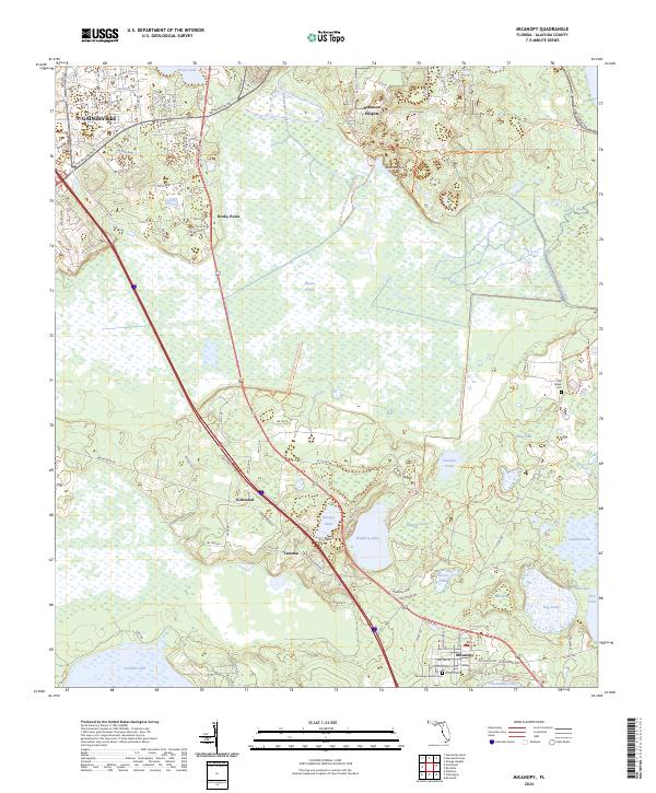 2024 Micanopy2024 Print · USGSThe northern Florida wetlands and the historic town of Micanopy are captured here in the contemporary era. Researchers can trace local heritage at the Micanopy Historic Cem and locate smaller settlements such as Tacoma and Kirkwood.
End of results
Showing maps 1-21 of 21
Top cities near Micanopy
- Gainesville historical maps
- Alachua historical maps
- Citra historical maps
- Williston historical maps
- Hawthorne historical maps
- Archer historical maps
See more
Frequently asked questions
- What are the different types of historical maps available for Micanopy?
- What is the oldest map of Micanopy?
- Where can I purchase historical maps of Micanopy for my home or office?
- Where can I download high-res historical maps of Micanopy?
- Are there historical topographic maps available for Micanopy?
- Is there historical aerial imagery available for Micanopy?
- Where are historical maps of Micanopy sourced from?