Old Maps of Rochelle, Florida
Explore 12 old maps of Rochelle, spanning from 1938 to today. These high-resolution historic maps reveal how streets, neighborhoods, landmarks, and natural features evolved over time — perfect for genealogy, metal detecting, research, and local history exploration.
What you can do with these maps:
- See how Rochelle changed over time: Compare historical maps to modern-day views to trace roads, homesites, rail lines & more.
- View detailed metadata: Each map includes creators, publishers, year, scale, and archive source.
- Overlay maps with satellite & LiDAR: Visualize the past alongside modern tools to explore terrain & human change.
- Trusted historical sources: Maps sourced from the USGS, Library of Congress, and other archives.
- Access maps your way: View online, download high-res files, or order prints for personal or research use.
Start exploring old maps of Rochelle to uncover forgotten places, hidden landmarks, and the deep history beneath your feet.
Rochelle, FL maps
(12)- 1938 Map of Hawthorn
 1938 Hawthorn1938 Print · USGSAlachua County in the late thirties is a landscape of intersecting railroads and sprawling lakeside settlements. Genealogists and historians can trace the foundations of Hawthorn, locate remote burial sites like Riley Cem, and explore the rail junctions at Micanopy Junction.
 - 1943 Map of Hawthorn, 1963 Print
 1943 Hawthorn1963 Print · USGSAlachua County during the early war years reveals a landscape defined by its great lakes and a dual-railroad economy. Researchers can trace the routes of the Seaboard Air Line, locate rural landmarks like Ochwilla Church, or find family roots at Providence Cem and Drummond Cem.
 - 1954 Map of Gainesville, 1965 Print
 1954 Gainesville1965 Print · USGSMid-century North Central Florida comes into focus as a landscape of timber, rails, and river towns along the Gulf. Trace family roots in established centers like Gainesville or follow the path of the Suwannee River to the coastal docks of Cedar Key.3 unique versions available
 - 1958 Map of Gainesville
 1958 Gainesville1958 Print · USGSNorth Central Florida’s rail and river networks are frozen in time just before the interstate era. Genealogists and historians can trace the paths of the Atlantic Coast Line through Gainesville or locate coastal settlements like Steinhatchee and Cedar Key.
 - 1959 Map of Gainesville
 1959 Gainesville1959 Print · USGSNorth Florida in the mid-fifties is seen here from the Gulf coast to the inland lakes, showing the rail-and-river network before modern highways dominated. Researchers can trace the paths of the Seaboard Air Line through towns like Chiefland and Micanopy, or explore the coastal inlets of Waccasassa Bay.
 - 1966 Map of Rochelle, 1967 Print
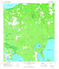 1966 Rochelle1967 Print · USGSAlachua County is captured in the mid-1960s as a landscape of rail-linked settlements and ancient land grants. Researchers can trace family history at St Pauls Cem or locate the old Seaboard Coast Line junction at Micanopy Junction.3 unique versions available
 - 1981 Map of Gainesville, 1982 Print
 1981 Gainesville1982 Print · USGSGainesville and its surrounding North Central Florida counties are captured in the early eighties, showcasing a mix of university growth and rural agriculture. Genealogists and historians can trace small settlements like Arredondo, Wacahoota, and Island Grove alongside major rail lines like the Seaboard Coast Line.2 unique versions available
 - 2012 Map of Rochelle, 2012 Print
 2012 Rochelle2012 Print · USGSCovers Rochelle, including Micanopy Junction, Phifer, and other nearby areas
 - 2015 Map of Rochelle, 2015 Print
 2015 Rochelle2015 Print · USGSCovers Rochelle, including Micanopy Junction, Phifer, and other nearby areas
 - 2018 Map of Rochelle, 2018 Print
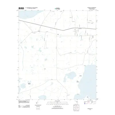
 2018 Rochelle2018 Print · USGSCovers Rochelle, including Micanopy Junction, Phifer, and other nearby areas
 - 2021 Map of Rochelle, 2021 Print
 2021 Rochelle2021 Print · USGSCovers Rochelle, including Micanopy Junction, Phifer, and other nearby areas
 - 2024 Map of Rochelle, 2024 Print
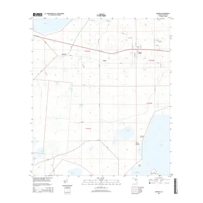
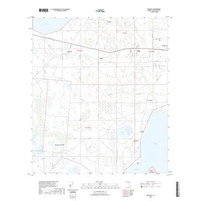
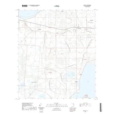
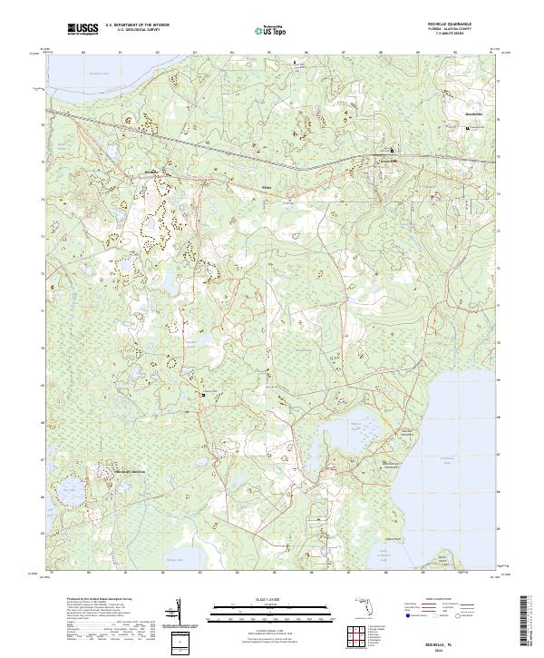 2024 Rochelle2024 Print · USGSAlachua County's interior wetlands and historical settlements are mapped here in the modern era. Trace local genealogy and geography through sites like Saint Paul Memorial Cem, the community of Rochelle, and the Lochloosa Lake shoreline.
End of results
Showing maps 1-12 of 12
Top cities near Rochelle
- Gainesville historical maps
- Alachua historical maps
- Citra historical maps
- Williston historical maps
- Keystone Heights historical maps
- Hawthorne historical maps
See more
Frequently asked questions
- What are the different types of historical maps available for Rochelle?
- What is the oldest map of Rochelle?
- Where can I purchase historical maps of Rochelle for my home or office?
- Where can I download high-res historical maps of Rochelle?
- Are there historical topographic maps available for Rochelle?
- Is there historical aerial imagery available for Rochelle?
- Where are historical maps of Rochelle sourced from?