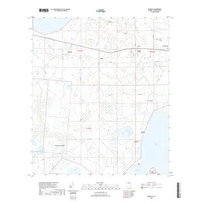
2018 Map of Rochelle
USGS Topo · Published 2018About this map
Lochloosa Lake and the northern reaches of Orange Lake anchor this 2018 survey of Alachua County, where the landscape is defined by a complex network of wetlands and small ponds. The small settlements of Rochelle, Phifer, and Grove Park are situated along the SE Hawthorne Rd corridor, reflecting the historical rail-and-road alignment through the hammock lands. These hammocks, including Garrison Hammock and Little Garrison Hammock, represent elevated islands of vegetation within a broader watery expanse that includes Watson Prairie and Mosquito Bay.
Find a feature on this map
62 named features on this map. Tap any name to fly to it.
Don’t see what you’re looking for? This feature index may not catch every label — zoom into the map to look around manually.
Map Details
Editions of this 2018 Rochelle Map
This is the sole edition of this map. No revisions or reprints were ever made.
Other maps of this area

1890 · Arredondo
USGS Topo · 1:62,500

1892 · Arredondo
USGS Topo · 1:62,500

1893 · Citra
USGS Topo · 1:62,500

1894 · Arredondo
USGS Topo · 1:62,500

1895 · Williston
USGS Topo · 1:62,500

1895 · Citra
USGS Topo · 1:62,500

1938 · Hawthorn
USGS Topo · 1:48,000

1943 · Hawthorn
USGS Topo · 1:62,500

1954 · Gainesville
USGS Topo · 1:250,000

1958 · Gainesville
USGS Topo · 1:250,000