Old Maps of Cape Canaveral, Brevard County for Hiking & Exploration
Hike through history with 20 historic maps of Cape Canaveral. Explore old trails, ghost towns, and forgotten backroads — perfect for outdoor adventurers and local explorers.
- Rediscover forgotten places: Map out old mining camps, roads, and footpaths that no longer exist on modern maps.
- Layer with modern tools: Combine with LiDAR or satellite views to plan hikes through historical terrain.
- Made for exploration: Popular among hikers, overlanders, and local history lovers.
Use these maps to find adventure and explore the hidden past of Cape Canaveral.
Cape Canaveral, Brevard County maps
(20)- 1949 Map of Cocoa Beach, 1966 Print
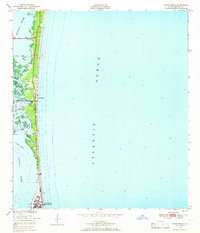 1949 Cocoa Beach1966 Print · USGSCoastal Brevard County is seen here just after the war, when the barrier island was a quiet stretch of dunes and wetlands. Trace early settlement patterns in Cocoa Beach or explore the intricate waterways of the Thousand Islands and Shortys Banks.2 unique versions available
 - 1951 Map of Cocoa Beach
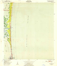 1951 Cocoa Beach1951 Print · USGSThe Florida coast near Cocoa Beach appears at a turning point in the early fifties, before the height of the space race. Genealogists and historians can trace the early town layout and landmarks like the U S Military Reservation and the Thousand Islands.
 - 1951 Map of Cape Canaveral
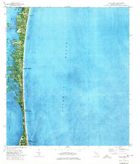
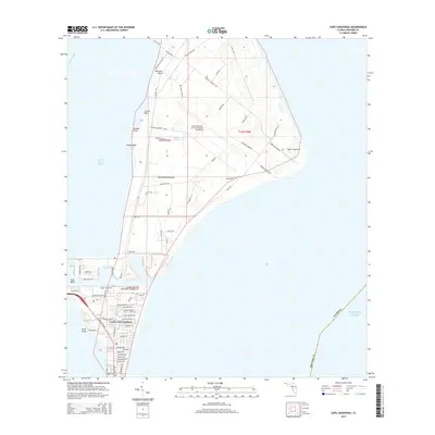
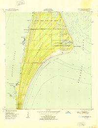 1951 Cape Canaveral1951 Print · USGSCoastal Florida is captured in the early fifties, before the arrival of the space program transformed the landscape. Researchers can trace the old community of Artesia, locate the Cape Canaveral Lighthouse, and explore the bounds of the De Soto Beach State Game Refuge.3 unique versions available
 - 1955 Map of Orlando, 1969 Print
 1955 Orlando1969 Print · USGSCentral Florida was entering the space age in the mid-fifties, balancing its citrus heritage with new military and aerospace frontiers. You can trace early developments at Kennedy Space Center or locate interior settlements like Eatonville and Pine Castle.3 unique versions available
 - 1957 Map of Orlando
 1957 Orlando1957 Print · USGSCovers Cape Canaveral, including Orlando, Palm Bay, and other nearby areas
 - 1958 Map of Orlando
 1958 Orlando1958 Print · USGSCentral Florida was a landscape of citrus, rail, and emerging aerospace technology during the late fifties. Researchers can trace the early footprints of Cape Canaveral and Patrick Air Force Base or locate inland citrus and rail hubs like Sanford and Lakeland.
 - 1962 Map of Orlando
 1962 Orlando1962 Print · USGSCentral Florida was transformed by aerospace and citrus at the start of the sixties. Genealogists and historians can trace old community footprints from Eau Gallie to Leesburg, alongside landmarks like McCoy AFB and the winding Econlockhatchee River.
 - 1976 Map of Cape Canaveral
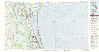
 1976 Cape Canaveral1976 Print · USGSBrevard County's Atlantic coast is shown at the height of the Space Race era, revealing the intricate launch and tracking infrastructure of the Cape. Researchers can trace the layout of Port Canaveral, the Lighthouse, and historical sites like Indian Mound Cem.2 unique versions available
 - 1976 Map of Cocoa Beach, 1977 Print
 1976 Cocoa Beach1977 Print · USGSThe Space Coast shoreline was rapidly evolving during the mid-seventies, featuring dense coastal development and military presence. Researchers can trace canal developments in the Thousand Islands, the layout of Patrick Air Force Base, and landmarks like Canaveral Pier.2 unique versions available
 - 1981 Map of Cape Canaveral, 1983 Print
 1981 Cape Canaveral1983 Print · USGSThe Space Coast and the Florida marshlands meet in the early eighties as aerospace technology and nature preserves sit side-by-side. Trace the development of Cocoa Beach, the sprawling grounds of the Kennedy Space Center, and the inland waters of Lake Poinsett.
 - 2012 Map of Cape Canaveral, 2012 Print
 2012 Cape Canaveral2012 Print · USGSCovers Cape Canaveral, including Brevard County, United States, and other nearby areas
 - 2012 Map of Cocoa Beach, 2012 Print
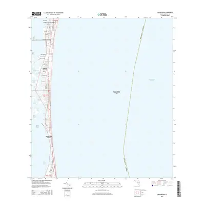
 2012 Cocoa Beach2012 Print · USGSCovers Cape Canaveral, including Cocoa Beach, South Cocoa Beach, and other nearby areas
 - 2015 Map of Cape Canaveral, 2015 Print
 2015 Cape Canaveral2015 Print · USGSCovers Cape Canaveral, including Brevard County, United States, and other nearby areas
 - 2015 Map of Cocoa Beach, 2015 Print
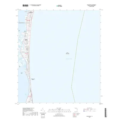
 2015 Cocoa Beach2015 Print · USGSCovers Cape Canaveral, including Cocoa Beach, South Cocoa Beach, and other nearby areas
 - 2018 Map of Cocoa Beach, 2018 Print
 2018 Cocoa Beach2018 Print · USGSCovers Cape Canaveral, including Cocoa Beach, South Cocoa Beach, and other nearby areas
 - 2018 Map of Cape Canaveral, 2018 Print
 2018 Cape Canaveral2018 Print · USGSCovers Cape Canaveral, including Brevard County, United States, and other nearby areas
 - 2021 Map of Cocoa Beach, 2021 Print
 2021 Cocoa Beach2021 Print · USGSCovers Cape Canaveral, including Cocoa Beach, South Cocoa Beach, and other nearby areas
 - 2021 Map of Cape Canaveral, 2021 Print
 2021 Cape Canaveral2021 Print · USGSCovers Cape Canaveral, including Brevard County, United States, and other nearby areas
 - 2024 Map of Cape Canaveral, 2024 Print
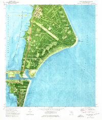
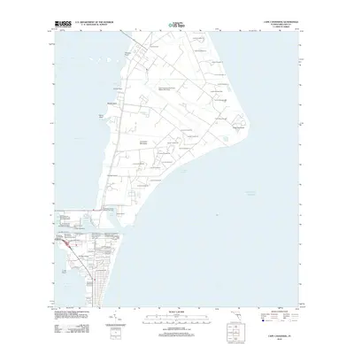
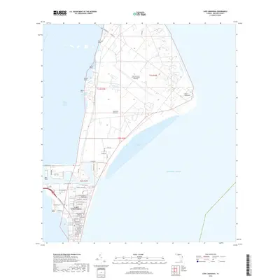
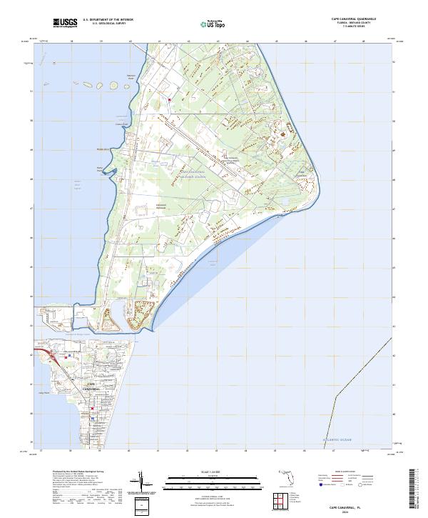 2024 Cape Canaveral2024 Print · USGSBrevard County's aerospace coast is captured in the modern era, showing the intersection of military installations and protected estuaries. Researchers can trace the layout of Cape Canaveral Air Force Station alongside local landmarks like the Canaveral Barge Canal and Cactus Point.
 - 2024 Map of Cocoa Beach, 2024 Print
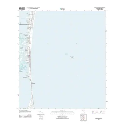
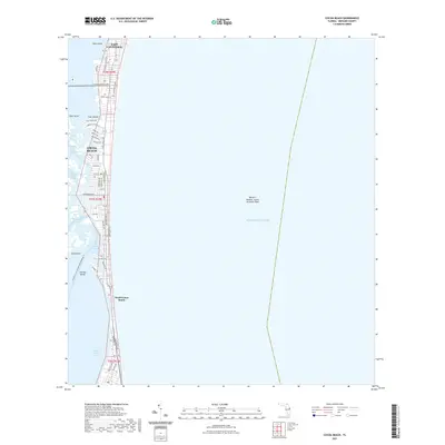
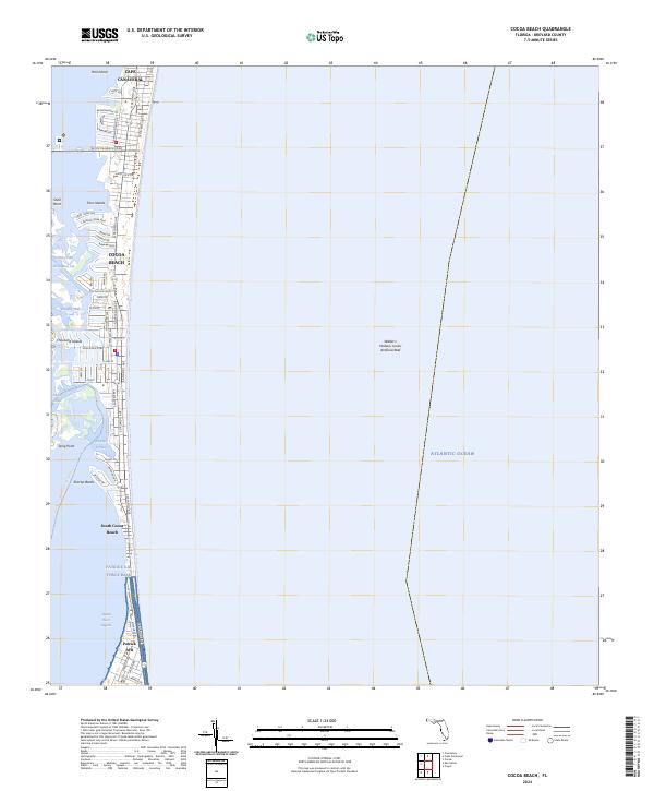 2024 Cocoa Beach2024 Print · USGSFlorida's Space Coast is captured here in the early twenty-first century, showcasing the dense residential development along the barrier island. Researchers can trace the layout of Cocoa Beach, the reaches of Patrick Air Force Base, and the maze of the Thousand Islands.
End of results
Showing maps 1-20 of 20
Frequently asked questions
- What are the different types of historical maps available for Cape Canaveral?
- What is the oldest map of Cape Canaveral?
- Where can I purchase historical maps of Cape Canaveral for my home or office?
- Where can I download high-res historical maps of Cape Canaveral?
- Are there historical topographic maps available for Cape Canaveral?
- Is there historical aerial imagery available for Cape Canaveral?
- Where are historical maps of Cape Canaveral sourced from?