Old Maps of Country Club Vista, Palm Bay for Genealogy
Trace your family roots with 12 historic maps of Country Club Vista. These high-res maps reveal old neighborhoods, homesites, landmarks, and streets — helping you uncover where your ancestors lived and how the area evolved over time.
- Explore historic neighborhoods: Identify where your relatives may have lived in the 1800s or 1900s.
- Compare maps over time: Trace the changes in streets, buildings, and landmarks for multi-generational research.
- Perfect for genealogy & ancestry research: Used by family historians and researchers to map out lineage and migration.
These maps are an incredible resource for exploring your personal connection to Country Club Vista's past.
Country Club Vista, Palm Bay maps
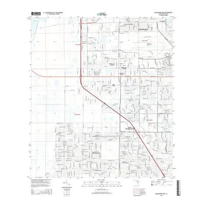
(12)- 1949 Map of Melbourne West, 1958 Print
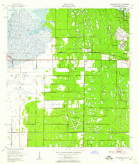 1949 Melbourne West1958 Print · USGSBrevard County underwent a post-war transition as the aviation industry and land reclamation reshaped the interior marshlands. Researchers can trace the layout of the Malabar Naval Air Station and early residential pockets like Melbourne Village or June Park.8 unique versions available
 - 1951 Map of Melbourne West
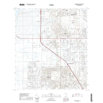
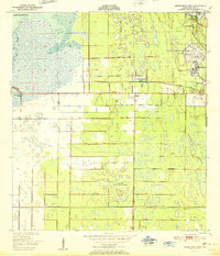 1951 Melbourne West1951 Print · USGSBrevard County was entering a new era of growth and aviation during the early fifties, before the space age transformed the region. Researchers can trace the layout of the Malabar Naval Air Station and early neighborhoods like June Park and Eau Gallie.
 - 1955 Map of Orlando, 1969 Print
 1955 Orlando1969 Print · USGSCentral Florida was entering the space age in the mid-fifties, balancing its citrus heritage with new military and aerospace frontiers. You can trace early developments at Kennedy Space Center or locate interior settlements like Eatonville and Pine Castle.3 unique versions available
 - 1957 Map of Orlando
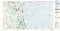
 1957 Orlando1957 Print · USGSCovers Country Club Vista, including Orlando, Palm Bay, and other nearby areas
 - 1958 Map of Orlando
 1958 Orlando1958 Print · USGSCentral Florida was a landscape of citrus, rail, and emerging aerospace technology during the late fifties. Researchers can trace the early footprints of Cape Canaveral and Patrick Air Force Base or locate inland citrus and rail hubs like Sanford and Lakeland.
 - 1962 Map of Orlando
 1962 Orlando1962 Print · USGSCentral Florida was transformed by aerospace and citrus at the start of the sixties. Genealogists and historians can trace old community footprints from Eau Gallie to Leesburg, alongside landmarks like McCoy AFB and the winding Econlockhatchee River.
 - 1981 Map of Cape Canaveral, 1983 Print
 1981 Cape Canaveral1983 Print · USGSThe Space Coast and the Florida marshlands meet in the early eighties as aerospace technology and nature preserves sit side-by-side. Trace the development of Cocoa Beach, the sprawling grounds of the Kennedy Space Center, and the inland waters of Lake Poinsett.
 - 2012 Map of Melbourne West, 2012 Print
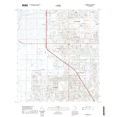
 2012 Melbourne West2012 Print · USGSCovers Country Club Vista, including Palm Bay, Melbourne, and other nearby areas
 - 2015 Map of Melbourne West, 2015 Print
 2015 Melbourne West2015 Print · USGSCovers Country Club Vista, including Palm Bay, Melbourne, and other nearby areas
 - 2018 Map of Melbourne West, 2018 Print
 2018 Melbourne West2018 Print · USGSCovers Country Club Vista, including Palm Bay, Melbourne, and other nearby areas
 - 2021 Map of Melbourne West, 2021 Print
 2021 Melbourne West2021 Print · USGSCovers Country Club Vista, including Palm Bay, Melbourne, and other nearby areas
 - 2024 Map of Melbourne West, 2024 Print
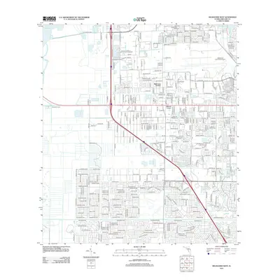
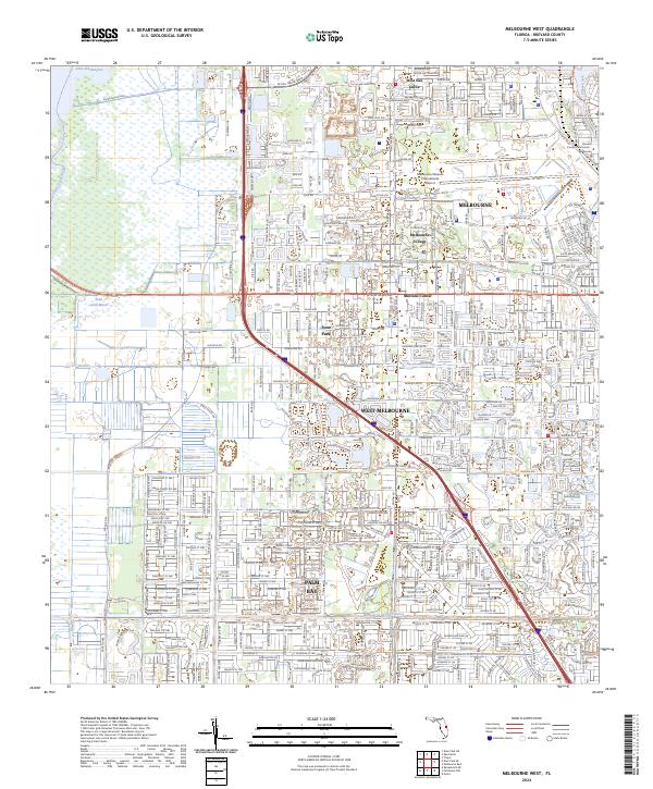 2024 Melbourne West2024 Print · USGSBrevard County's modern urban corridor meets the Florida wilderness in this detailed contemporary portrait of the Space Coast's western suburbs. Researchers can trace the development of West Melbourne and Palm Bay or locate landmarks like the Brevard County Courthouse.
End of results
Showing maps 1-12 of 12
Frequently asked questions
- What are the different types of historical maps available for Country Club Vista?
- What is the oldest map of Country Club Vista?
- Where can I purchase historical maps of Country Club Vista for my home or office?
- Where can I download high-res historical maps of Country Club Vista?
- Are there historical topographic maps available for Country Club Vista?
- Is there historical aerial imagery available for Country Club Vista?
- Where are historical maps of Country Club Vista sourced from?