2000s (21st Century) Maps of Sharpes, Florida
Explore 5 historic maps of Sharpes from the 2000s (21st Century). These maps offer a rare glimpse into what life looked like during the 2000s — showing old roads, neighborhoods, homes, and landmarks that have changed or disappeared over time.
Whether you're researching your family's past, planning a metal detecting trip, or studying how Sharpes's landscape evolved across the 2000s, these high-resolution maps are a powerful tool for exploring the history of this region.
- Focus on a specific era: All maps on this page are from the 2000s, giving you a focused view of this time period.
- See what’s changed: Compare century-old streets, trails, and buildings to today's modern landscape using overlays and satellite layers.
- Research with precision: Use these maps for genealogy, historical research, land use analysis, or educational projects.
- View, download, or print: Maps are fully viewable online in high resolution, and can be downloaded or printed for your own records.
Start exploring Sharpes's history through authentic maps from the 2000s. This is your window into the past.
Sharpes, FL maps
(5)- 2012 Map of Sharpes, 2012 Print
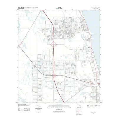 2012 Sharpes2012 Print · USGSCovers Sharpes, including Titusville, Port Saint John, and other nearby areas
 - 2015 Map of Sharpes, 2015 Print
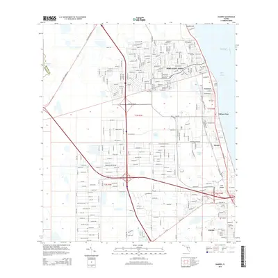 2015 Sharpes2015 Print · USGSCovers Sharpes, including Titusville, Port Saint John, and other nearby areas
 - 2018 Map of Sharpes, 2018 Print
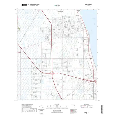 2018 Sharpes2018 Print · USGSCovers Sharpes, including Titusville, Port Saint John, and other nearby areas
 - 2021 Map of Sharpes, 2021 Print
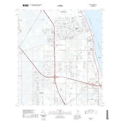 2021 Sharpes2021 Print · USGSCovers Sharpes, including Titusville, Port Saint John, and other nearby areas
 - 2024 Map of Sharpes, 2024 Print
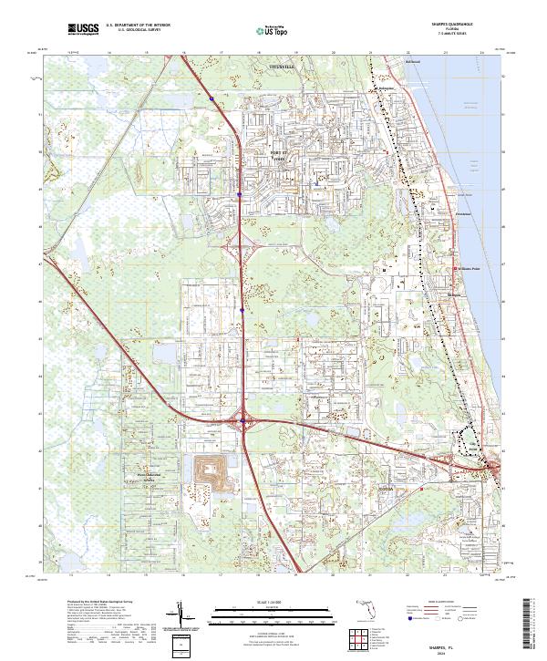 2024 Sharpes2024 Print · USGSBrevard County's Atlantic coast comes into focus in this contemporary study of the communities between the St. Johns and Indian Rivers. Trace the residential growth of Port St. John and Sharpes alongside the Florida East Coast Railway and the sprawling Saint Johns National Wildlife Refuge.
End of results
Showing maps 1-5 of 5
Top cities near Sharpes
- Titusville historical maps
- Merritt Island historical maps
- Rockledge historical maps
- Viera historical maps
- Cocoa historical maps
- Cocoa Beach historical maps
See more
Frequently asked questions
- What are the different types of historical maps available for Sharpes?
- What is the oldest map of Sharpes?
- Where can I purchase historical maps of Sharpes for my home or office?
- Where can I download high-res historical maps of Sharpes?
- Are there historical topographic maps available for Sharpes?
- Is there historical aerial imagery available for Sharpes?
- Where are historical maps of Sharpes sourced from?