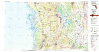
Old Maps of Ozello, Florida for Hiking & Exploration
Hike through history with 13 historic maps of Ozello. Explore old trails, ghost towns, and forgotten backroads — perfect for outdoor adventurers and local explorers.
- Rediscover forgotten places: Map out old mining camps, roads, and footpaths that no longer exist on modern maps.
- Layer with modern tools: Combine with LiDAR or satellite views to plan hikes through historical terrain.
- Made for exploration: Popular among hikers, overlanders, and local history lovers.
Use these maps to find adventure and explore the hidden past of Ozello.
Ozello, FL maps
(13)- 1954 Map of Ozello, 1955 Print
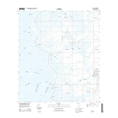
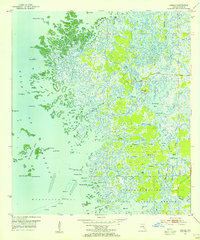 1954 Ozello1955 Print · USGSThe Citrus County coastline was a maze of mangrove islands and tidal creeks in the mid-fifties, centered on the remote village of Ozello. Local historians can trace the intricate waterways of the St Martins River, find old landmarks like Hell Gate, and explore the early boundaries of the Chassahowitzka National Wildlife Refuge.5 unique versions available
 - 1955 Map of Plant City, 1966 Print
 1955 Plant City1966 Print · USGSMid-century Central Florida comes to life in this survey of the Nature Coast and the inland citrus and rail belt. Genealogists and historians can trace the paths of the Atlantic Coast Line, locate the Anclote Keys Lighthouse, or find old communities like Masaryktown and Lacoochee.6 unique versions available
 - 1958 Map of Plant City
 1958 Plant City1958 Print · USGSFlorida's Gulf Coast and inland ridge country are captured here in the mid-fifties, showing the region before modern sprawl. Genealogists and historians can trace rail-era towns like Richland and Trilby or locate coastal landmarks such as the Anclote Keys Lighthouse.
 - 1959 Map of Plant City
 1959 Plant City1959 Print · USGSThe West Florida coast and inland timberlands are captured here in the late fifties, from the bend of the Gulf to the rail hubs of the interior. Trace the paths of the Atlantic Coast Line through Inverness and find landmarks like the Anclote Keys Lighthouse.
 - 1964 Map of Plant City
 1964 Plant City1964 Print · USGSThe West Florida coast and its interior rail corridors come alive in this mid-sixties survey, spanning from the gulf marshes to the agricultural heartland. Researchers can trace the routes of the Atlantic Coast Line through settlements like Bushnell, Inverness, and Plant City.
 - 1979 Map of Inverness, 1980 Print
 1979 Inverness1980 Print · USGSThe West Central Florida coastline and lake regions are captured here in the late seventies, showing the transition from Gulf marshes to the interior wetlands. Genealogists and researchers can locate family sites near Inverness or trace the early rail corridors of the Seaboard Coast Line through Wildwood and Okahumpka.2 unique versions available
 - 1994 Map of Ozello, 1998 Print
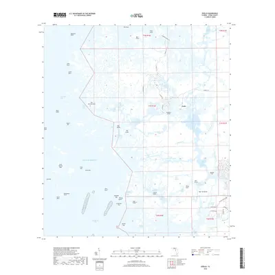
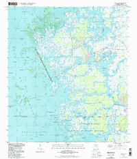 1994 Ozello1998 Print · USGSThe Florida coast near Citrus County comes alive in this mid-nineties survey of the sawgrass marshes and winding tidal creeks. Boaters and local historians can trace the intricate passages of The Narrows, find the isolated community of Ozello, and locate landmarks like Hell Gate and Paradise I.
 - 2012 Map of Ozello, 2012 Print
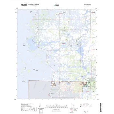
 2012 Ozello2012 Print · USGSCovers Ozello, including Citrus County, United States, and other nearby areas
 - 2015 Map of Ozello, 2015 Print
 2015 Ozello2015 Print · USGSCovers Ozello, including Citrus County, United States, and other nearby areas
 - 2018 Map of Ozello, 2018 Print
 2018 Ozello2018 Print · USGSCovers Ozello, including Citrus County, United States, and other nearby areas
 - 2021 Map of Ozello, 2021 Print
 2021 Ozello2021 Print · USGSCovers Ozello, including Citrus County, United States, and other nearby areas
 - 2024 Map of Ozello, 2024 Print
 2024 Ozello2024 Print · USGSCovers Ozello, including Citrus County, United States, and other nearby areas
 - 2025 Map of Ozello, 2025 Print
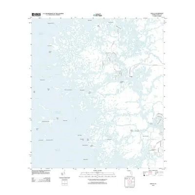
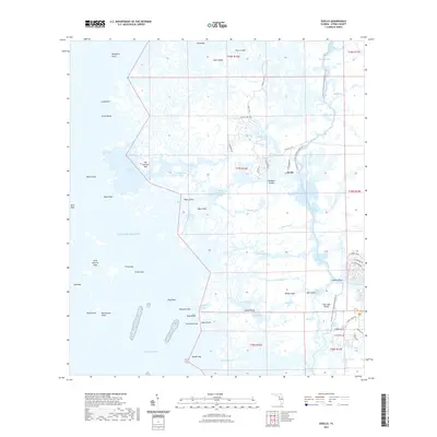
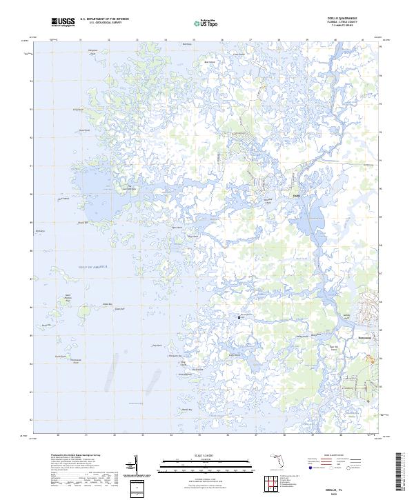 2025 Ozello2025 Print · USGSCoastal Citrus County is shown in remarkable detail in 2025, from the island outposts of the gulf to the swampy interior. Trace family sites near Morningwood Cem or explore the intricate waterways of Ozello, Hell Gate, and the Chassahowitzka Swamp.
End of results
Showing maps 1-13 of 13
Top cities near Ozello
- Homosassa Springs historical maps
- Sugarmill Woods historical maps
- Pine Ridge historical maps
- Beverly Hills historical maps
- Citrus Hills historical maps
- Lecanto historical maps
See more
Frequently asked questions
- What are the different types of historical maps available for Ozello?
- What is the oldest map of Ozello?
- Where can I purchase historical maps of Ozello for my home or office?
- Where can I download high-res historical maps of Ozello?
- Are there historical topographic maps available for Ozello?
- Is there historical aerial imagery available for Ozello?
- Where are historical maps of Ozello sourced from?