2020s Maps of Marco Island, Florida
Explore 6 historic maps of Marco Island from the 2020s. These maps offer a rare glimpse into what life looked like during the 2020s — showing old roads, neighborhoods, homes, and landmarks that have changed or disappeared over time.
Whether you're researching your family's past, planning a metal detecting trip, or studying how Marco Island's landscape evolved across the 2020s, these high-resolution maps are a powerful tool for exploring the history of this region.
- Focus on a specific era: All maps on this page are from the 2020s, giving you a focused view of this time period.
- See what’s changed: Compare century-old streets, trails, and buildings to today's modern landscape using overlays and satellite layers.
- Research with precision: Use these maps for genealogy, historical research, land use analysis, or educational projects.
- View, download, or print: Maps are fully viewable online in high resolution, and can be downloaded or printed for your own records.
Start exploring Marco Island's history through authentic maps from the 2020s. This is your window into the past.
Marco Island, FL maps
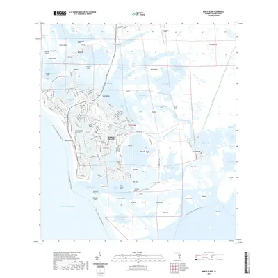
(6)- 2021 Map of Marco Island OE W, 2021 Print
 2021 Marco Island OE W2021 Print · USGSCovers Marco Island, including Collier County, United States, and other nearby areas
 - 2021 Map of Marco Island, 2021 Print
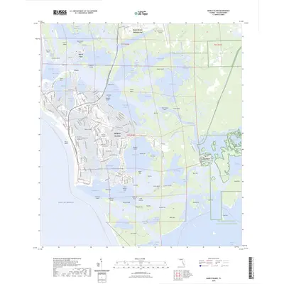
 2021 Marco Island2021 Print · USGSCovers Marco Island, including Marco Shores–Hammock Bay, Goodland, and other nearby areas
 - 2024 Map of Marco Island, 2024 Print
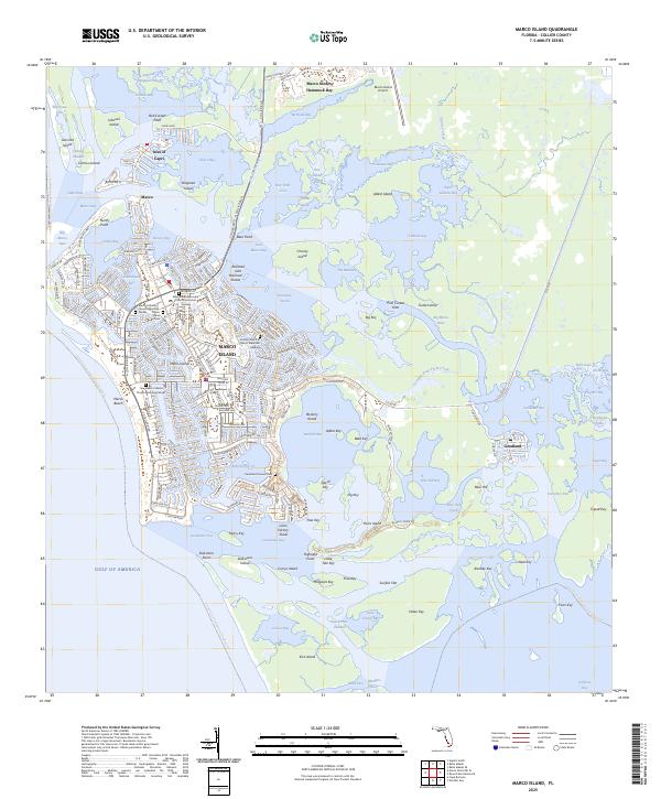
 2024 Marco Island2024 Print · USGSCovers Marco Island, including Marco Shores–Hammock Bay, Goodland, and other nearby areas
 - 2024 Map of Marco Island OE W, 2024 Print
 2024 Marco Island OE W2024 Print · USGSCovers Marco Island, including Collier County, United States, and other nearby areas
 - 2025 Map of Marco Island OE W, 2025 Print
 2025 Marco Island OE W2025 Print · USGSCoastal Collier County meets the Gulf in this contemporary survey of the shoreline. Boaters and maritime historians can trace the Florida Circumnavigational Paddling Trl as it passes South Point along the edge of the Gulf of America.
 - 2025 Map of Marco Island, 2025 Print
 2025 Marco Island2025 Print · USGSThe Ten Thousand Islands shoreline is documented here just as modern development meets the maritime traditions of Collier County. Trace the origins of local families at the Caxambas Pioneer Cem or explore the waterfront around Goodland and Isles of Capri.
End of results
Showing maps 1-6 of 6
Top cities near Marco Island
- Naples historical maps
- Lely Resort historical maps
- Naples Manor historical maps
- Lely historical maps
- Verona Walk historical maps
- Marco Shores–Hammock Bay historical maps
See more
Top neighborhoods of Marco Island
Frequently asked questions
- What are the different types of historical maps available for Marco Island?
- What is the oldest map of Marco Island?
- Where can I purchase historical maps of Marco Island for my home or office?
- Where can I download high-res historical maps of Marco Island?
- Are there historical topographic maps available for Marco Island?
- Is there historical aerial imagery available for Marco Island?
- Where are historical maps of Marco Island sourced from?