Old Maps of Marco Island, Florida for Academic Research
Study the evolution of Marco Island with 18 high-resolution historic maps. Whether you're teaching, researching, or modeling changes in land use, these maps provide essential visual documentation of urban, environmental, and geographic change.
- Analyze long-term change: Track patterns in development, transportation, and natural features.
- Ideal for environmental or urban studies: Support academic projects with primary historical map data.
- Use in the classroom or lab: Educators and researchers rely on these maps to bring historical context to life.
These maps are a powerful tool for teaching, research, and visualizing how Marco Island has changed over the decades.
Marco Island, FL maps
(18)- 1956 Map of Miami, 1963 Print
 1956 Miami1963 Print · USGSSouthern Florida experiences post-war expansion in the 1950s, even as the wilderness remains dominant across the southern peninsula. Genealogists and historians can trace suburban growth in Opa-locka and Perrine or locate remote sites like the Tamiami Ranger Station.5 unique versions available
 - 1958 Map of Miami
 1958 Miami1958 Print · USGSSoutheast Florida in the late fifties reveals a coastal boom held in balance with the wild sawgrass and mangroves of Everglades National Park. Trace the paths of the Florida East Coast RR through Homestead or locate the U S Marine Corps Air Station during the height of the Cold War.
 - 1973 Map of Marco Island, 1976 Print
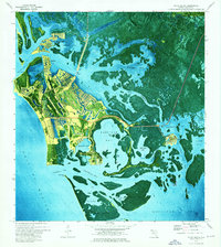 1973 Marco Island1976 Print · USGSCoastal Collier County undergoes a dramatic transition in the early seventies as new canal-front developments rise from the mangroves. Genealogists and local historians can trace the growth of Marco and Goodland, identifying local landmarks like St Marks Ch and the Old Railroad Grade.3 unique versions available
 - 1982 Map of Everglades City
 1982 Everglades City1982 Print · USGSSouthwest Florida's mangrove coasts and cypress strands appear in detailed transition during the early eighties as conservation boundaries expanded. Researchers can trace remote settlements like Lee Cypress and Copeland or explore the labyrinth of Thousand Islands.
 - 1988 Map of Miami
 1988 Miami1988 Print · USGSSouth Florida in the late eighties shows the sharp edge between the growing urban Atlantic coast and the vast wetlands of Everglades National Park. Researchers can trace the path of the Tamiami Trail and locate coastal settlements like Ochopee or Chokoloskee.
 - 1995 Map of Marco Island, 1999 Print
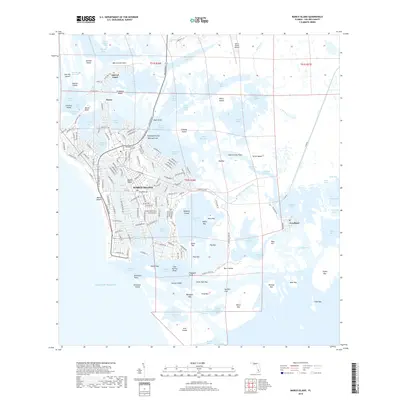
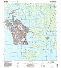 1995 Marco Island1999 Print · USGSMarco Island in the mid-nineties showcases a rapidly developing coastline defined by intricate canal systems and growing residential tracts. Researchers can trace local infrastructure from the Toll Bridge and Barfield Sch to the quiet fishing village of Goodland.
 - 2012 Map of Marco Island OE W, 2012 Print
 2012 Marco Island OE W2012 Print · USGSCovers Marco Island, including Collier County, United States, and other nearby areas
 - 2012 Map of Marco Island, 2012 Print
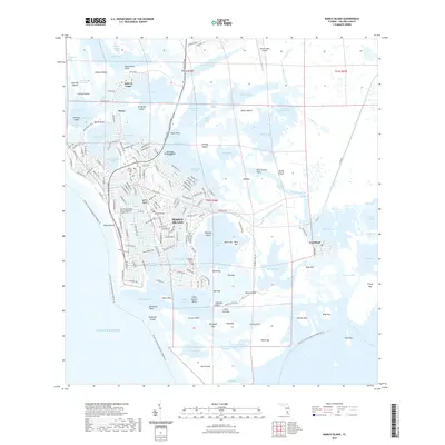
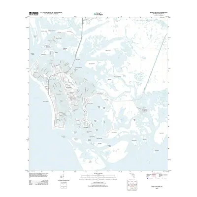 2012 Marco Island2012 Print · USGSCovers Marco Island, including Marco Shores–Hammock Bay, Goodland, and other nearby areas
 - 2015 Map of Marco Island OE W, 2015 Print
 2015 Marco Island OE W2015 Print · USGSCovers Marco Island, including Collier County, United States, and other nearby areas
 - 2015 Map of Marco Island, 2015 Print
 2015 Marco Island2015 Print · USGSCovers Marco Island, including Marco Shores–Hammock Bay, Goodland, and other nearby areas
 - 2018 Map of Marco Island, 2018 Print
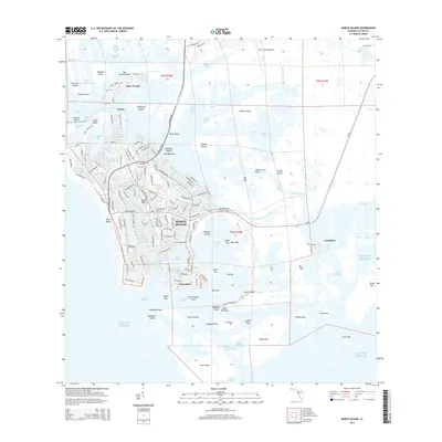
 2018 Marco Island2018 Print · USGSCovers Marco Island, including Marco Shores–Hammock Bay, Goodland, and other nearby areas
 - 2018 Map of Marco Island OE W, 2018 Print
 2018 Marco Island OE W2018 Print · USGSCovers Marco Island, including Collier County, United States, and other nearby areas
 - 2021 Map of Marco Island OE W, 2021 Print
 2021 Marco Island OE W2021 Print · USGSCovers Marco Island, including Collier County, United States, and other nearby areas
 - 2021 Map of Marco Island, 2021 Print
 2021 Marco Island2021 Print · USGSCovers Marco Island, including Marco Shores–Hammock Bay, Goodland, and other nearby areas
 - 2024 Map of Marco Island, 2024 Print
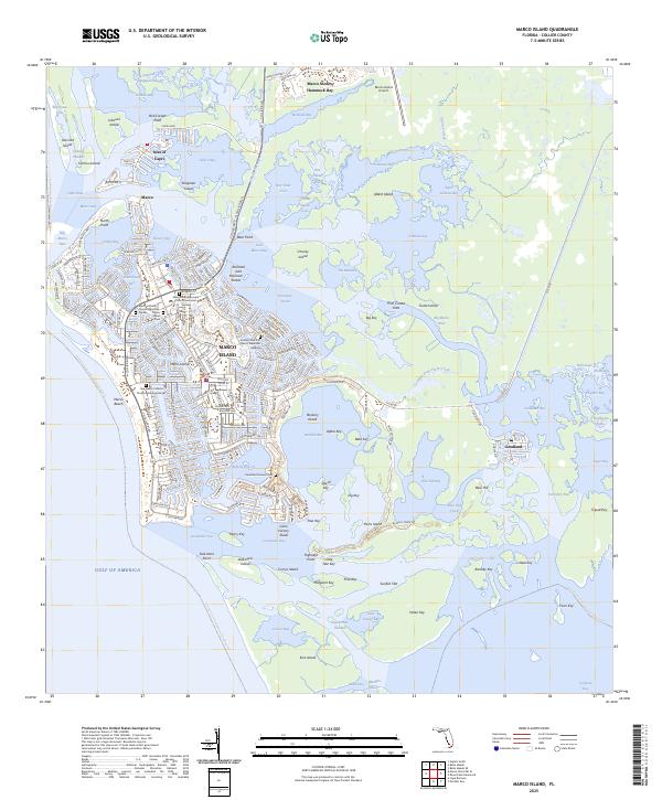
 2024 Marco Island2024 Print · USGSCovers Marco Island, including Marco Shores–Hammock Bay, Goodland, and other nearby areas
 - 2024 Map of Marco Island OE W, 2024 Print
 2024 Marco Island OE W2024 Print · USGSCovers Marco Island, including Collier County, United States, and other nearby areas
 - 2025 Map of Marco Island OE W, 2025 Print
 2025 Marco Island OE W2025 Print · USGSCoastal Collier County meets the Gulf in this contemporary survey of the shoreline. Boaters and maritime historians can trace the Florida Circumnavigational Paddling Trl as it passes South Point along the edge of the Gulf of America.
 - 2025 Map of Marco Island, 2025 Print
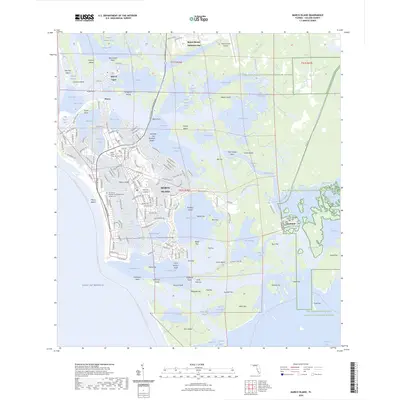
 2025 Marco Island2025 Print · USGSThe Ten Thousand Islands shoreline is documented here just as modern development meets the maritime traditions of Collier County. Trace the origins of local families at the Caxambas Pioneer Cem or explore the waterfront around Goodland and Isles of Capri.
End of results
Showing maps 1-18 of 18
Top cities near Marco Island
- Naples historical maps
- Lely Resort historical maps
- Naples Manor historical maps
- Lely historical maps
- Verona Walk historical maps
- Marco Shores–Hammock Bay historical maps
See more
Top neighborhoods of Marco Island
Frequently asked questions
- What are the different types of historical maps available for Marco Island?
- What is the oldest map of Marco Island?
- Where can I purchase historical maps of Marco Island for my home or office?
- Where can I download high-res historical maps of Marco Island?
- Are there historical topographic maps available for Marco Island?
- Is there historical aerial imagery available for Marco Island?
- Where are historical maps of Marco Island sourced from?