2012 Map of Marco Island OE W
USGS Topo · Published 2012About this map
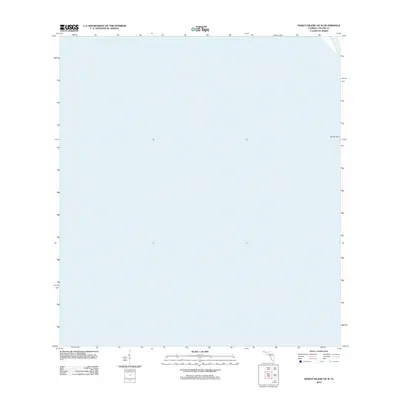
South Point provides the sole geographical marker for this marine-dominated survey of the Gulf of Mexico waters off the Florida coast. Prepared by the U.S. Geological Survey using 2010 imagery, the map focuses almost entirely on the open hydrography of the region, where the Gulf's expanse meets the coastal fringes of Collier County. The absence of terrestrial detail or built infrastructure highlights the environmental character of the area, serving primarily as a navigational and bathymetric reference for the waters surrounding the southwestern tip of the state.
Find a feature on this map
1 named feature on this map. Tap any name to fly to it.
Don’t see what you’re looking for? This feature index may not catch every label — zoom into the map to look around manually.
Map Details
Editions of this 2012 Marco Island OE W Map
This is the sole edition of this map. No revisions or reprints were ever made.
Other maps of this area

1956 · Miami
USGS Topo · 1:250,000

1956 · West Palm Beach
USGS Topo · 1:250,000

1957 · West Palm Beach
USGS Topo · 1:250,000

1958 · West Palm Beach
USGS Topo · 1:250,000

1958 · Miami
USGS Topo · 1:250,000

1958 · Belle Meade
USGS Topo · 1:24,000

1958 · Naples South
USGS Topo · 1:24,000

1973 · Cape Romano
USGS Topo · 1:24,000

1973 · Marco Island
USGS Topo · 1:24,000

1982 · Everglades City
USGS Topo · 1:100,000