
1958 Map of Naples South
USGS Topo · Published 1959About this map
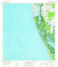
Naples is captured here during a pivotal moment of mid-century coastal development, showing the early transformation of the Florida shoreline. The map documents the intricate finger canals and waterfront dredging along Naples Bay, signaling the transition from a small coastal outpost to an engineered resort destination. South of the city, the landscape remains dominated by the complex tidal environment of Gordon Pass and the mangrove-lined waters of Dollar Bay.
Find a feature on this map
10 named features on this map. Tap any name to fly to it.
Don’t see what you’re looking for? This feature index may not catch every label — zoom into the map to look around manually.
Map Details
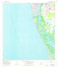
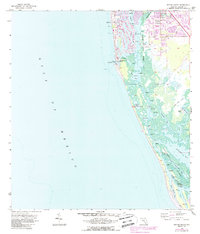
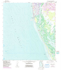
Editions of this 1958 Naples South Map
5 editions found
Other maps of this area

1956 · Miami
USGS Topo · 1:250,000

1956 · West Palm Beach
USGS Topo · 1:250,000

1957 · West Palm Beach
USGS Topo · 1:250,000

1958 · West Palm Beach
USGS Topo · 1:250,000

1958 · Miami
USGS Topo · 1:250,000

1958 · Belle Meade
USGS Topo · 1:24,000

1958 · Belle Meade NW
USGS Topo · 1:24,000

1958 · Naples North
USGS Topo · 1:24,000

1973 · Marco Island
USGS Topo · 1:24,000

1982 · Everglades City
USGS Topo · 1:100,000