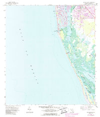
1958 Map of Naples South
USGS Topo · Published 1988About this map
The coastal environment of Naples takes center stage in this mid-century survey, updated in the late 1980s to show the burgeoning canal systems and residential development spreading south from the city core. The intricate network of finger canals and artificial lagoons contrasts sharply with the natural shoreline preserved further south within the Nature Conservancy lands. The map details the vital maritime gateways of the era, including Gordon Pass and the winding reaches of Naples Bay, which served as the primary navigation arteries before more modern infrastructure dominated the landscape.
Find a feature on this map
18 named features on this map. Tap any name to fly to it.
Don’t see what you’re looking for? This feature index may not catch every label — zoom into the map to look around manually.
Map Details
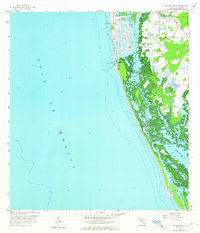
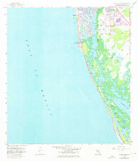
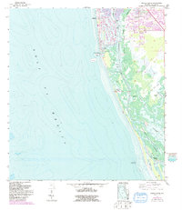
Editions of this 1958 Naples South Map
5 editions found
Other maps of this area

1956 · Miami
USGS Topo · 1:250,000

1956 · West Palm Beach
USGS Topo · 1:250,000

1957 · West Palm Beach
USGS Topo · 1:250,000

1958 · West Palm Beach
USGS Topo · 1:250,000

1958 · Miami
USGS Topo · 1:250,000

1958 · Belle Meade
USGS Topo · 1:24,000

1958 · Naples South
USGS Topo · 1:24,000

1958 · Belle Meade NW
USGS Topo · 1:24,000

1958 · Naples North
USGS Topo · 1:24,000

1973 · Marco Island
USGS Topo · 1:24,000