
1958 Map of Naples North
USGS Topo · Published 1959About this map
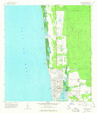
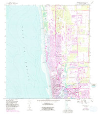
Naples is shown here in the late 1950s, revealing a coastal community at a moment of transition before the heavy development of the late 20th century. The intricate shoreline along the Gulf of Mexico is defined by a series of tidal inlets and bays, including Inner Clam Bay, Outer Clam Bay, and Outer Doctors Bay. These natural features are linked to the sea by narrow openings like Clam Pass and Doctors Pass. The map details the early civic infrastructure of the growing town, featuring the Naples Airport and local institutions such as Lake Park Sch, Carver Sch, and the Hospital. The presence of the Atlantic Coast Line railroad and landmarks like Caribbean Gardens illustrates the area's emerging identity as a winter destination and transportation hub, while the numerous Daybeacons in Naples Bay emphasize its importance for coastal navigation and the local economy.
Find a feature on this map
22 named features on this map. Tap any name to fly to it.
Don’t see what you’re looking for? This feature index may not catch every label — zoom into the map to look around manually.
Map Details
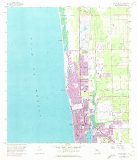
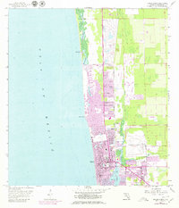
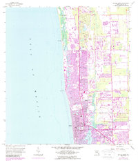
Editions of this 1958 Naples North Map
6 editions found
Other maps of this area

1956 · West Palm Beach
USGS Topo · 1:250,000

1957 · West Palm Beach
USGS Topo · 1:250,000

1958 · West Palm Beach
USGS Topo · 1:250,000

1958 · Bonita Springs
USGS Topo · 1:24,000

1958 · Belle Meade
USGS Topo · 1:24,000

1958 · Naples South
USGS Topo · 1:24,000

1958 · Belle Meade NW
USGS Topo · 1:24,000

1958 · Corkscrew SW
USGS Topo · 1:24,000
1985 · Naples
USGS Topo · 1:100,000
1987 · West Palm Beach
USGS Topo · 1:250,000