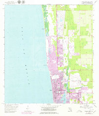
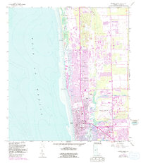
1958 Map of Naples North
USGS Topo · Published 1979About this map
The Gulf of Mexico shoreline defines this mid-century survey of the Florida coast, documenting the early residential and commercial expansion of Naples and North Naples. The map captures a transition toward modern resort and aviation infrastructure, centered around the Naples Airport and several golf courses. Development follows the natural waterways, with the Gordon River and Naples Bay anchoring the southern portion of the sheet. Notable local institutions include the Carver Sch, Lake Park Sch, and Caribbean Gardens, reflecting the social and recreational fabric of the era. The Seaboard Coast Line railroad runs vertically through the landscape, providing a clear reference for the historical transportation corridor before much of the area's later transformation. Coastal features like Clam Pass, Inner Doctors Bay, and Doctors Pass illustrate the intricate inlet system as it appeared before decades of shoreline modification and dredging.
Find a feature on this map
25 named features on this map. Tap any name to fly to it.
Don’t see what you’re looking for? This feature index may not catch every label — zoom into the map to look around manually.
Map Details
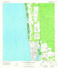
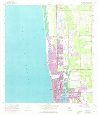
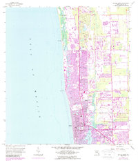
Editions of this 1958 Naples North Map
6 editions found
Other maps of this area

1956 · West Palm Beach
USGS Topo · 1:250,000

1957 · West Palm Beach
USGS Topo · 1:250,000

1958 · West Palm Beach
USGS Topo · 1:250,000

1958 · Bonita Springs
USGS Topo · 1:24,000

1958 · Belle Meade
USGS Topo · 1:24,000

1958 · Naples South
USGS Topo · 1:24,000

1958 · Belle Meade NW
USGS Topo · 1:24,000

1958 · Corkscrew SW
USGS Topo · 1:24,000

1958 · Naples North
USGS Topo · 1:24,000
1985 · Naples
USGS Topo · 1:100,000