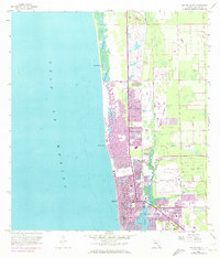
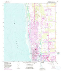
1958 Map of Naples North
USGS Topo · Published 1973About this map
Naples and its surrounding coastal communities are captured during a period of rapid mid-century expansion along the Gulf of Mexico. The map illustrates a landscape of finger canals and residential dredging projects, particularly evident around Inner Doctors Bay and the northern reaches of Naples Bay. This development pattern, highlighted by purple updates from 1972, shows the conversion of coastal wetlands into a highly structured urban grid. Inland, the Naples Airport and the Seaboard Coast Line railroad provide the infrastructure for this burgeoning vacation and retirement destination.
Find a feature on this map
25 named features on this map. Tap any name to fly to it.
Don’t see what you’re looking for? This feature index may not catch every label — zoom into the map to look around manually.
Map Details
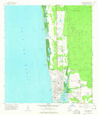
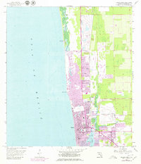
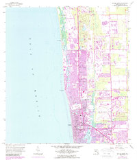
Editions of this 1958 Naples North Map
6 editions found
Other maps of this area

1956 · West Palm Beach
USGS Topo · 1:250,000

1957 · West Palm Beach
USGS Topo · 1:250,000

1958 · West Palm Beach
USGS Topo · 1:250,000

1958 · Bonita Springs
USGS Topo · 1:24,000

1958 · Belle Meade
USGS Topo · 1:24,000

1958 · Naples South
USGS Topo · 1:24,000

1958 · Belle Meade NW
USGS Topo · 1:24,000

1958 · Corkscrew SW
USGS Topo · 1:24,000

1958 · Naples North
USGS Topo · 1:24,000
1985 · Naples
USGS Topo · 1:100,000